Work · alternatives · 2026

24 alternatives to Drone Topographical Surveys
High-precision, high-accuracy topographical surveying
Below are 24 products that do a similar job, ranked by how close each is in meaning and then by launch-day votes. Drone Topographical Surveys launched in 2020; newer entries below may have overtaken it.
- 1

An app that creates aerial imagery (Kickstarter).
2014 · kickstarter.com · its alternatives →
- 2
- 3

- 4

- 5

- 6

- 7
 GroundWork▲101
A free tool to label drone, aerial, and satellite imagery
2020 · element84.com · its alternatives →
- 8

High-resolution surface analysis with LiDAR data. Contribute to r-follador/delta-relief development by creating an account on GitHub.
2025 · github.com · its alternatives →
- 9

- 10

- 11

Real-time Drone Mapping is Here
2017 · dronedeploy.com · its alternatives →
- 12

- 13

Accurate roof reports with your drone + machine learning
2018 · dronedeploy.com · its alternatives →
- 14

- 15

- 16
 TravelbyDrone▲112
Collects travel videos taken by drones.
2014 · travelbydrone.com · its alternatives →
- 17

- 18

- 19

- 20
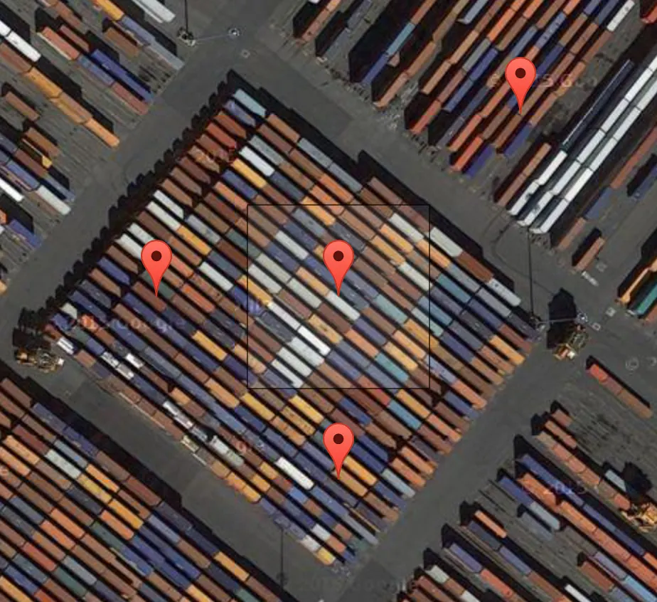 Terrapattern▲77
A visual search tool for satellite imagery
2016 · terrapattern.com · its alternatives →
- 21

A beginner to intermediate-level guide for drone players
2015 · its alternatives →
- 22

Landscape Measurement and Bidding
May 2026 · verdantmeridian.app · its alternatives →
- 23
 PixelSpace▲68
A tediously accurate scale model of the solar system
2014 · joshworth.com · its alternatives →
- 24

Astronaut designed and DJI compatible flight control
2018 · fluidity.tech · its alternatives →
Also compare
Ranked by how close each launch is in meaning, then by votes. Prices were read from each product’s own site when checked and can change. Refine with your own description →