Dev tools · alternatives · 2026

24 alternatives to Geo Risk Services
Geographic factors for modern risk assessment
Below are 24 products that do a similar job, ranked by how close each is in meaning and then by launch-day votes. Geo Risk Services launched in 2024; newer entries below may have overtaken it.
- 1
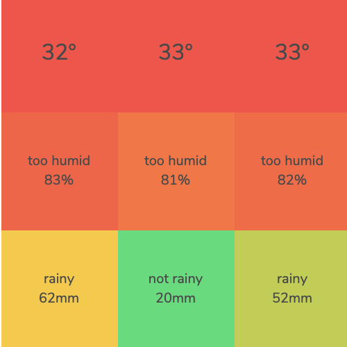 Climate Finder▲438
Pick temperature and air quality and find places that match
2020 · its alternatives →
- 2
- 3
 AreaHub▲75
Discover climate and environmental hazards near you
2022 · areahub.com · its alternatives →
- 4
 Weathersight▲71
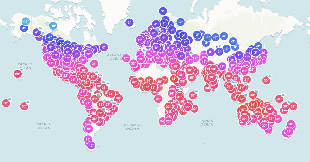
Discover changing weather patterns across the globe
2023 · weathersight.io · its alternatives →
- 5

- 6

Share the weather info in your location with other users
2022 · world-weather.info · its alternatives →
- 7

Climate-vet where you live
2023 · habitableliving.com · its alternatives →
- 8
- 9

Using smart thermometers to detect surges in COVID-19 cases
2020 · extensive.io · its alternatives →
- 10

- 11

- 12
 GeographyHelp▲136
Comprehensive GeoGuessr Resources with maps, quizzes & more
2024 · geography.help · its alternatives →
- 13

Explore global weather forecasts on interactive maps with temperature, wind, and precipitation overlays. 16-day outlooks for cities worldwide, powered by NOAA GFS.
2014 · weather-explorer.com · its alternatives →
- 14

An evolving, nationwide map of the outdoors
2015 · naturalatlas.com · its alternatives →
- 15

Your trusted source for accurate marine weather conditions
2023 · apps.apple.com · its alternatives →
- 16

Highly performant, global, point on earth to timezone API
2022 · timezonesapi.com · its alternatives →
- 17
 Troposphere▲72
Global weather and climate data API for your projects
2021 · troposphere.io · its alternatives →
- 18

Real time lightning strikes across the globe
2014 · lightningmaps.org · its alternatives →
- 19
 Earth▲4
An intetractive map of global weather conditions
2015 · earth.nullschool.net · its alternatives →
- 20
 Ouranos API▲63
Weather service and API specialized in astronomy
2023 · rapidapi.com · its alternatives →
- 21

A tutorial on using geospatial analysis, shapefiles and datasets from the U.S. Geological Survey, Census, and Department of Education to visualize the impact of Oklahoma
2015 · 2015.padjo.org · its alternatives →
- 22

- 23
 SpotCast▲9
Your spot, your weather in one tap.
Jun 2026 · spotcast.evident-ai.org · its alternatives →
- 24IB
I built a weather and hurricane tracking site for the Eastern Caribbean islands (https://dewedda.com). PHP, MySQL, Cloudflare, Visual Crossing API, Leaflet.js for maps. The interesting part wasn't the stack. It was realizing how much the interpretation layer matters when you're building for a specific region. Wind descriptions, "feels like" calculations, condition summaries, all tuned for temperate climates by default. I've been reworking them for the Eastern Caribbean audience. Wrote about what I learned: https://hydn.dev/82-degrees-feels-like/
Apr 2026 · its alternatives →
Also compare
Ranked by how close each launch is in meaning, then by votes. Prices were read from each product’s own site when checked and can change. Refine with your own description →