Dev tools · alternatives · 2026
24 alternatives to Geocoding API built with government open data
Below are 24 products that do a similar job, ranked by how close each is in meaning and then by launch-day votes. Geocoding API built with government open data launched in 2016; newer entries below may have overtaken it.
- 1GI
2019 · geo-info.co · its alternatives →
- 2GI
2020 · geo-info.co · its alternatives →
- 3
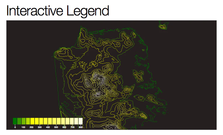
- 4AS
2017 · hatuko.com · its alternatives →
- 5

- 6WR
2022 · docs.radar.chat · its alternatives →
- 7

2018 · gitlab.com · its alternatives →
- 8RG
2022 · reverse-geocoding.com · its alternatives →
- 9
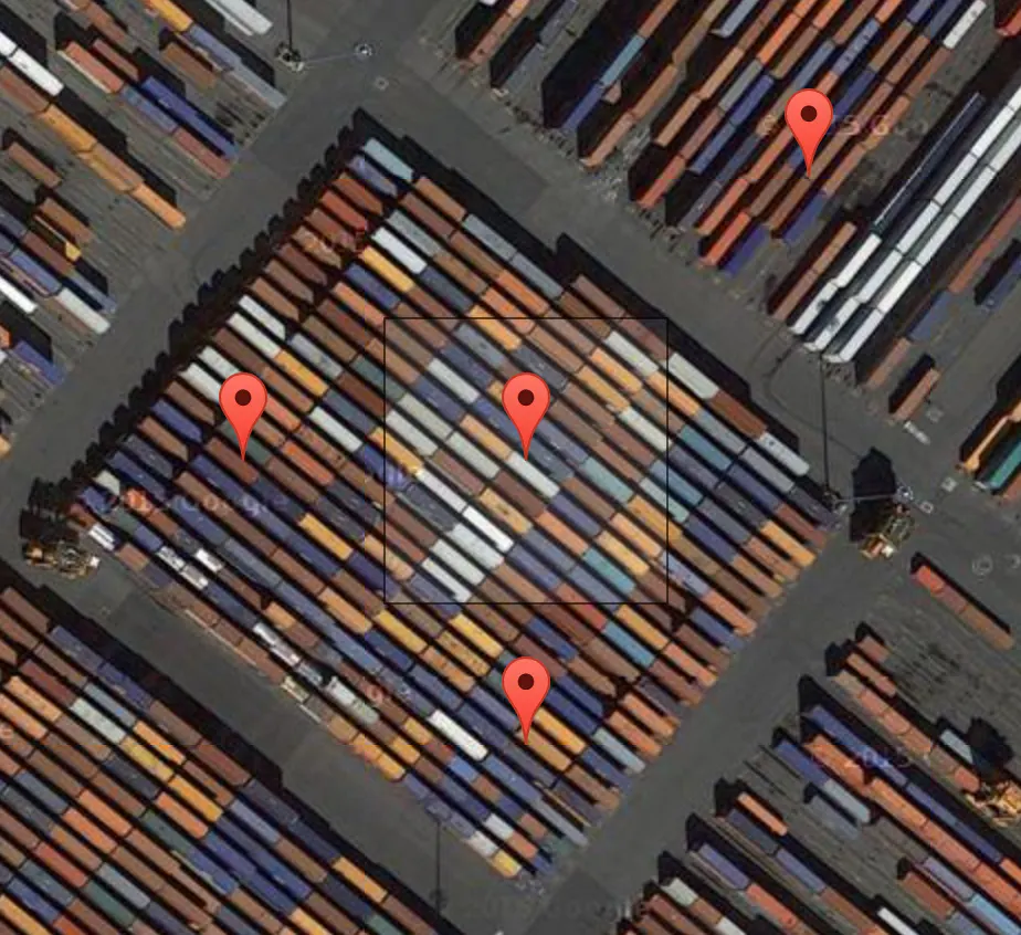 Terrapattern▲77
A visual search tool for satellite imagery
2016 · terrapattern.com · its alternatives →
- 10

- 11
 OpenPaths▲62
A secure data locker for personal location information
2014 · openpaths.cc · its alternatives →
- 12

- 13

An API to convert coordinates to and from places.
2016 · opencagedata.com · its alternatives →
- 14KM
2024 · krata.app · its alternatives →
- 15GA
2022 · gallpeters.vercel.app · its alternatives →
- 16

Geocodify is a free, simple-to-use, enterprise-grade worldwide geocoding, geoparsing and maps api that allows you to build location aware applications.
2012 · geocoda.com · its alternatives →
- 17YF
2013 · yardbase.org · its alternatives →
- 18AC
2015 · snitches.co · its alternatives →
- 19

- 20RT
2013 · coinstream.io · its alternatives →
- 21JA
2021 · japan-api.github.io · its alternatives →
- 22GT
2018 · geofable.com · its alternatives →
- 23SA
2015 · stratigy.danielkerkow.de · its alternatives →
- 24
 Leaftlet▲9
an OSS JS library for mobile-friendly interactive maps
2016 · leafletjs.com · its alternatives →
Also compare
Ranked by how close each launch is in meaning, then by votes. Prices were read from each product’s own site when checked and can change. Refine with your own description →