Life & fun · alternatives · 2026

24 alternatives to Hoodmaps
Crowdsourced neighborhood 🗺 maps to navigate a city 💫
Below are 24 products that do a similar job, ranked by how close each is in meaning and then by launch-day votes. Hoodmaps launched in 2018; newer entries below may have overtaken it.
- 1
 Hoodmaps▲792
Crowdsourced neighborhood 🗺 maps to navigate a city 💫
2017 · hoodmaps.com · its alternatives →
- 2

- 3

- 4

- 5
 Manymap▲577
Route planner for explorers with real-time collaboration
2023 · mapmagic.app · its alternatives →
- 6
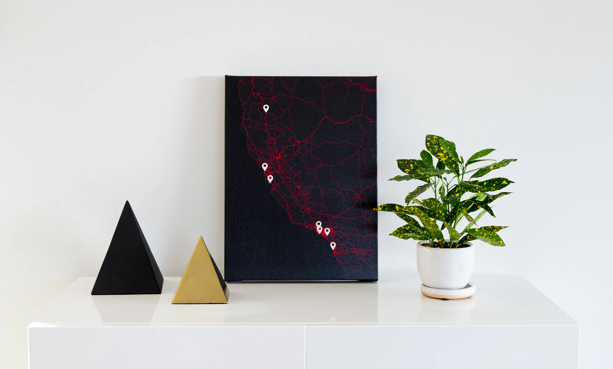
 TiltMaps▲175
Create map posters of your favorite places & memories.
2017 · tiltmaps.com · its alternatives →
- 7

App to tell you the neighborhood in which you currently are
2021 · whatsmyhood.com · its alternatives →
- 8

- 9

MapHub allows you to create, share and collaborate interactive maps online.
2016 · maphub.net · its alternatives →
- 10
- 11SI
2012 · johndbritton.com · its alternatives →
- 12

- 13

- 14

- 15

- 16

Hey HN, jvaclavik here from OpenClimbing team! We are thrilled to release version 2.0 of our fully opensource/opendata climbing guide. Based on OpenStreetMap for map-data and Wikimedia Commons for images, we created a (hopefully) user-friendly app which completely uses these open databases, thus contributing data back to commons. We designed a simple and powerful notation for drawing climbing routes directly over the Wikimedia pictures: - https://wiki.openstreetmap.org/wiki/Key:wikimedia_commons:pa... Check out the release article for a ton of new features, or go…
2014 · openstreetmap.org · its alternatives →
- 17
 Monochōme▲69
Custom map-based clothing from OpenStreetMap data
2014 · monochome.com · its alternatives →
- 18

- 19

Make social simulations on real maps! Agent-based modeling for the web. - noncomputable/AgentMaps
2018 · github.com · its alternatives →
- 20AB
2014 · actionstreetmap.github.io · its alternatives →
- 21

- 22
 Polarsteps▲131
Automatically track your journeys on a stunning map
2015 · polarsteps.com · its alternatives →
- 23

- 24

I just redesigned an old (1 year) project and would appreciate any feedback. The site has no real purpose other than allowing you to explore the large amount of imagery gathered by Google. You can make it less random by choosing a country, or indeed any geographical area (cities etc.) http://www.mapcrunch.com Thanks
2011 · mapcrunch.com · its alternatives →
Also compare
Ranked by how close each launch is in meaning, then by votes. Prices were read from each product’s own site when checked and can change. Refine with your own description →