Work · alternatives · 2026

24 alternatives to Land Area Calculator by OrangeBot
Trace a parcel on the map, get acres in seconds
Below are 24 products that do a similar job, ranked by how close each is in meaning and then by launch-day votes.
- 1

- 2
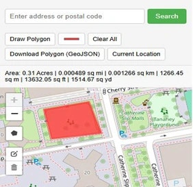
Land Area Calculator Map - Acreage Calculator Free Tool
2025 · onlinemapmaker.com · its alternatives →
- 3

area calculator on map includes perimeter, field, distance
2020 · play.google.com · its alternatives →
- 4

- 5
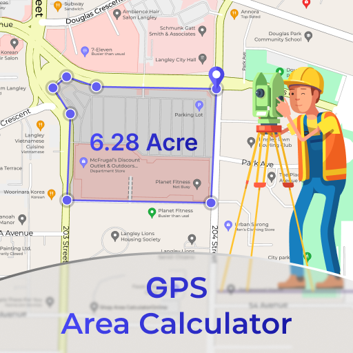
calculate land area with GPS Land Field Area Calculator
2023 · play.google.com · its alternatives →
- 6
Measure any land area by just walking the boundary
May 2026 · play.google.com · its alternatives →
- 7

Analyze any real estate investment in seconds
2022 · propertycalculator.co · its alternatives →
- 8

13,626 properties measured against USGS PAD-US, from 695,439 active listings across 49 regions. Every claim is measured from parcel boundaries.
8d ago · unfenced.land · its alternatives →
- 9

Instantly calculate area & project costs for free
Jul 2026 · squarefeetcalculator.me · its alternatives →
- 10
 Perimeter▲143
AR based measuring app for iOS to create PDF blueprints
2024 · perimeter-app.com · its alternatives →
- 11

Calculate area & material cost — 7 shapes, free, no signup
Jul 2026 · squarefootagecalculator.online · its alternatives →
- 12

Calculate the area in square feet for any given space
2023 · chromewebstore.google.com · its alternatives →
- 13
Land Map Measuring Plugin Makes Quotes Fast Easy & Efficient
2025 · triplepdigital.com · its alternatives →
- 14

The fastest online property title search for India
2022 · landeed.com · its alternatives →
- 15

Calculate distance and area on tap with great accuracy.
2017 · geomeasure.in · its alternatives →
- 16

Field perimeter, Tool KML, KMZ
Jun 2026 · apps.apple.com · its alternatives →
- 17

Multiple tools for farming simulator 22 game
2022 · farmingsimulator.app · its alternatives →
- 18

Your landscape material calculator. No math required.
2024 · its alternatives →
- 19

- 20

I wrote a tool in Python that finds the school district associated with any given street address in the United States. Here’s how it works: An address corresponds to a single point on the map. The U.S Census Bureau has a geocoder that converts an address to latitude and longitude coordinates. School district boundaries can be represented as polygons on the map. The National Center for Education Statistics (NECS) has geographic data on school district boundaries. Once we determine which polygon the point resides in, we know the school district.
2024 · github.com · its alternatives →
- 21
- 22

Free Square Foot Calculator
May 2026 · squarefootcalculator.org · its alternatives →
- 23

- 24

Convert bigha, acre, hectare & more | landunitconverter.com
2025 · landunitconverter.com · its alternatives →
Also compare
Ranked by how close each launch is in meaning, then by votes. Prices were read from each product’s own site when checked and can change. Refine with your own description →