Life & fun · alternatives · 2026

24 alternatives to Map Calculator
Free map tools: distance, area, radius & coordinates
Below are 24 products that do a similar job, ranked by how close each is in meaning and then by launch-day votes.
- 1

The quickest and easiest territory mapping software that you ever used. Trusted by more than 1000 customers for data-driven decisions
2018 · oalley.net · its alternatives →
- 2

- 3

Calculate distance and area on tap with great accuracy.
2017 · geomeasure.in · its alternatives →
- 4

- 5

Measure Distances and Areas with Ease - Anywhere, Anytime
2024 · apps.apple.com · its alternatives →
- 6
- 7
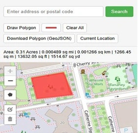
Land Area Calculator Map - Acreage Calculator Free Tool
2025 · onlinemapmaker.com · its alternatives →
- 8

Measuring distance and area in Google Earth
2018 · earth.google.com · its alternatives →
- 9
- 10

area calculator on map includes perimeter, field, distance
2020 · play.google.com · its alternatives →
- 11

Radius Map, Draw circle, GIS, Mapping, geoJSON, GIS Map
2025 · maplity.com · its alternatives →
- 12
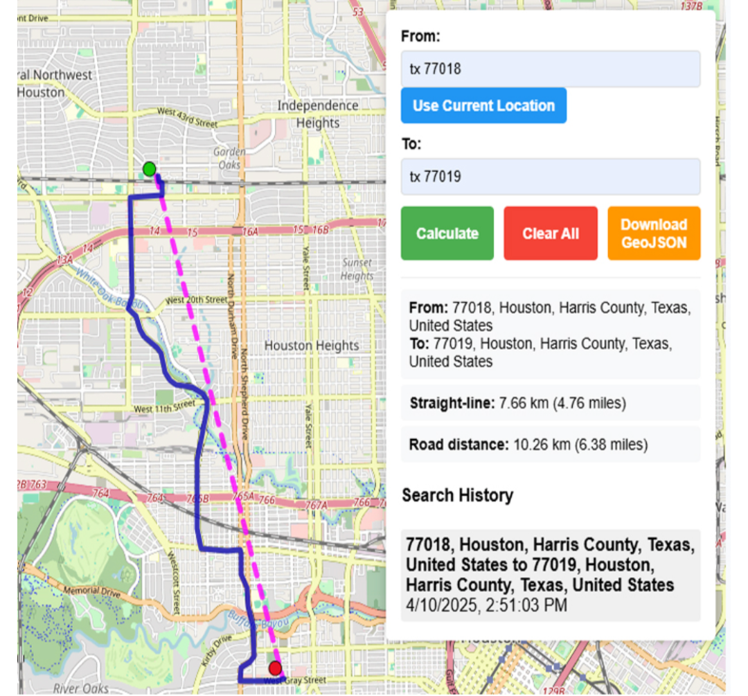
freemaptools, gis, web map, mapping, build maps, geodata
2025 · onlinemapmaker.com · its alternatives →
- 13GM
2022 · shadowcalculator.eu · its alternatives →
- 14
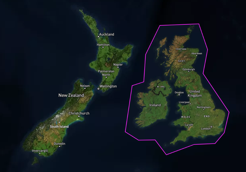 Scale-a-Tron▲74
Draw a shape on a map, and compare with other areas.
2021 · stamen.github.io · its alternatives →
- 15IE
2017 · mjmdavis.com · its alternatives →
- 16

Find distances quickly with the Distance Calculator.
Aug 2026 · geteasetools.com · its alternatives →
- 17

- 18

Easy to use, useful app for an area, distance management.
2020 · play.google.com · its alternatives →
- 19

Beautifully simple distance calculator for any city
Jan 2026 · citydistance.io · its alternatives →
- 20

- 21

A collection of useful calculators for various purposes
2025 · calculation-hub.com · its alternatives →
- 22

Hey HN, jvaclavik here from OpenClimbing team! We are thrilled to release version 2.0 of our fully opensource/opendata climbing guide. Based on OpenStreetMap for map-data and Wikimedia Commons for images, we created a (hopefully) user-friendly app which completely uses these open databases, thus contributing data back to commons. We designed a simple and powerful notation for drawing climbing routes directly over the Wikimedia pictures: - https://wiki.openstreetmap.org/wiki/Key:wikimedia_commons:pa... Check out the release article for a ton of new features, or go…
2014 · openstreetmap.org · its alternatives →
- 23

- 24

Also compare
Ranked by how close each launch is in meaning, then by votes. Prices were read from each product’s own site when checked and can change. Refine with your own description →