Life & fun · alternatives · 2026
24 alternatives to Map showing which notable people were born in your backyard
This tool displays a map highlighting the birthplaces of notable people connected to your location. Users input their address or coordinates, and the application identifies famous individuals born in that area… Below are 24 products that do a similar job, ranked by how close each is in meaning and then by launch-day votes. Prices are shown for the 1 we have checked on their own sites, 1 of them free or with a free tier.
- 1

How well do you know your area? Test your knowledge by locating streets on a map.
2022 · backofyourhand.com · its alternatives →
- 2
 Hoodmaps▲792
Crowdsourced neighborhood 🗺 maps to navigate a city 💫
2017 · hoodmaps.com · its alternatives →
- 3
 TimeMap▲325
Interactive Map of History: millions of people, events, maps
2024 · oldmapsonline.org · its alternatives →
- 4
Rediscover all places you've been by exploring your timeline
2017 · google.com · its alternatives →
- 5WI
2013 · gaganpreet.github.io · its alternatives →
- 6
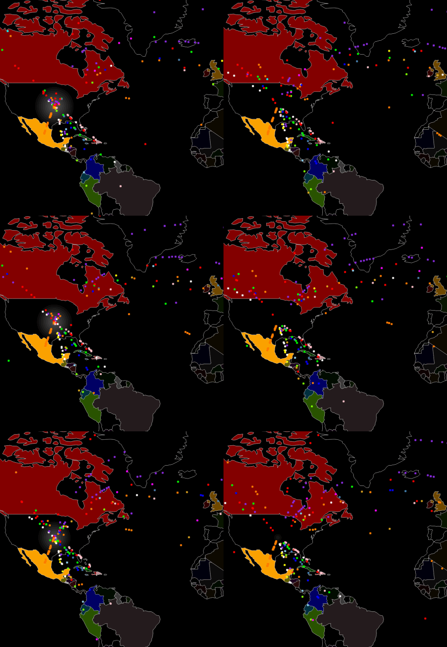
Visualizing who immigrated to the U.S. between 1820 and 2013
2016 · its alternatives →
- 7

Explore social, housing, and economic data across the U.S.
2018 · betterknowyourarea.com · its alternatives →
- 8
 The Almanac▲98
Hi HN, We’ve been building The Almanac, a tool that creates Wikipedia-style articles for any person using their full public online footprint. Unlike Linkedin where people have to maintain their own profile, we automatically crawl the internet for their roles, art, projects, collaborations, publications, media mentions, everything that’s actually documented. You can make a profile for yourself or anyone else by generating it. A few things we focused on: Identity disambiguation: reliably separating people with similar names - this is very tricky and something that GPT/Perplexity gets…
Dec 2025 · thealmanac.ai · its alternatives →
- 9
 #birthhits▲103
Create a Spotify playlist of top songs on your birthday
2018 · birthhits.com · its alternatives →
- 10

For the past few months, I've been working on a website that answers two different questions: - Where in my city have the best travel times to all the things and people I care about? - Given a listing, how far is it from all the things and people I care about? Personally this was fueled by my own frustrations when I was apartment hunting in NYC. I was frustrating to have to juggle so many Google Maps tabs when I was evaluating a listing, and it was also annoying to not have full confidence that I was even searching in the right places. I wanted to be close to work, a Trader Joe's, and a…
2025 · theretowhere.com · its alternatives →
- 11
 Open Census Data▲182
Visualize & download neighborhood demographic Insights
2018 · safegraph.com · its alternatives →
- 12

- 13UM
2016 · cole-maclean.github.io · its alternatives →
- 14
 MakerMapfree▲197
A living map of makers and what they’re building
28d ago · makermap.lol · its alternatives →
- 15
 Transplant.to▲202
An interactive website showing where people are moving & why
2020 · its alternatives →
- 16SC
2015 · statisticalatlas.com · its alternatives →
- 17

- 18
 Pinpoint▲86
See your Twitter friends and followers nearby on a map
2023 · pinpoint.city · its alternatives →
- 19

- 20

- 21

- 22

- 23

I wrote a tool in Python that finds the school district associated with any given street address in the United States. Here’s how it works: An address corresponds to a single point on the map. The U.S Census Bureau has a geocoder that converts an address to latitude and longitude coordinates. School district boundaries can be represented as polygons on the map. The National Center for Education Statistics (NECS) has geographic data on school district boundaries. Once we determine which polygon the point resides in, we know the school district.
2024 · github.com · its alternatives →
- 24GI
Visualize your collected Google Location History data using an interactive heatmap directly in your browser.
2014 · theopolisme.github.io · its alternatives →
Also compare
Ranked by how close each launch is in meaning, then by votes. Prices were read from each product’s own site when checked and can change. Refine with your own description →