Work · alternatives · 2026

24 alternatives to Mapping the most convenient ways to meet someone with public transit
Hello! I built a map that generates a heatmap of the most convenient meeting spots between several people, based on public transit travel times. Move the markers anywhere in the map; all cities with sufficient transit data are supported!
This tool helps groups find optimal meeting locations by analyzing public transit travel times between multiple starting points. Users place markers on a map for each person's location, and the application generates a… Below are 24 products that do a similar job, ranked by how close each is in meaning and then by launch-day votes.
- 1

For the past few months, I've been working on a website that answers two different questions: - Where in my city have the best travel times to all the things and people I care about? - Given a listing, how far is it from all the things and people I care about? Personally this was fueled by my own frustrations when I was apartment hunting in NYC. I was frustrating to have to juggle so many Google Maps tabs when I was evaluating a listing, and it was also annoying to not have full confidence that I was even searching in the right places. I wanted to be close to work, a Trader Joe's, and a…
2025 · theretowhere.com · its alternatives →
- 2

This was something I built while trying to look for housing in Toronto that was decently transit-accessible to my office while still cheap. The backend is written in Rust. It parses public GTFS data from transit agencies and performs a simple heuristics-based BFS on the bus lines to calculate how long to reach all points in a city. The frontend uses React and Mapbox GL to render each individual road segment based on how long it takes to reach. This project was a great excuse to learn Rust, deployments, and mapping. The source code is here if you are interested:…
2023 · map.henryn.xyz · its alternatives →
- 3
- 4

Hello, I was running around Germany, hectically navigating public transportation, and getting lost all the time. I noticed that every station had i platforms, each used lists of n buses (trains, whatever) arriving, each has their list of m destinations. That means I would be scanning i x n x m items just to see if I was at the correct stop. As I was nervous, for every bus that arrived, I would rescan the list of stops to double check. I began thinking how I could make a better system. Linked is a very shoddy mockup of how bloom filters could be used to allow passengers O(1) lookup time for…
2023 · github.com · its alternatives →
- 5
 Location Finder▲188
Find the optimal location to meet with your remote team
2019 · finder.surfoffice.com · its alternatives →
- 6

Analyse visitor peaks of public business in whole areas.
2020 · besttime.app · its alternatives →
- 7TB
I wanted to build a tool to help people decide when and where to travel. As I started building, I realized that "when" and "where" need separate treatment to be most useful. The map tool handles "where" best: https://championtraveler.com/travel-weather-map/ Clicking through each week would be frustrating for those who know where they want to travel but not when. For these people I built "best time to travel" pages using the same data. https://championtraveler.com/best-time-to-travel/ My hope is this site will help travelers plan. This data is taken…
2017 · its alternatives →
- 8

- 9

- 10

See where people click so you can improve your page
2014 · bdow.com · its alternatives →
- 11SH
Over the past week I built a project to let people self-host an entire maps stack so they don't have to send data to the big G. Right now it includes a base map, geocoder and directions server. Currently only bicycle directions are supported, and I'm only hosting tiles for Seattle because I'm unemployed and can't afford to host data for the whole planet. Check it out! https://maps.ellenhp.me/ https://github.com/ellenhp/headway Ultimately I'd like to really focus on transit routing (not implemented) but I'll probably throw a driving mode in there too.
2022 · maps.ellenhp.me · its alternatives →
- 12

View an interactive crime map and stats for San Francisco with Safemap, a completely free tool. Put your safety in your own hands.
2024 · safemap.io · its alternatives →
- 13

- 14UM
2016 · cole-maclean.github.io · its alternatives →
- 15
 Loop▲86
Chicago's best transit app for commuters, students, tourists
2021 · apps.apple.com · its alternatives →
- 16

Turn your spreadsheets into beautiful map visualizations
2024 · postcodeheatmap.com · its alternatives →
- 17

Visualize Google location history data on a heatmap 🗺️
2018 · locationhistoryvisualizer.com · its alternatives →
- 18
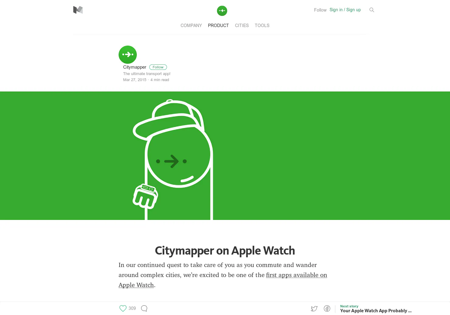
One of the best public transit apps. Now on your wrist
2015 · medium.com · its alternatives →
- 19
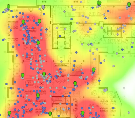
Visualizing your collected Google Location History data
2014 · theopolis.me · its alternatives →
- 20

- 21GI
Visualize your collected Google Location History data using an interactive heatmap directly in your browser.
2014 · theopolisme.github.io · its alternatives →
- 22

- 23
 Busity▲100
Explore Paris 🇫🇷🥖 with the help of the public bus system
2017 · apps.apple.com · its alternatives →
- 24FT
Just enter the locations people will be traveling from. MLC then calculates the location, where the combined aircraft emissions are minimised. Based on data from the European Emissions Agency.
2023 · meetinglocationcalculator.com · its alternatives →
Also compare
Ranked by how close each launch is in meaning, then by votes. Prices were read from each product’s own site when checked and can change. Refine with your own description →