Alternatives
Products that do what Merry Sky, Dark Sky replacement and merry-timeline open source lib does

Hello HN, This is a website I worked on during the holidays to fill the void of the upcoming dark sky shutdown. For me, the precipitation timeline was a view I was heavily relying on for everyday activities and planning. I had not found any replacement from the various weather apps. When I found pirateweather.net as a backend API, it gave me the motivation to put the pieces together and get back the experience I enjoyed. I then added more functionalities that I think was missing from the website such as a weekly chart view. I've been using the website reliably over christmas holidays. Hope…
- 1

- 2TC
For HTML Day 2025 [1], I made a web service that displays the current sky at your approximate location as a CSS gradient. Colours are simulated on-demand using atmospheric absorption and scattering coefficients. Updates every minute, without the use of client-side JavaScript. Source code and additional information is available on GitHub: https://github.com/dnlzro/horizon [1] https://html.energy/html-day/2025/index.html
2025 · sky.dlazaro.ca
- 3BA
The UK MET office recently redesigned their site, adding a lot of additional whitespace, scrolling, and animations. This significantly reduced its usability for me, and left me wanting an ‘at a glance’ weather site. I made https://brolly.sh, a minimalist, plain text weather forecasting site. You can use it to view weather from around the world, with: 7 day forecast; Previous day log (so you can confirm it definitely was cooler / hotter / wetter / drier yesterday!); Hourly rain, wind, temperature, conditions; Hourly UV, air quality and pollen, including pollen type…
Jul 2026 · brolly.sh
- 4

- 5BA
2023 · briefsky.app
- 6
- 7WA
2021 · open-meteo.com
- 8GC
Hello! I'd like share about my sideproject https://gribstream.com It is an API to extract weather forecasting data from the National Blend of Models (NBM) https://vlab.noaa.gov/web/mdl/nbm and the Global Forecast System (GFS) https://www.ncei.noaa.gov/products/weather-climate-models/gl... . The data is freely available from AWS S3 in grib2 format which can be great but also really hard (and resource intensive) to work with, especially if you want to extract timeseries over long periods of time based on a few coordinates. Being able…
2024 · gribstream.com
- 9XE
Last year I launched a website that allow people to see rainfall statistics that are based on satellite data. Historical rainfall information usually comes from rain gauges, and while these are fantastic there are many parts of the world that don't have many long term gauges, or where that data is hard to access. Satellite data can be an invaluable source of information for those data-scarce areas. The business model is to sell "extreme precipitation" data that can be used for flood modelling. Unfortunately, after a year I still haven't made a single sale. I've tried various ways of…
2023 · xrain.info
- 10
- 11

- 12SN
After reading "During Helene, I Just Wanted a Plain Text Website" on Sparkbox (https://news.ycombinator.com/item?id=46494734) , I built safe-now.live – a text-first emergency info site for USA and Canada. No JavaScript, no images, under 10KB. Pulls live FEMA disasters, NWS alerts, weather, and local resources. This is my first live website ever so looking for critical feedback on the website. Please feel free to look around. https://safe-now.live
Feb 2026 · safe-now.live
- 13

- 14

- 15GD
Over the last year, I've worked on aggregating Groundhog data, including predictions, location, and a cute photo. Welcome to GROUNDHOG-DAY.com: The clean and breathable, machine-readable, all-regional data source for Groundhog Day forecasts. Find your fave groundhog, peruse past predictions, or trek the continent-wide Groundhog Map. Includes enterprise-grade API for corporate use cases.
2023 · groundhog-day.com
- 16GA
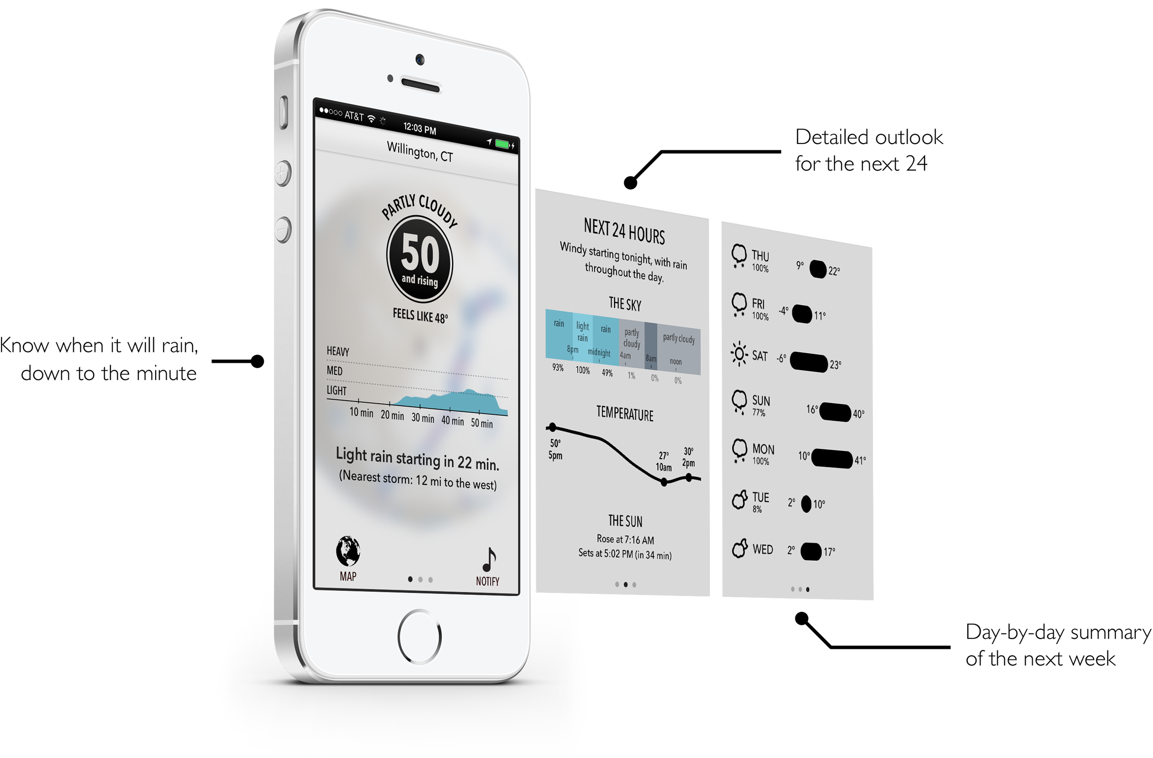
I miss Dark Sky, so I built my own weather app. Here's how GrayCloud works: * Raincast: minute-by-minute rain prediction and accumulation tracking for your exact location * Forecasts: 10 day forecasts use multiple high resolution sources and correct for bias at your location. * Alerts: rain starting, stopping, severe weather, daily summary and more * Widgets: home and lock screen widgets * Multi-platform: apple watch and mac apps I use NOAA and ECMWF models for core weather data and a custom model to compute rain accumulation and the next 60 minute radar movements. I also offer Apple…
Jun 2026 · graycloud.app
- 17MW
As Dark Sky's API will stop working soon I thought I'd suggest a possible replacement. It is well known that most weather APIs just download data from NOAA and "repackage" them to JSON format. This means you will get data only for the nearest grid point which might be a few kilometers away and at a different altitude than your actual location. Meteosource combines more models (GFS, ECMW, UKMO, GEM,...). It compares individual models' performance to historical data and uses machine learning to create a single output. This approach minimises inaccuracies of individual models and feeds a…
2023 · meteosource.com
- 18IB
I built a weather and hurricane tracking site for the Eastern Caribbean islands (https://dewedda.com). PHP, MySQL, Cloudflare, Visual Crossing API, Leaflet.js for maps. The interesting part wasn't the stack. It was realizing how much the interpretation layer matters when you're building for a specific region. Wind descriptions, "feels like" calculations, condition summaries, all tuned for temperate climates by default. I've been reworking them for the Eastern Caribbean audience. Wrote about what I learned: https://hydn.dev/82-degrees-feels-like/
Apr 2026
- 19SW
Basically was getting annoyed jumping between 5 different sites during this winter storm season, so I built "StormWatch". It's a no-fuss, mobile-friendly webpage (dashboard) that shows all the stuff I was looking for, but in one simple UI. Features: - Real-time NWS alerts with safety tips - Snow/ice/precip accumulation forecasts (+wind) - Dynamic preparation checklists based on your alerts - Supply calculator for your household size - Regional weather news It's free, no login required, works on any device. Just enter your ZIP.…
Jan 2026 · jeisey.github.io
- 20WW
I was walking around New York last month during some light rain and noticed about half the people had umbrellas open. When the rain picked up a few minutes later, that number jumped closer to 80%. It got me thinking it'd be cool to track this somehow, so I built a website! I am taking a sidewalk livestream, feeding it into a YOLO model for people tracking, then sending a frame of each detected person to Gemini 2.0 Flash, which returns structured JSON about each person's clothing and if they're holding an umbrella. I also had fun making the site look like a TV weather channel. I showed some…
2025 · walzr.com
- 21

- 22

- 23NR
This is a service I've built to provide equirectangular cloud maps of the whole Earth, updated every 3 hours, for free. It's based on infrared and visible light data from EUMETSAT, processed to enhance the clouds and try to reduce the impact of surface temperatures on the final image. I built it because it's surprisingly hard to find these kinds of images in a format that's useful to developers and hobbyists. I was building a 3D ISS tracker and wanted to include live clouds but couldn't find anything good, so I got sidetracked, and here we are.
2023 · github.com
- 24HN
I love the look of HN on Christmas Day, but I never feel like I get quite enough of it in just one day. To rectify this catastrophic problem, I created a browser extension to give me the Christmas HN experience from the day after Thanksgiving until the first work-day of the new year. I also added a fun "extra festive" mode that enhances the festivity level of the site beyond it's normal look. I love it, but I expect it to be controversial :-D It's pretty easy to `git clone` and install it (instructions for Firefox and Chrome in the README.md). I haven't put it in the extension stores as I…
Dec 2025 · github.com
Ranked by how close each launch is in meaning, then by votes. Refine with a description →