Alternatives
Products that do what PlaceLabels does
The neighborhood truth, straight from locals
- 1AW
For the past few months, I've been working on a website that answers two different questions: - Where in my city have the best travel times to all the things and people I care about? - Given a listing, how far is it from all the things and people I care about? Personally this was fueled by my own frustrations when I was apartment hunting in NYC. I was frustrating to have to juggle so many Google Maps tabs when I was evaluating a listing, and it was also annoying to not have full confidence that I was even searching in the right places. I wanted to be close to work, a Trader Joe's, and a…
2025 · theretowhere.com
- 2AG
2022 · backofyourhand.com
- 3
- 4

- 5

- 6NW
Each dot on the chart is a car. Horizontal scale = mileage. Vertical scale = price. The size of a dot = year (newer = larger), plus I colored 2007 .. 2011 in different colors to find "fresh" cars quicker. This is just some sample data from the last 24 hours, relatively cheap cars under $32,000 within 500 mile radius of NYC.
2011 · olegkikin.com
- 7

- 8

- 9

- 10GC
Hi folks! I'm excited to show you gis.chat, a geospatial chat platform in both senses: a platform about geospatial topics and a geospatial platform itself, referencing the location of our communities. The setup is fairly simple and reproducible: a plain Zulip instance and a homepage with geospatial search capabilities. It seems almost trivial but it has some very nice features. I guess you should be familiar with Zulips stream/topic model to follow along (https://zulip.com/help/streams-and-topics). The core idea is that there are city-specific streams (currently…
2023 · gis.chat
- 11LT
I wrote a tool in Python that finds the school district associated with any given street address in the United States. Here’s how it works: An address corresponds to a single point on the map. The U.S Census Bureau has a geocoder that converts an address to latitude and longitude coordinates. School district boundaries can be represented as polygons on the map. The National Center for Education Statistics (NECS) has geographic data on school district boundaries. Once we determine which polygon the point resides in, we know the school district.
2024 · github.com
- 12SC
2015 · statisticalatlas.com
- 13

- 14

- 15

- 16

- 17OS
Hey there, I'm an OpenStreetMap enthusiast and I was curious what kind of impact the app I am using has (I use StreetComplete[1], an easy-to-use Android app to add missing information). I couldn't find data for all my questions and some were not up to date, but I found a few starting points on how to do it myself[2][3]. Soon I realized that many more interesting questions about OpenStreetMap in general could be answered with the data and I created a website (https://piebro.github.io/openstreetmap-statistics/) to show them. Since I want the data to be up to date, I added a…
2022 · github.com
- 18WD
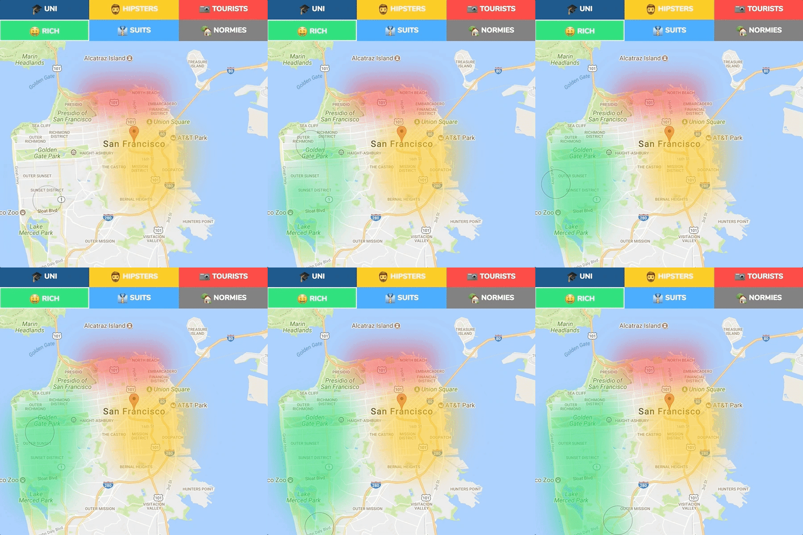
Hi guys, wanted to show my (few) weekends project: http://wherehop.com A free app for you to basically see the best neighbourhoods to live in in many cities around the world. It uses data pulled from various sources to rank the best areas to live. Let me know your thoughts and how it can be improved.
2017
- 19PA
Hi, HN, I'm Roshan and I'm part of the team that's launching the Placekey today at https://placekey.io. It is a free and open universal standard identifier we built so that data pertaining to places can be shared across organizations easily. A Placekey is a short identifier that has Address and POI sections detailing What is at a place and a section describing Where on the globe the place is. Eventually, there will be a Placekey for every place in the world, even those without postal addresses. US geospatial data from a large array of partners…
2020
- 20
- 21RC
Source code / dataset: https://github.com/emeth-/geocities-browser
2022 · randomgeo.city
- 22GA
Hi everyone, We at NetToolKit are launching a new geocoding and map tile service and we would love your help. You can compare the accuracy of our geocoders against several others at https://www.nettoolkit.com/geo/demo and you can find out more about the service at https://www.nettoolkit.com/geo/landing. We’re looking for help primarily in two areas: assessing the accuracy of our geocoder and figuring out what it would take to sign up customers. For the first area, anyone who is familiar with US addresses can help by visiting…
2019
- 23

Free neighborhood data for any US ZIP, no signup needed
Jul 2026 · bluecrabmoving.com
- 24SF
I recently developed a JavaScript library that determines what San Francisco neighborhoods and/or districts someone is in. The application is served from Google App Engine so if no one is using the application the server instances are shut down and your first couple queries might be slow. But after a couple instances are spun up it performs quite well. The example application is just an example so it's not very sophisticated or pretty to look at. For the example to work properly it must run on a device that supports the HTML5 geo location API such as an iPhone. If you get chance take a…
2013
Ranked by how close each launch is in meaning, then by votes. Refine with a description →