Life & fun · alternatives · 2026

24 alternatives to UGScan
UGScan is a 3D scanning app
Below are 24 products that do a similar job, ranked by how close each is in meaning and then by launch-day votes. UGScan launched in 2023; newer entries below may have overtaken it.
- 1
 PhotoScan by Google▲1,219
Photos from the past, meet scanner from the future
2016 · blog.google · its alternatives →
- 2

Turn anything into 3D with your smartphone
2024 · magiscan.app · its alternatives →
- 3

- 4
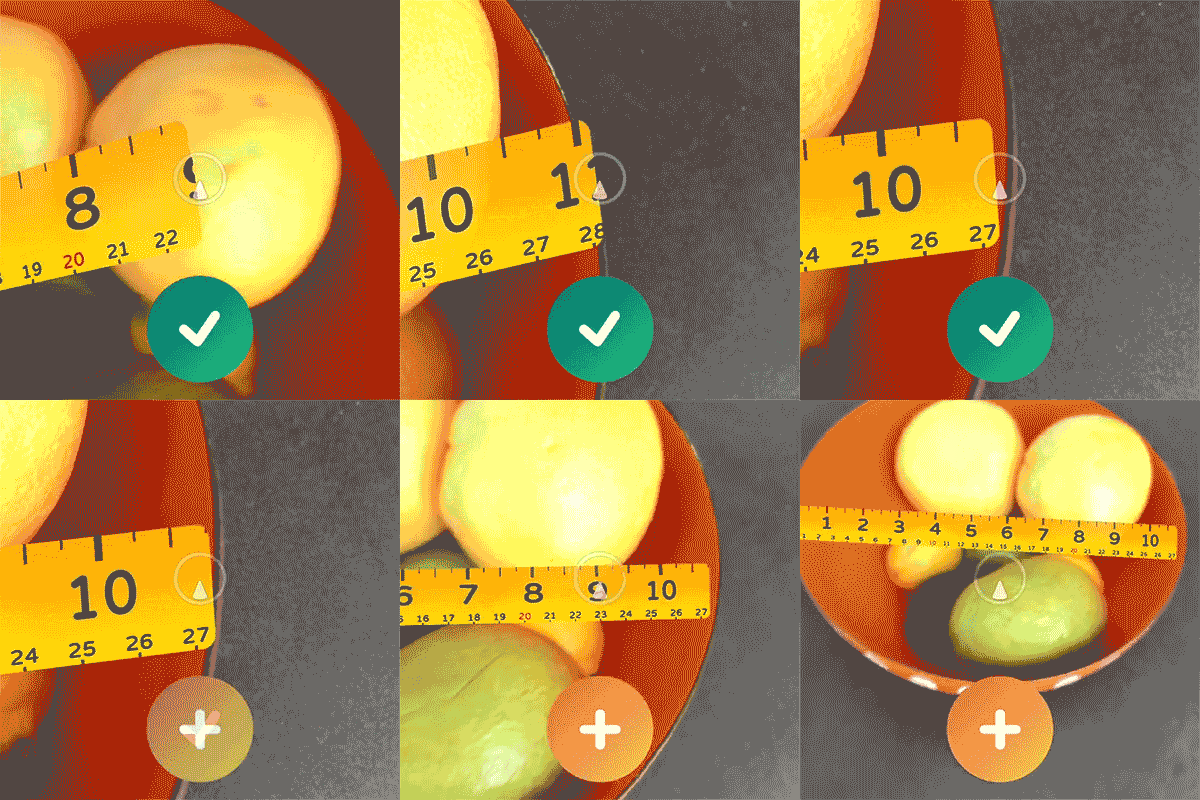
 AirMeasure▲627
The ultimate augmented reality measuring toolkit
2017 · apps.apple.com · its alternatives →
- 53O
2021 · 3dasd.com · its alternatives →
- 6
- 7

Document Scanner that protects your privacy. Contribute to ethereal-developers/OpenScan development by creating an account on GitHub.
2021 · github.com · its alternatives →
- 8

On-device photogrammetry for AR & 3D printing
2023 · apps.apple.com · its alternatives →
- 9

- 10

- 11

- 12

- 13
- 14AR
2018 · tylermw.com · its alternatives →
- 15

- 16

- 17
- 18

Distance detection alarm & off-screen mode
2023 · apps.apple.com · its alternatives →
- 19

Best app to scan the human body with the Structure Sensor
2018 · techmed3d.com · its alternatives →
- 20

I'm working on a GPS track visualizer for quite some time. It shines in hilly and mountaineous terrain (where a 3D view makes more sense), but it also offers quite a lot of Strava-like features (statistics etc.). You can upload your GPX and FIT files manually, or sync directly with Garmin, Coros and Polar. See https://cubetrek.com for the live app and check out some examples there. It's free and opens source. Also, anyone who likes to work with 3D visualizations (especially Babylon.js), let me know if you like to help polish this thing further.
2025 · github.com · its alternatives →
- 21
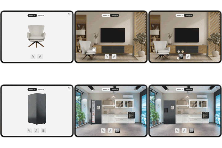 Avataar▲143
Increase sales with 3D and interactive Augmented Reality
2022 · avataar.ai · its alternatives →
- 22

- 23G3
I made a web app to generate 3D models of real places on earth from land cover and elevation data. Click anywhere on the map to get a polygon, and then click "generate". It should work at most scales, but if your watershed or region selection is too large, the result can be less exciting because it's so flat. As a warning, the 3D models can sometimes be too much for my phone. It's nicer on desktop. I'm still working better on mobile support. The land cover data I'm using gives a cool effect, but at some point I'd like to add in global imagery and clouds. The backend is a Python thread…
2025 · topography.jessekv.com · its alternatives →
- 24

Identify plants instantly with magical AR scanning
2022 · greg.app · its alternatives →
Also compare
Ranked by how close each launch is in meaning, then by votes. Prices were read from each product’s own site when checked and can change. Refine with your own description →