
Coronavirus Mapping Project
Our goal is to map the Coronavirus in every county in the US
Coronavirus Mapping Project launched on March 20, 2020 with 5 votes, #1,643 of 4,417 launches that month and more than 50% of that year's launches.
What it does
We're mapping the spead of COVID-19 / Coronavirus one state at a time. We're aggregating public data into a single source and will soon be open sourcing all of the data collected. This is built in webflow, our own data platform, and metabase.
Does a similar job
all alternatives →- C1Covid-19 interactive map for each US county/state based on NYT dataset2020 · covid19usmap.com · ▲31


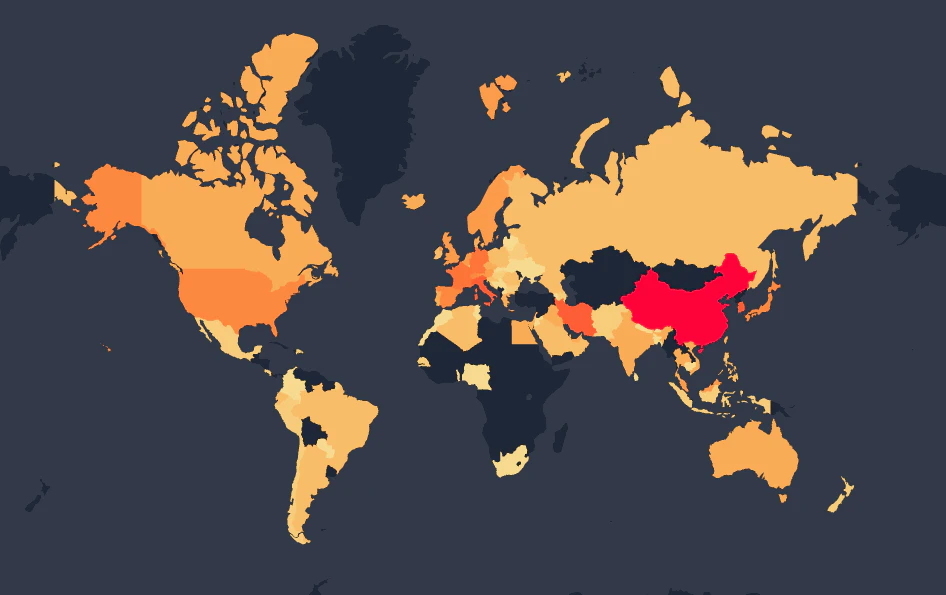 Open Source Covid19 Dashboard2020 · covid19.locale.ai · ▲18
A minimal & easy to use a version of coronavirus tracker
 Routitude 0.5 - COVID-19 Map & Dashboard2020 · routitude.com · ▲19
Coronavirus statistics and travel restrictions by country
 Coronavirus Tracker Map with Live News2020 · coronavirus-traker.ro.aptoide.com · ▲12
Find the the latest news on the infection of the virus
More work this month
the category →

Endless lofi beats composed live in your browser, over pixel-art nights in Paris, Tokyo, New York, Hong Kong, Sydney, San Francisco and more. Free, no sign-up.
Work · 30d ago · loficities.com
 Smooth Recorder▲257
Mac screen recordings that look edited when you hit stop
Work · 24d ago · smoothrecorder.com


Work · 18d ago · readrare.com
Source: Product Hunt launch ↗
Launched alongside, March 2020
the whole month →

 Fraidycat▲807
Life & fun · 2020 · fraidyc.at
 MainStreet▲540
Founders: You're owed $50K. Get it back in 20 minutes 🤝
Commerce · 2020 · mainstreet.com

108 free flat illustrations with customizable characters
Dev tools · 2020 · patterns.page
- TF
Life & fun · 2020 · bingetogether.com