Maps for Excel
geocoding heatmap boundaries dicrections streetview placeid
Maps for Excel launched on September 10, 2024 with 1 votes. The site was still online in September 2026, 2 years on.
What it does
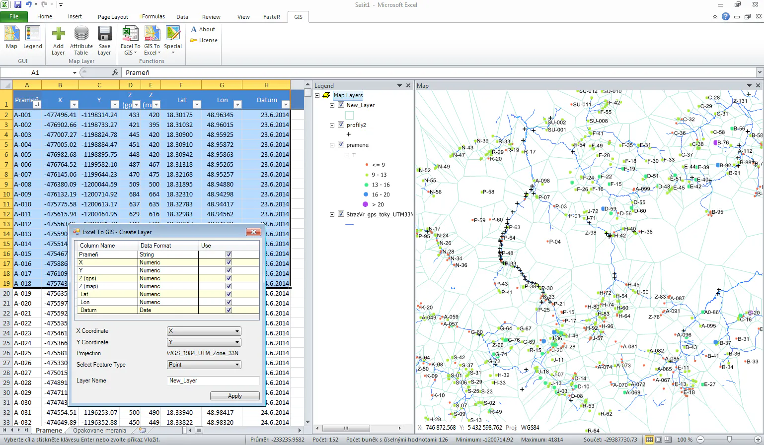
Bring mapping and geocoding to Microsoft Excel: insert heatmap, administrative boundaries, shapes and geo-objects, place photos and street views, download GeoJSON and KML, get address components, find places with details, build routes, show isolines.
Bring mapping capabilities and geocoding to Microsoft Excel: now with search within area, GeoJSON and KML download, administrative boundaries, address components and place photos. Bring mapping capabilities and geocoding to Microsoft Excel: insert static maps with heatmap, administrative
Does a similar job
all alternatives →
 Postcodeheatmap2024 · postcodeheatmap.com · ▲89
Turn your spreadsheets into beautiful map visualizations
 MapHub – A Google My Maps Alternative, Based on OpenStreetMap Data2016 · maphub.net · ▲244
MapHub allows you to create, share and collaborate interactive maps online.
 Maps for Sheets2021 · workspace.google.com · ▲2
Bring mapping capabilities and geocoding to Google Sheets
 Zipcode Heat Map2024 · zipcodeheatmap.com · ▲102
Generate heat maps of US states and counties from zip codes
More work this month
the category →
Endless lofi beats composed live in your browser, over pixel-art nights in Paris, Tokyo, New York, Hong Kong, Sydney, San Francisco and more. Free, no sign-up.
Work · 25d ago · loficities.com
 Smooth Recorder▲257
Mac screen recordings that look edited when you hit stop
Work · 19d ago · smoothrecorder.com


Work · 13d ago · readrare.com
Source: Product Hunt launch ↗
Launched alongside, September 2024
the whole month →

 BeforeSunset AI 2.0▲1,267
Personalized AI daily planning that suits your life
AI · 2024 · beforesunset.ai