Work · alternatives · 2026

24 alternatives to Fuelity
Social maps to find better routes by mixing Bus with Uber!
Below are 24 products that do a similar job, ranked by how close each is in meaning and then by launch-day votes. Fuelity launched in 2018; newer entries below may have overtaken it.
- 1
 Busity▲100
Explore Paris 🇫🇷🥖 with the help of the public bus system
2017 · apps.apple.com · its alternatives →
- 2
 Transit▲123
Real-time transit data and a bot to help you commute
2016 · transitapp.com · its alternatives →
- 3
- 4

- 5

This was something I built while trying to look for housing in Toronto that was decently transit-accessible to my office while still cheap. The backend is written in Rust. It parses public GTFS data from transit agencies and performs a simple heuristics-based BFS on the bus lines to calculate how long to reach all points in a city. The frontend uses React and Mapbox GL to render each individual road segment based on how long it takes to reach. This project was a great excuse to learn Rust, deployments, and mapping. The source code is here if you are interested:…
2023 · map.henryn.xyz · its alternatives →
- 6

- 7
 Mapify on Mobile▲158
A global community of travelers, built by travelers 🗺
2018 · apps.apple.com · its alternatives →
- 8

- 9
 MagicBus▲150
Direct commuter shuttles between cities and suburbs
2016 · magicbus.io · its alternatives →
- 10
 Bestmap▲85
Compare and book scooters, bikes, metro, cars & air tickets
2020 · bestmap.net · its alternatives →
- 11

- 12
 Uber Transit▲167
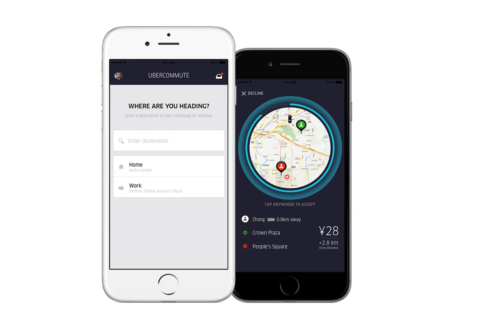
Uber now offers real time data for public transportation
2019 · uber.com · its alternatives →
- 13
 virail▲72
Transport metasearch: trains, flights, buses, car sharing
2018 · virail.com · its alternatives →
- 14

- 15
 Walkable▲165
Safety-first walking navigation to walk the safest routes
Jun 2026 · apps.apple.com · its alternatives →
- 16
- 17

- 18

I made a public transport route planning program that's capable of planning journeys across Europe or North America! There's only one other FOSS project I know of (MOTIS/Transitous) that can do transit routing at this scale, and in the testing I've performed mine is about 50x faster. I've spent a few weeks on this project now and it's getting to the point where I can show it off, but the API responses need a lot of work before they're usable for any downstream application. Example query (Berlin to Barcelona):…
2024 · github.com · its alternatives →
- 19
 UberNeutral▲94
Offset carbon emissions for every Uber you’ve taken
2020 · uberneutral.com · its alternatives →
- 20
 UberFreight▲94
Your lanes. Your schedule. Load up. Cash out.
2017 · apps.apple.com · its alternatives →
- 21

- 22

Hello! I built a map that generates a heatmap of the most convenient meeting spots between several people, based on public transit travel times. Move the markers anywhere in the map; all cities with sufficient transit data are supported!
Mar 2026 · commutometer.com · its alternatives →
- 23
 SimpliRoute▲111
Helping reduce logistic costs and streamline delivery ops
2022 · simpliroute.com · its alternatives →
- 24

Hello, I was running around Germany, hectically navigating public transportation, and getting lost all the time. I noticed that every station had i platforms, each used lists of n buses (trains, whatever) arriving, each has their list of m destinations. That means I would be scanning i x n x m items just to see if I was at the correct stop. As I was nervous, for every bus that arrived, I would rescan the list of stops to double check. I began thinking how I could make a better system. Linked is a very shoddy mockup of how bloom filters could be used to allow passengers O(1) lookup time for…
2023 · github.com · its alternatives →
Also compare
Ranked by how close each launch is in meaning, then by votes. Prices were read from each product’s own site when checked and can change. Refine with your own description →