Life & fun · alternatives · 2026
24 alternatives to Oalley Map
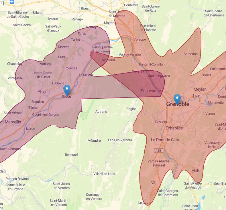
How far you can go for a given time or distance?
Below are 24 products that do a similar job, ranked by how close each is in meaning and then by launch-day votes. Oalley Map launched in 2018; newer entries below may have overtaken it.
- 1

The quickest and easiest territory mapping software that you ever used. Trusted by more than 1000 customers for data-driven decisions
2018 · oalley.net · its alternatives →
- 2

- 3

Rethinking maps based on time to travel
2017 · labs.mapbox.com · its alternatives →
- 4OF
Hi HN! Today I'm launching OpenTimes, a free database of roughly 150 billion pre-computed, point-to-point travel times between United States Census geographies. In addition to letting you visualize travel isochrones on the homepage, OpenTimes also lets you download massive amounts of travel time data for free and with no limits. The primary goal here is to enable research and fill a gap I noticed in the open-source spatial ecosystem. Researchers (social scientists, economists, etc.) use large travel time matrices to quantify things like access to healthcare, but they often end up paying…
2025 · opentimes.org · its alternatives →
- 5

- 6

This was something I built while trying to look for housing in Toronto that was decently transit-accessible to my office while still cheap. The backend is written in Rust. It parses public GTFS data from transit agencies and performs a simple heuristics-based BFS on the bus lines to calculate how long to reach all points in a city. The frontend uses React and Mapbox GL to render each individual road segment based on how long it takes to reach. This project was a great excuse to learn Rust, deployments, and mapping. The source code is here if you are interested:…
2023 · map.henryn.xyz · its alternatives →
- 7LW
Hi HN, I made a web game to practice country locations a while ago and HN liked it, so I thought I'd post my updated version as well. As for how the game works and feels, I'd really recommend you checking it out for yourself, it's free, no signup, no ads. The tech stack is Vue + ts + Tailwind/Daisy for the looks. The learning algorithm is a slight modification of the ts version of FSRS. If you have anything to add, it's open source as well (https://github.com/koljapluemer/learn-worldmap), although not well documented yet. In the end it's just a little sideproject,…
2025 · map.koljapluemer.com · its alternatives →
- 8

- 9DS
2016 · christophercliff.com · its alternatives →
- 10
 Cartographer▲79
Real-time simultaneous localization and mapping library
2016 · github.com · its alternatives →
- 11

- 12

This app was designed to answer my wife’s question “what country would we hit if we went straight” (generally posed while pointing her phone) But with two additional twists: 1. It loads up historical maps from different years (right now 1 BC, 700 AD, 1000 AD, 1300 AD, 1800 AD, 1900 AD) so you can see what you would hit if you had a time machine AND you went in the direction your phone is pointing 2. Tap a country/territory for an (AI-generated) blurb on what you are pointing at How it works: Starting from your phone’s bearing, we trace the great-circle in 200 km steps, prefilter…
2025 · apps.apple.com · its alternatives →
- 13

Now we only need turn-by-turn directions on the Kings Road.
2015 · etsy.com · its alternatives →
- 14

- 15

Hey HN, jvaclavik here from OpenClimbing team! We are thrilled to release version 2.0 of our fully opensource/opendata climbing guide. Based on OpenStreetMap for map-data and Wikimedia Commons for images, we created a (hopefully) user-friendly app which completely uses these open databases, thus contributing data back to commons. We designed a simple and powerful notation for drawing climbing routes directly over the Wikimedia pictures: - https://wiki.openstreetmap.org/wiki/Key:wikimedia_commons:pa... Check out the release article for a ton of new features, or go…
2014 · openstreetmap.org · its alternatives →
- 16DC
2014 · distancecalculator.me · its alternatives →
- 17

See where's reachable within a travel time catchment area
2020 · app.traveltime.com · its alternatives →
- 18

- 19

13M+ places unified: cities, mountains, lakes, airports
Jan 2026 · rapidapi.com · its alternatives →
- 20

- 21GM
Great Circle Map displays the shortest route between airports and calculates the distance. It draws geodesic flight paths on top of Google maps, so you can create your own route map.
2018 · greatcirclemap.com · its alternatives →
- 22YA
A curated collection of authoritative and non-authoritative datasets in a OpenStreetMap-compatible format and data model. For now there is just a draft specification and PoC for Madrid.
2022 · yaom.org · its alternatives →
- 23

Beautifully simple distance calculator for any city
Jan 2026 · citydistance.io · its alternatives →
- 24IM
Hello HN, I made the web app that helps plan your routes/road trips. It has so many options that I don’t know how to explain in simple words :), so I’ll try like this. What is cool about it is that your routes are shareable and hackable. The routes come in the format ie. https://camptarget.com/London,Uk/Vienna,AT/Istanbul,TR/5h:6d, meaning we travel from London via Vienna to Istanbul, driving 5 hours daily while our total time budget would be 6 days. At given breakpoints (after 5 hours) we can explore the nearby locality in radius of some 30-40 miles, for…
2020 · its alternatives →
Also compare
Ranked by how close each launch is in meaning, then by votes. Prices were read from each product’s own site when checked and can change. Refine with your own description →