Life & fun · alternatives · 2026

24 alternatives to 2GIS
Great offline first maps & business listings
Below are 24 products that do a similar job, ranked by how close each is in meaning and then by launch-day votes. 2GIS launched in 2017; newer entries below may have overtaken it.
- 1OO
Hi HN, After 9 years of running my own OpenStreetMap tile server infra for MapHub (https://news.ycombinator.com/item?id=11389989), I've open-sourced it and launched OpenFreeMap. You can either self-host or use our public instance. Everything is open-source, including the full production setup — there’s no 'open-core' model here. Check out the repo (https://github.com/hyperknot/openfreemap). The map data comes from OpenStreetMap. I also provide weekly full planet downloads both in Btrfs and MBTiles formats. I aim to cover the running costs of the public…
2024 · openfreemap.org · its alternatives →
- 2LW
Hi HN, I made a web game to practice country locations a while ago and HN liked it, so I thought I'd post my updated version as well. As for how the game works and feels, I'd really recommend you checking it out for yourself, it's free, no signup, no ads. The tech stack is Vue + ts + Tailwind/Daisy for the looks. The learning algorithm is a slight modification of the ts version of FSRS. If you have anything to add, it's open source as well (https://github.com/koljapluemer/learn-worldmap), although not well documented yet. In the end it's just a little sideproject,…
2025 · map.koljapluemer.com · its alternatives →
- 3

MapHub allows you to create, share and collaborate interactive maps online.
2016 · maphub.net · its alternatives →
- 4

The worlds first local fashion and lifestyle search engine
2017 · itsonamap.com · its alternatives →
- 5
- 6
- 7

If React, Vue, Angular, Bootstrap or Tailwind were countries
2022 · 4it.bz · its alternatives →
- 8
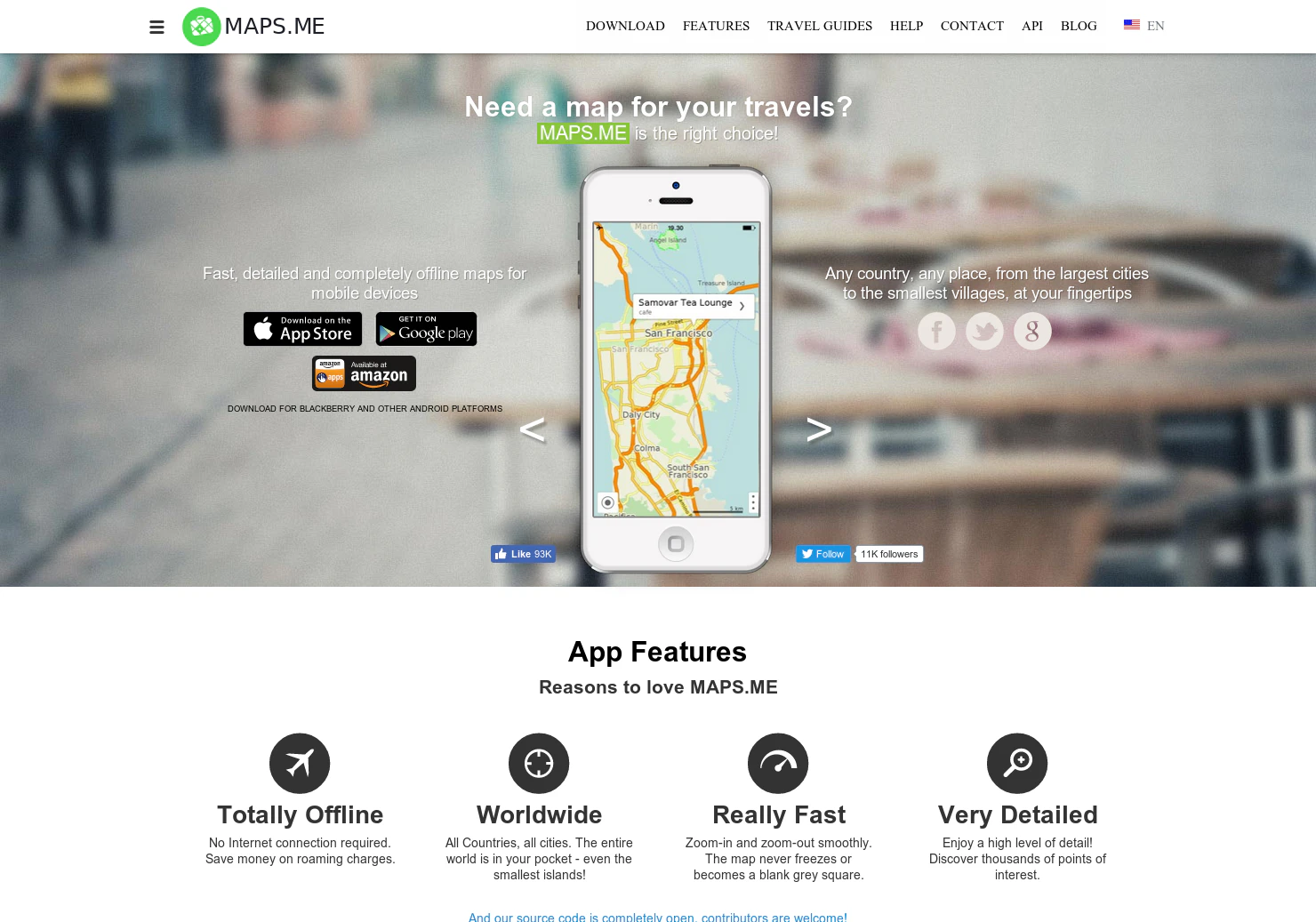 Maps.me▲84
Fast, detailed & completely offline maps for mobile devices.
2015 · maps.me · its alternatives →
- 9
 FATMAP▲88
Global 3D map and adventure guidebook for the outdoors!
2018 · strava.com · its alternatives →
- 10
 MapScroll▲109
Hi HN, I built this after getting frustrated trying to map out things like “Ancient mayan ruins” or “James Bond movie locations” on Google "My" Maps. You basically have to drop pins manually, hunt down photos, copy links, it’s slow and never feels like an actual story. With MapScroll, you just type something like “Marco Polo’s route” or “forgotten WWII sites in France”, and it geocodes, grabs images + articles, and plots everything into a shareable story map. Each marker comes with a little gallery and sources tied to your prompt. You can also refine the first draft which AI creates before…
2025 · mapscroll.ai · its alternatives →
- 11

- 12

Hey HN, jvaclavik here from OpenClimbing team! We are thrilled to release version 2.0 of our fully opensource/opendata climbing guide. Based on OpenStreetMap for map-data and Wikimedia Commons for images, we created a (hopefully) user-friendly app which completely uses these open databases, thus contributing data back to commons. We designed a simple and powerful notation for drawing climbing routes directly over the Wikimedia pictures: - https://wiki.openstreetmap.org/wiki/Key:wikimedia_commons:pa... Check out the release article for a ton of new features, or go…
2014 · openstreetmap.org · its alternatives →
- 13

Maps, geocoding, search, routing, and navigation APIs built on transparent pricing and privacy-first infrastructure.
2018 · stadiamaps.com · its alternatives →
- 14

Hi HN, I built an OSINT tool called Weather2Geo that helps locate where a screenshot was taken based on the weather widget data visible (e.g. temp, condition, and local time in the taskbar). People often post these without realizing how specific those values can be in combination. It works by comparing the given weather condition, temperature, and time against current data from thousands of cities. It’s timezone-aware, supports fuzzy matching, and groups results geographically to reduce noise. It’s most effective on recent screenshots, ideally taken within the last hour—since weather and…
2025 · github.com · its alternatives →
- 15
New maps product that also works offline and has cool x-ray
2015 · urbanengines.com · its alternatives →
- 16
 EZ Map▲93
The easiest way to generate Google Maps for your own sites.
2016 · ezmap.co · its alternatives →
- 17

- 18

Hi HN, I built *Sightline*, a Shodan-style search engine for *physical-world infrastructure*. Shodan makes it easy to explore exposed internet services. Sightline applies the same idea to the real world, using OpenStreetMap as the data source. You can search things like: * “telecom towers in karnataka” * “power plants near mumbai” * “data centers in paris france” or use structured queries: * `type:telecom operator:airtel region:karnataka` * `type:data_center operator:google` Sightline: * uses Overpass API for querying OSM features * uses Nominatim for resolving countries, regions, and cities…
Jan 2026 · github.com · its alternatives →
- 19

- 20

OpenSource game with Google Map StreetView
2022 · geoguess.games · its alternatives →
- 21

Design and host maps with OpenStreetMap vector tiles and open-source tools. Maps are compatible with Leaflet, MapLibre GL SDKs, GIS, WMTS/WMS, XYZ map tiles, etc.
2015 · osm2vectortiles.org · its alternatives →
- 22

This is a service I've built to provide equirectangular cloud maps of the whole Earth, updated every 3 hours, for free. It's based on infrared and visible light data from EUMETSAT, processed to enhance the clouds and try to reduce the impact of surface temperatures on the final image. I built it because it's surprisingly hard to find these kinds of images in a format that's useful to developers and hobbyists. I was building a 3D ISS tracker and wanted to include live clouds but couldn't find anything good, so I got sidetracked, and here we are.
2023 · github.com · its alternatives →
- 23IM
Hi HN, I built a little tool to help me get better at remembering country locations on the map: https://learn-worldmap.netlify.app/ It's made from plain HTML/CSS/JS, and not intended to make any money or anything. Just thought that maybe someone else may enjoy it. Also of course happy about any feedback! Cheerz.
2023 · learn-worldmap.netlify.app · its alternatives →
- 24AO
I've recently been working with real-time geoJSON data at a rate of 50+ queries per second. SaaS solutions can be prohibitively expensive at this rate, thus, I created go-reverse-geo. Data is pulled from geonames.org and is stored in MongoDB (a requirement of my current project). It is very much a work-in-progress (I wrote it this morning). Hope someone finds it useful. https://paranoia.dev/vivi/go-reverse-geo
2020 · its alternatives →
Also compare
Ranked by how close each launch is in meaning, then by votes. Prices were read from each product’s own site when checked and can change. Refine with your own description →