Life & fun · alternatives · 2026

24 alternatives to OpenStreetView
A free and open platform for street level imagery.
Below are 24 products that do a similar job, ranked by how close each is in meaning and then by launch-day votes. OpenStreetView launched in 2016; newer entries below may have overtaken it.
- 1

I've been working on this project for about 4 years. It began as terrain only because world wide elevation data was publicly available. I then added buildings from OpenStreetMap (crowd sourced) and more recently from Overture Maps data. Some computer vision/machine learning advancements [1] in the past few years have made it possible to estimate tree canopy heights using satellite imagery alone making it possible to finally add trees to the map. The data isn't perfect, but it's within +/- 3 meters of so. Good enough to give a general idea for any location on Earth. Happy to answer…
2024 · shademap.app · its alternatives →
- 2OO
Hi HN, After 9 years of running my own OpenStreetMap tile server infra for MapHub (https://news.ycombinator.com/item?id=11389989), I've open-sourced it and launched OpenFreeMap. You can either self-host or use our public instance. Everything is open-source, including the full production setup — there’s no 'open-core' model here. Check out the repo (https://github.com/hyperknot/openfreemap). The map data comes from OpenStreetMap. I also provide weekly full planet downloads both in Btrfs and MBTiles formats. I aim to cover the running costs of the public…
2024 · openfreemap.org · its alternatives →
- 3

Instantly see a Google Street View of any supported location. Easily share and save your favourite views.
2012 · qsview.com · its alternatives →
- 4

RandomStreetView.com shows random streetview images from around the world. An extraordinarily addictive and fun site.
2014 · randomstreetview.com · its alternatives →
- 5

- 6

- 7
 Stamen Maps▲111
Turn any OpenStreetMap location into a watercolor painting
2015 · maps.stamen.com · its alternatives →
- 8

Hey HN, jvaclavik here from OpenClimbing team! We are thrilled to release version 2.0 of our fully opensource/opendata climbing guide. Based on OpenStreetMap for map-data and Wikimedia Commons for images, we created a (hopefully) user-friendly app which completely uses these open databases, thus contributing data back to commons. We designed a simple and powerful notation for drawing climbing routes directly over the Wikimedia pictures: - https://wiki.openstreetmap.org/wiki/Key:wikimedia_commons:pa... Check out the release article for a ton of new features, or go…
2014 · openstreetmap.org · its alternatives →
- 9

Flexible tool to build planet-scale vector tilesets from OpenStreetMap data fast - onthegomap/planetiler
2021 · github.com · its alternatives →
- 10SV
2020 · callumprentice.github.io · its alternatives →
- 11
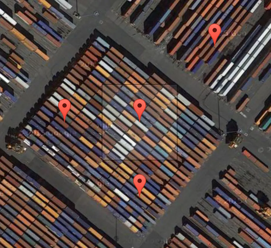 Terrapattern▲77
A visual search tool for satellite imagery
2016 · terrapattern.com · its alternatives →
- 12
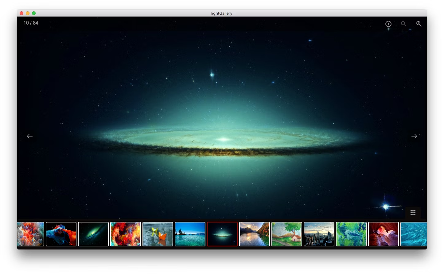 lightgallery▲146
A modern image viewer for Mac, Windows and Linux.
2016 · sachinchoolur.github.io · its alternatives →
- 13

An app that creates aerial imagery (Kickstarter).
2014 · kickstarter.com · its alternatives →
- 14
 Monochōme▲69
Custom map-based clothing from OpenStreetMap data
2014 · monochome.com · its alternatives →
- 15

- 16

We built Maptoolkit.org - a free, production-grade vector maps service built on OpenStreetMap and MapLibre. Map rendering and tile hosting have historically been either expensive (Google, Mapbox) or complex to maintain yourself. (Plus: Their maps are car-focused.) Our maps feature max data zoom 15, global hill-shading, 3D terrain, contour lines, water depths, and specialized styles (like Hiking, Cycling, Winter). No sign up or API keys required. You can use it like this: ``` const map = new maplibregl.Map({ container: 'map', style: 'https://styles.maptoolkit.org/summer.json',…
Jul 2026 · maptoolkit.org · its alternatives →
- 17
- 18S
- 19

- 20

Fast and easy street viewing - Google Maps & Streetview at its best. Formerly know as mapstreetview.com.
2015 · mapstreetview.com · its alternatives →
- 21
 OpenPaths▲62
A secure data locker for personal location information
2014 · openpaths.cc · its alternatives →
- 22MB
2025 · maps-black.github.io · its alternatives →
- 23AW
2020 · pietervdvn.github.io · its alternatives →
- 24

Cartography resources. Contribute to GuildMasterDev/Cartographer development by creating an account on GitHub.
2025 · github.com · its alternatives →

Also compare
Ranked by how close each launch is in meaning, then by votes. Prices were read from each product’s own site when checked and can change. Refine with your own description →