Life & fun · alternatives · 2026

24 alternatives to Stamen Maps
Turn any OpenStreetMap location into a watercolor painting
Below are 24 products that do a similar job, ranked by how close each is in meaning and then by launch-day votes. Stamen Maps launched in 2015; newer entries below may have overtaken it.
- 1

Flexible tool to build planet-scale vector tilesets from OpenStreetMap data fast - onthegomap/planetiler
2021 · github.com · its alternatives →
- 2

- 3

Design beautiful map interfaces with Google Maps & Mapbox
2017 · codeload.github.com · its alternatives →
- 4

Hey HN, jvaclavik here from OpenClimbing team! We are thrilled to release version 2.0 of our fully opensource/opendata climbing guide. Based on OpenStreetMap for map-data and Wikimedia Commons for images, we created a (hopefully) user-friendly app which completely uses these open databases, thus contributing data back to commons. We designed a simple and powerful notation for drawing climbing routes directly over the Wikimedia pictures: - https://wiki.openstreetmap.org/wiki/Key:wikimedia_commons:pa... Check out the release article for a ton of new features, or go…
2014 · openstreetmap.org · its alternatives →
- 5
- 6
- 7
 Snazzy Maps▲231
Simple & Free To Use Themes for Google Maps
2014 · snazzymaps.com · its alternatives →
- 8
 WMap 2▲91
Create beautiful, custom map wallpapers and backgrounds
2022 · wmap.albemala.me · its alternatives →
- 9
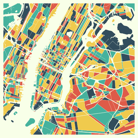 MappyThoughts▲124
Design beautifully colored maps from all around the world.
2018 · its alternatives →
- 10

- 11

- 12
- 13

- 14

- 15
- 16

- 17
 Globestudio▲84
Open-source dotted maps and 3D globes for designers
23d ago · globestudio.app · its alternatives →
- 18
 Monochōme▲69
Custom map-based clothing from OpenStreetMap data
2014 · monochome.com · its alternatives →
- 19

Cartography resources. Contribute to GuildMasterDev/Cartographer development by creating an account on GitHub.
2025 · github.com · its alternatives →
- 20OB
2015 · stappz.com · its alternatives →
- 21

- 22OV
2021 · app.openindoor.io · its alternatives →
- 23

We built Maptoolkit.org - a free, production-grade vector maps service built on OpenStreetMap and MapLibre. Map rendering and tile hosting have historically been either expensive (Google, Mapbox) or complex to maintain yourself. (Plus: Their maps are car-focused.) Our maps feature max data zoom 15, global hill-shading, 3D terrain, contour lines, water depths, and specialized styles (like Hiking, Cycling, Winter). No sign up or API keys required. You can use it like this: ``` const map = new maplibregl.Map({ container: 'map', style: 'https://styles.maptoolkit.org/summer.json',…
Jul 2026 · maptoolkit.org · its alternatives →
- 24

A free and open platform for street level imagery.
2016 · apps.apple.com · its alternatives →

Also compare
Ranked by how close each launch is in meaning, then by votes. Prices were read from each product’s own site when checked and can change. Refine with your own description →