AI · alternatives · 2026

24 alternatives to Satellite imagery and machine learning outputs inline in your terminal
Quickly view satellite imagery, hyperspectral imagery, and machine learning image outputs directly in your iTerm2 terminal. - daleroberts/bv
This tool integrates satellite imagery and machine learning outputs directly into terminal interfaces. It processes geospatial data and AI-generated analysis, displaying results inline for developers and data… Below are 24 products that do a similar job, ranked by how close each is in meaning and then by launch-day votes. Satellite imagery and machine learning outputs inline in your terminal launched in 2016; newer entries below may have overtaken it.
- 1

Satellite imagery for dummies. Contribute to plant99/felicette development by creating an account on GitHub.
2020 · github.com · its alternatives →
- 2

:satellite: Simple and ready-to-use tutorials for TensorFlow - GitHub - instillai/TensorFlow-Course: :satellite: Simple and ready-to-use tutorials for TensorFlow
2018 · github.com · its alternatives →
- 3

An awesome iTerm2 backend for Matplotlib, so you can plot directly in your terminal. - daleroberts/itermplot
2017 · github.com · its alternatives →
- 4

Record terminal sessions as SVG animations. Contribute to nbedos/termtosvg development by creating an account on GitHub.
2018 · github.com · its alternatives →
- 5

Flexible tool to build planet-scale vector tilesets from OpenStreetMap data fast - onthegomap/planetiler
2021 · github.com · its alternatives →
- 6

Quickly view (satellite) imagery directly in your terminal using Unicode 9.0 characters and true color. - daleroberts/tv
2016 · github.com · its alternatives →
- 7
A "virtual satellite" to map Earth in unprecedented detail
2025 · deepmind.google · its alternatives →
- 8

I built a browser-based tool for detecting objects in satellite imagery using vision-language models (VLMs). You draw a polygon on the map and enter a text prompt such as "swimming pools", "oil tanks", or "buses". The system scans the selected area tile-by-tile and returns detections projected back onto the map as GeoJSON. Pipeline: select area and zoom level, split the region into mercantile tiles, run each tile with the prompt through a VLM, convert predicted bounding boxes to geographic coordinates (WGS84), and render the results back on the map. It works reasonably well for distinct…
Mar 2026 · useful-ai-tools.com · its alternatives →
- 9

Accelerating open machine learning research with Cloud TPUs
2017 · sites.research.google · its alternatives →
- 10
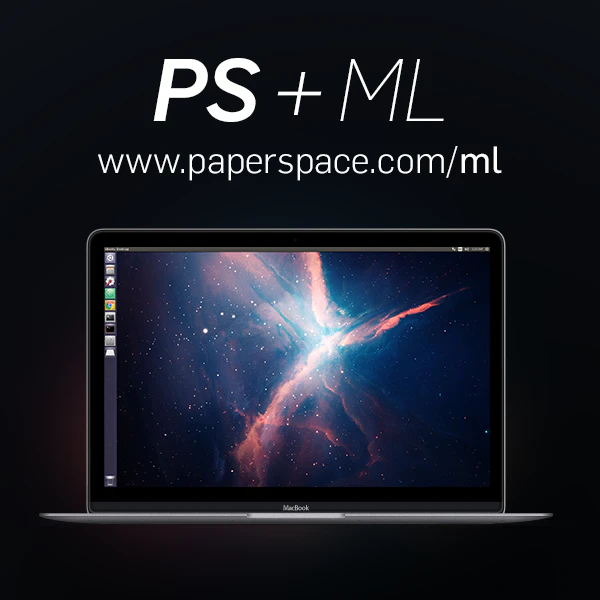
A Linux desktop in the cloud built for Machine Learning
2016 · its alternatives →
- 11MO
Hey HackerNews, Today I'd like to share my open source project, Moonshine! Pretrained vision models are a popular way to reduce how much data you need and to speed up training, but for remote sensing (i.e. aerial, satellite) it can be a challenge to find good weights. Why use Moonshine? 1. Pretrained on multispectral data: Existing popular CV packages are nice to use but are trained on ImageNet or similar, meaning that not only is the domain of the pretraining different, but you may be restricted to only 3 channels. For remote sensing platforms with multispectral data, this might be a…
2023 · moonshineai.readthedocs.io · its alternatives →
- 12
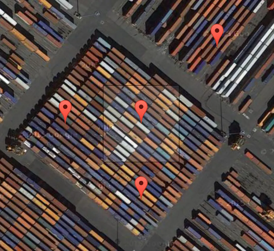 Terrapattern▲77
A visual search tool for satellite imagery
2016 · terrapattern.com · its alternatives →
- 13

Hi HN! I've found this visualization tool immensely helpful over the years for getting an intuition for how an LLM "sees" some piece of text, and with a bit of elbow grease decided to move all compute to client side so I could make it publicly available. I've found it particularly useful for - Understanding exactly how repetition and patterns affect a small LM's ability to predict correctly - Understanding different tokenization patterns and how it affects model output - Getting a general sense of how "hard" different prediction tasks are for GPT-style models Known problems (that I probably…
2023 · perplexity.vercel.app · its alternatives →
- 14

- 15

Hi HN! Ever wish you could just point your AI assistant at your terminal and say 'what's wrong with this output?' That's why I built iterm-mcp. It lets MCP clients like Claude Desktop directly interact with your iTerm2 terminal - reading logs, running commands, using REPLs, and helping debug issues. Want to explore data or debug using a REPL? The AI can start the REPL, run commands, and help interpret the results. This is an MCP server that integrates with Claude Desktop, LibreChat, and other Model Context Protocol compatible clients.…
2025 · github.com · its alternatives →
- 16

cat for images, by RUST
2024 · github.com · its alternatives →
- 17UC
2014 · code.flickr.net · its alternatives →
- 18

Provide an input CSV and a target field to predict, generate a model + code to run it. - minimaxir/automl-gs
2019 · github.com · its alternatives →
- 19

- 20

Data Preparation for Satellite Machine Learning. Contribute to developmentseed/label-maker development by creating an account on GitHub.
2018 · github.com · its alternatives →
- 21

- 22

- 23

Use Mask R-CNN/Keras/TensorFlow and OSM to find features in satellite images for fun. - jremillard/images-to-osm
2018 · github.com · its alternatives →
- 24

Deep Learning Technologies Based GIS Application System
2022 · planetscan.net · its alternatives →
Also compare
- A simple CLI tool to generate satellite images of a location alternatives
- Comprehensive Tutorials in Deep Learning Using TensorFlow alternatives
- Plot directly in your terminal with matplotlib alternatives
- Termtosvg – Record terminal sessions as SVG animations alternatives
- Flatmap – a new tool to make vector tiles from OpenStreetMap data fast alternatives
- Quickly view satellite imagery directly in your terminal alternatives
Ranked by how close each launch is in meaning, then by votes. Prices were read from each product’s own site when checked and can change. Refine with your own description →