Alternatives
Products that do what WorldCanvas does

Paint pixels on a real 3D globe. Zoom out to see Earth.
- 1

- 2
- 3

- 4LP
Took a break from the falling sand simulation blog posts this week to work on another small project. It's a little pixel world generator- each time you visit, you'll see a new little world. I really like this stuff and had a blast building it yesterday!
2022 · jason.today
- 5GA
Google released an API in May to get fetch 3D Tiles of anywhere on Earth. Using this in standard 3D engines like Blender is tricky because (1) the tiles are in a geographic coordinate system (2) you get a lot of little tiles at varying quality levels I wanted to simplify this so all you need to do is get an API key, select a map region and a zoom level, and get one combined glTF file that you can throw into any engine. Especially if you're just prototyping and want to see how this data looks in your engine before investing in figuring out all the nuances of the API & coordinate system. (Note…
2023 · github.com
- 6TA
Apr 2026 · blog.playcanvas.com
- 7
- 8G3
I made a web app to generate 3D models of real places on earth from land cover and elevation data. Click anywhere on the map to get a polygon, and then click "generate". It should work at most scales, but if your watershed or region selection is too large, the result can be less exciting because it's so flat. As a warning, the 3D models can sometimes be too much for my phone. It's nicer on desktop. I'm still working better on mobile support. The land cover data I'm using gives a cool effect, but at some point I'd like to add in global imagery and clouds. The backend is a Python thread…
2025 · topography.jessekv.com
- 9
- 10

- 11

- 12
- 13
- 14

- 15DP
I had this idea where you would see realtime photos on a map, right now this is simply using cat pics, not sure where to take it from here but maybe it's useful to someone. :) GitHub: https://github.com/stagas/worldsnap
2025 · worldsnap.surge.sh
- 16

- 17
- 18IW
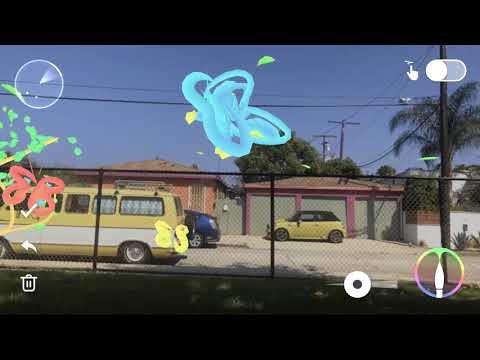
Hey HN, I made a site where you can draw on street-level panoramas. Your drawings persist and other people can see them in real time. Strokes get projected onto the 3D panorama so they wrap around buildings and follow the geometry, not just a flat overlay. Uses WebGL2 for rendering, Mapillary for the street imagery. The idea is for it to become a global canvas, anyone can leave a mark anywhere and others stumble onto it.
Mar 2026 · washere.live
- 19
- 20

- 21
- 22

- 23
- 24MA
Hello HN! I’m excited to share this open-source community mashup showing the power and possibility of combining 3D Gaussian splat scans with traditional mesh-based 3D tiles maps in the browser. As you've probably seen on HN a bunch lately, Gaussian splats are a new method to allow custom 3D scans of scenes and objects [1] and Google Maps 3D Tiles API are the same 3D buildings and street views your familiar with in Google Earth or Google Maps, and recently they’ve been made available for inclusion in web apps. Combining splats + 3d map mixes highly detailed real-world custom micro-scans with…
2024 · maps-and-splats.glitch.me
Ranked by how close each launch is in meaning, then by votes. Refine with a description →