
Hectare.app
GPS backed land surveying for iOS
Hectare.app launched on November 4, 2021 with 3 votes. The site was still online in September 2026, 4 years on.
What it does
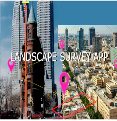
With Hectare.app you can easily survey your land with the iPhone. Just walk along the area and you're done.
GPS Land Surveying with the iPhone
With Hectare.app you can easily survey your land with the iPhone. Just walk along the area and you're done. Some applications require Shape-Files (.shp). To convert GPX-Files to Shape-Files please use the followingfrom hectare-app.com
Does a similar job
all alternatives → Measure Tool in Google Earth2018 · earth.google.com · ▲110
Measuring distance and area in Google Earth



More work this month
the category →
 Smooth Recorder▲257
Mac screen recordings that look edited when you hit stop
Work · 24d ago · smoothrecorder.com


Work · 18d ago · readrare.com
Source: Product Hunt launch ↗
Launched alongside, November 2021
the whole month →
- MW
Life & fun · 2021 · nomdebebe.app

Dev tools · 2021 · apps.apple.com

Eligible startups get Intercom features at a 95% discount
Growth · 2021 · intercom.com

Life & fun · 2021 · jacquesmattheij.com
