Missing Maps
Putting the World's Vulnerable People on the Map
Missing Maps launched on August 21, 2017 with 5 votes. The site was still online in September 2026, 9 years on.
What it does
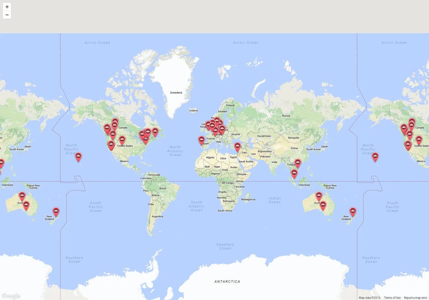
Missing Maps is a project that uses satellite imagery and OpenStreetMap to map areas where disasters and crises affect people.
Remote volunteers trace satellite imagery into OpenStreetMap. Community volunteers add local detail such as neighbourhoods, street names and evacuation centers. Humanitarian organizations and local communities use the maps to plan risk reduction and disaster response. Never mapped before? Don’t worry, it doesn’t take long to learn. The best way is at a mapathon, where volunteers get training and map together. Check the Events Calendar for upcoming Missing Maps events! If you don’t see any events in your language or time, you can still start mapping anytime — visit our Get Involved page and choose a mapping tool. New events are added regularly! Following the confirmation of an Ebola outbreak…from missingmaps.org
Does a similar job
all alternatives → MapSwipe, by Ivan Gayton, Pim de Witte, Sadok Rabadan, Alison Malouf, and Pete Masters2016 · mapswipe.org · ▲90
Map the world's most vulnerable people in your spare time



More life & fun this month
the category →
A free city-building game in your browser. You are the mayor. You know what the city needs. Now get it past the zoning board, the neighbors, the appeals court and the next election.
Life & fun · 1d ago · permit.petercai.com
- IV
Life & fun · 13d ago · tanzaniaeducationproject.org

Turn a phone, tablet or TV into a sign. Type a message and it fills the screen: welcome signs, timers, Wi-Fi passwords and more. No app, no account, free.
Life & fun · 14d ago · bigwords.page

Play a free virtual guitar online with your keyboard or by touch. Slow songs down and see every chord, string and strum. Acoustic, classic, electric and bass.
Life & fun · 8d ago · guitoro.com

Carrier settings from iPhone, Pixel and Galaxy firmware, decoded and compared: APNs, VoLTE, 5G and Wi-Fi Calling per carrier, and what each build changed.
Life & fun · 12d ago · carrierexplode.com

Life & fun · 22d ago · space.bl2.net
Source: Product Hunt launch ↗
Launched alongside, August 2017
the whole month →


APIs to automatically transcribe and understand audio
AI · 2017 · assemblyai.com

The essential guide to product design and design thinking
Work · 2017 · designbetterpodcast.com