Open-source high-res Mars map, in natural colors
Find information, resources and relevant links for mars26.com. This domain may be for sale.
Open-source high-res Mars map, in natural colors launched on April 28, 2021 with 150 votes, #212 of 3,754 launches that month and more than 95% of that year's launches. The site was still online in September 2026, 5 years on.
In plain words
Open-source high-res Mars map is a development tool that provides detailed, natural-color mapping data of Mars. Released in 2021, it serves developers, researchers, and space enthusiasts who need accurate Martian terrain visualization for projects, analysis, or exploration applications. The tool stands out by offering high-resolution imagery in natural colors, making it suitable for scientific work and software development requiring authentic Mars surface representation.
written from the facts on this page · September 2026
Does a similar job
all alternatives →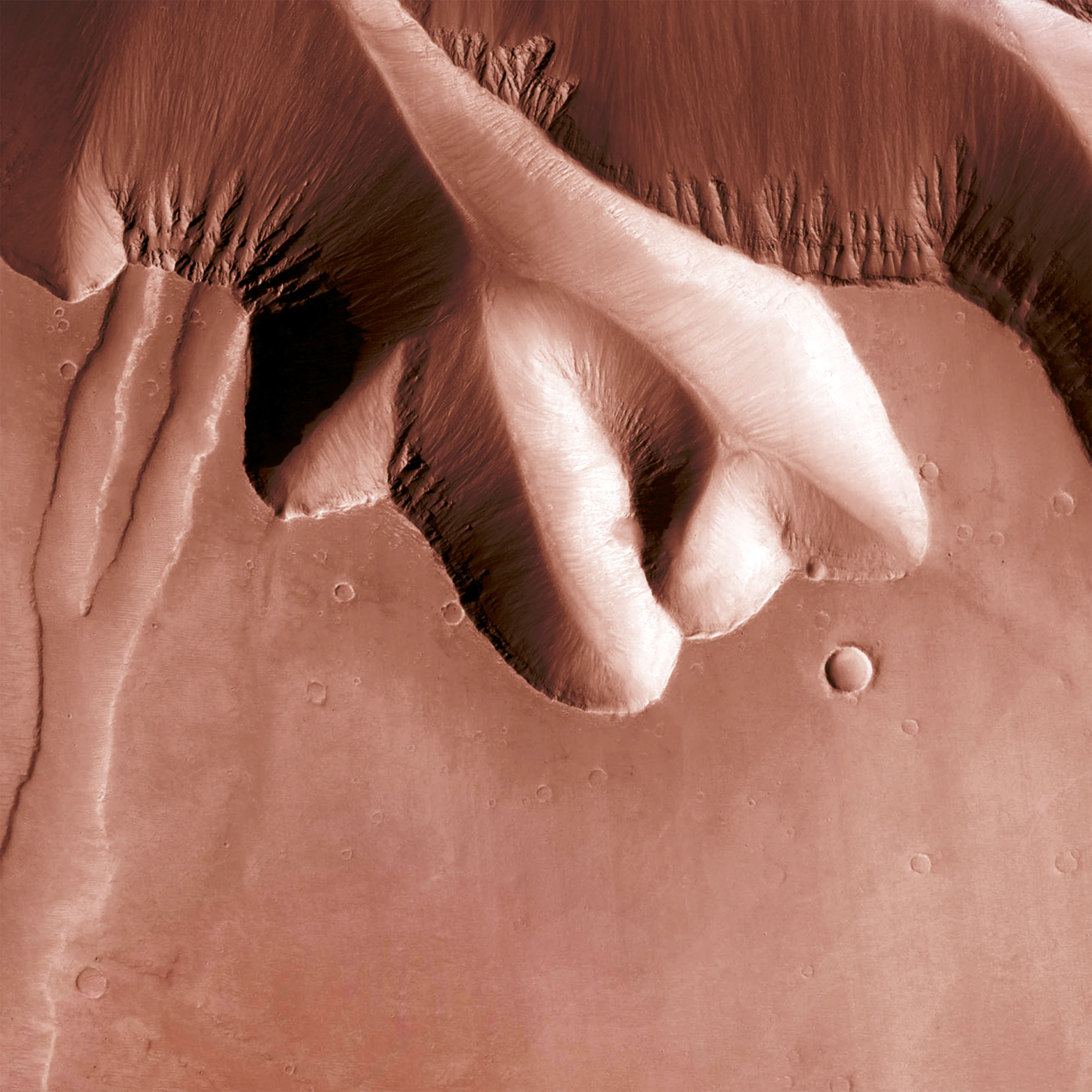
- OOOpenFreeMap – Open-Source Map Hosting2024 · openfreemap.org · ▲848
Hi HN, After 9 years of running my own OpenStreetMap tile server infra for MapHub (https://news.ycombinator.com/item?id=11389989), I've open-sourced it and launched OpenFreeMap. You can either self-host or use our public instance. Everything is open-source, including the full production setup — there’s no 'open-core' model here. Check out the repo (https://github.com/hyperknot/openfreemap). The map data comes from OpenStreetMap. I also provide weekly full planet downloads both in Btrfs and MBTiles formats. I aim to cover the running costs of the public…
 A simple CLI tool to generate satellite images of a location2020 · github.com · ▲303
Satellite imagery for dummies. Contribute to plant99/felicette development by creating an account on GitHub.
 Flatmap – a new tool to make vector tiles from OpenStreetMap data fast2021 · github.com · ▲158
Flexible tool to build planet-scale vector tilesets from OpenStreetMap data fast - onthegomap/planetiler

 High-resolution surface analysis with Lidar data2025 · github.com · ▲66
High-resolution surface analysis with LiDAR data. Contribute to r-follador/delta-relief development by creating an account on GitHub.
More dev tools this month
the category →

open-source IDE for thoughtful software design. Contribute to devdotfast/whiteboard development by creating an account on GitHub.
Dev tools · 27d ago · github.com

Contribute to reladraw/reladraw development by creating an account on GitHub.
Dev tools · 25d ago · github.com
 OpenBot▲362
Grok Bot alternative: free, local, open-source, multiplayer
Dev tools · 22d ago · openbot.run
 Talanoa▲340
Hi HN, I’m a fullstack developer, and honestly, I’ve lost count of how many side projects I’ve worked on over the years. But one idea kept coming back to me: a different kind of email client. It first came to me in 2014: “What if we could handle emails more like conversations?” Every year, I’d revisit this concept in my “Build Notes.” Ten years later, no one had built exactly what I had in mind — so I finally decided to do it myself. That’s how Talanoa was born. I wanted something focused on people, not timelines. I was tired of marking messages as unread just to remember to reply later, or…
Dev tools · 20d ago · talanoa.email
 CoreSpeed▲332
One MCP for everything your agents need: apps, memory, tools
Dev tools · 27d ago · corespeed.io
Source: Show HN post ↗
Launched alongside, April 2021
the whole month →


Build your landing page with these 100+ tools
Growth · 2021 · landingpage.fyi
- PFPDFs from HTML▲742
Life & fun · 2021 · pdf.math.dev