Life & fun · alternatives · 2026
24 alternatives to 1,053,713 buildings in New York City, shaded by year of construction
This interactive map visualizes all 1,053,713 buildings in New York City, with each structure color-coded by its year of construction. Users can explore the city's architectural history by zooming into neighborhoods… Below are 24 products that do a similar job, ranked by how close each is in meaning and then by launch-day votes. 1,053,713 buildings in New York City, shaded by year of construction launched in 2013; newer entries below may have overtaken it.
- 1

An interactive 3D visualization of the all the buildings in Manhattan.
2018 · tbaldw.in · its alternatives →
- 2

Gorgeous maps through the eyes of 75 New Yorkers
2015 · amazon.com · its alternatives →
- 3IN
Hey HN! I wanted to share something I built over the last few weeks: isometric.nyc is a massive isometric pixel art map of NYC, built with nano banana and coding agents. I didn't write a single line of code. Of course no-code doesn't mean no-engineering. This project took a lot more manual labor than I'd hoped! I wrote a deep dive on the workflow and some thoughts about the future of AI coding and creativity: http://cannoneyed.com/projects/isometric-nyc
Jan 2026 · cannoneyed.com · its alternatives →
- 4AM
2014 · projectjefferson.com · its alternatives →
- 5
 World City Icons▲235
An extensive collection of handmade icons of over 160 cities
2017 · behance.net · its alternatives →
- 6

I've been working on this project for about 4 years. It began as terrain only because world wide elevation data was publicly available. I then added buildings from OpenStreetMap (crowd sourced) and more recently from Overture Maps data. Some computer vision/machine learning advancements [1] in the past few years have made it possible to estimate tree canopy heights using satellite imagery alone making it possible to finally add trees to the map. The data isn't perfect, but it's within +/- 3 meters of so. Good enough to give a general idea for any location on Earth. Happy to answer…
2024 · shademap.app · its alternatives →
- 7
 City Kit▲377
Illustrated and animated cities from around the world
2019 · startupmilk.com · its alternatives →
- 81B
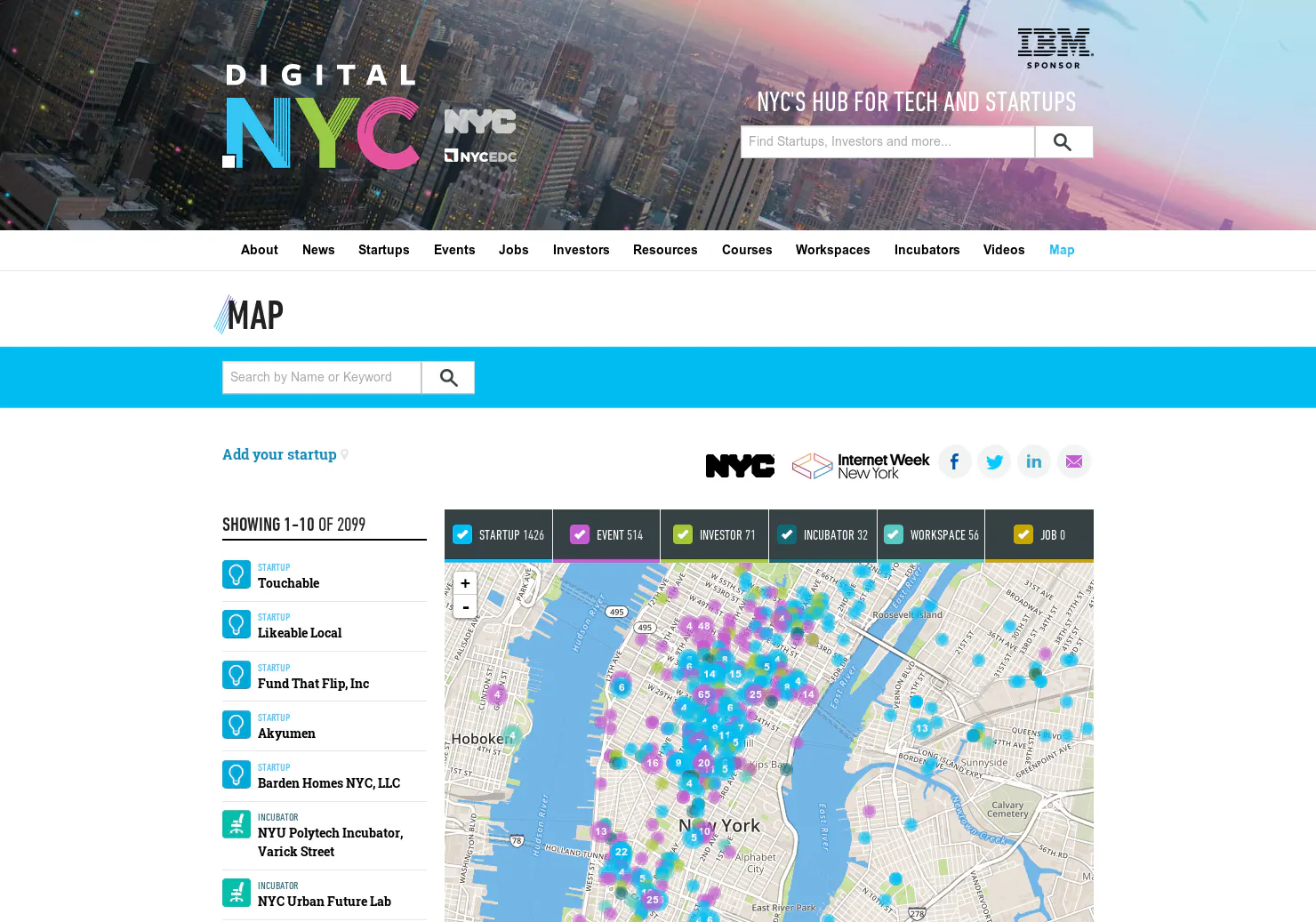
View all construction, remodeling and home improvement projects in the United States. Explore building permit activity in your state, city, and neighborhood.
2015 · buildzoom.com · its alternatives →
- 9
- 10

Discover street art photos found with ML from 170+ countries
2019 · apps.apple.com · its alternatives →
- 11

For the past few months, I've been working on a website that answers two different questions: - Where in my city have the best travel times to all the things and people I care about? - Given a listing, how far is it from all the things and people I care about? Personally this was fueled by my own frustrations when I was apartment hunting in NYC. I was frustrating to have to juggle so many Google Maps tabs when I was evaluating a listing, and it was also annoying to not have full confidence that I was even searching in the right places. I wanted to be close to work, a Trader Joe's, and a…
2025 · theretowhere.com · its alternatives →
- 12

- 13

All you need to know about building In public 🚀
2021 · app.notion.com · its alternatives →
- 14
- 15

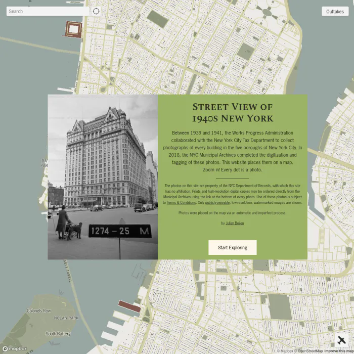
67K+ tems digitized from The NY Public Library's collections
2016 · digitalcollections.nypl.org · its alternatives →
- 16

- 17
 VentureMap NYC▲123
A network visualization of all startup investments in NYC
2017 · its alternatives →
- 18

- 19

- 20

Each dot on the chart is a car. Horizontal scale = mileage. Vertical scale = price. The size of a dot = year (newer = larger), plus I colored 2007 .. 2011 in different colors to find "fresh" cars quicker. This is just some sample data from the last 24 hours, relatively cheap cars under $32,000 within 500 mile radius of NYC.
2011 · olegkikin.com · its alternatives →
- 21

- 22
- 23

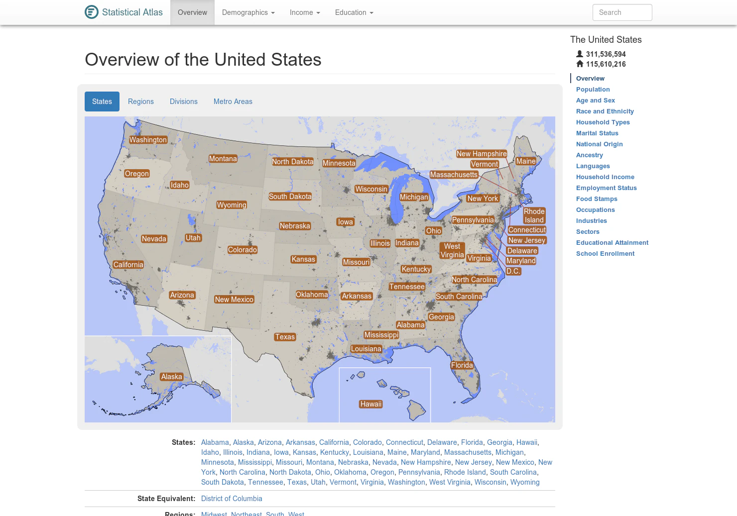
Discover history in any US city
2023 · journal.explorehere.app · its alternatives →
- 24
Also compare
- Interactive WebGL visualization of all 47K buildings in Manhattan alternatives
- Mapping Manhattan alternatives
- isometric.nyc – giant isometric pixel art map of NYC alternatives
- Artistic Maps of Over 4,000 U.S. Cities alternatives
- World City Icons alternatives
- Every mountain, building and tree shadow mapped for any date and time alternatives
Ranked by how close each launch is in meaning, then by votes. Prices were read from each product’s own site when checked and can change. Refine with your own description →