Life & fun · alternatives · 2026
24 alternatives to Artistic Maps of Over 4,000 U.S. Cities
Artistic Maps of Over 4,000 U.S. Cities is a collection of stylized maps covering thousands of American municipalities. Created for people interested in geography and visual representations of cities, the site offers… Below are 24 products that do a similar job, ranked by how close each is in meaning and then by launch-day votes. Artistic Maps of Over 4,000 U.S. Cities launched in 2014; newer entries below may have overtaken it.
- 1IN
Hey HN! I wanted to share something I built over the last few weeks: isometric.nyc is a massive isometric pixel art map of NYC, built with nano banana and coding agents. I didn't write a single line of code. Of course no-code doesn't mean no-engineering. This project took a lot more manual labor than I'd hoped! I wrote a deep dive on the workflow and some thoughts about the future of AI coding and creativity: http://cannoneyed.com/projects/isometric-nyc
Jan 2026 · cannoneyed.com · its alternatives →
- 2
 World City Icons▲235
An extensive collection of handmade icons of over 160 cities
2017 · behance.net · its alternatives →
- 3
 City Kit▲377
Illustrated and animated cities from around the world
2019 · startupmilk.com · its alternatives →
- 4

Discover street art photos found with ML from 170+ countries
2019 · apps.apple.com · its alternatives →
- 5
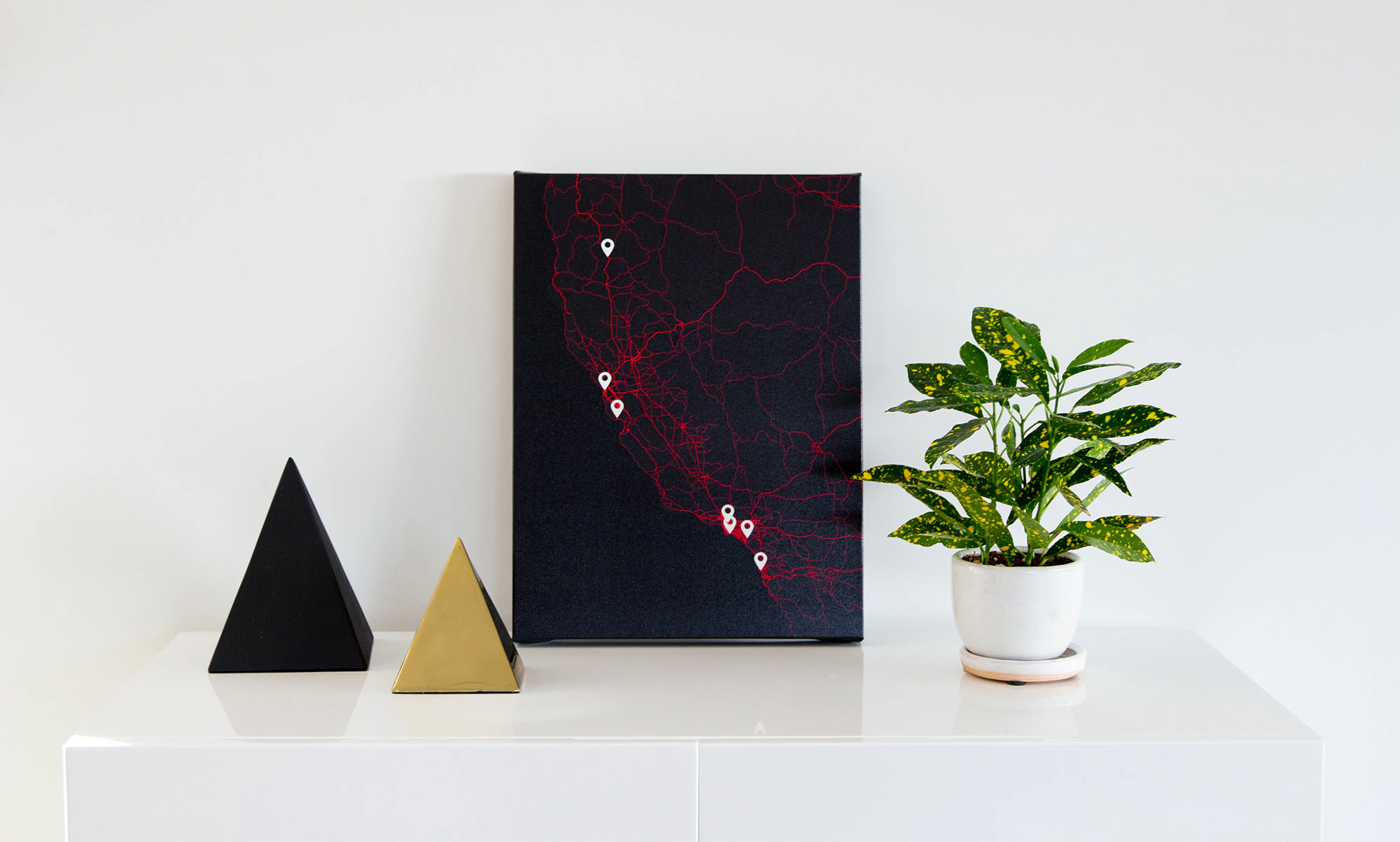
- 6

An interactive 3D visualization of the all the buildings in Manhattan.
2018 · tbaldw.in · its alternatives →
- 7

- 8
- 910
- 10
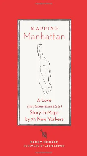
Gorgeous maps through the eyes of 75 New Yorkers
2015 · amazon.com · its alternatives →
- 11

- 12

San Francisco as one giant isometric pixel painting — the city
Aug 2026 · sf.isopolis.city · its alternatives →
- 13

A free collection of maps for every country in the world, available in 11 sizes or in SVG. - djaiss/mapsicon
2013 · github.com · its alternatives →
- 14

Design beautiful map interfaces with Google Maps & Mapbox
2017 · codeload.github.com · its alternatives →
- 15

- 16

Creative library of 1,200 consistent illustrations ✨
2022 · getillustrations.com · its alternatives →
- 17

For the past few months, I've been working on a website that answers two different questions: - Where in my city have the best travel times to all the things and people I care about? - Given a listing, how far is it from all the things and people I care about? Personally this was fueled by my own frustrations when I was apartment hunting in NYC. I was frustrating to have to juggle so many Google Maps tabs when I was evaluating a listing, and it was also annoying to not have full confidence that I was even searching in the right places. I wanted to be close to work, a Trader Joe's, and a…
2025 · theretowhere.com · its alternatives →
- 18

- 19
 Super Map World▲115
Hi HN I’ve been working on Super Map World, a creative mapping platform and just launched a new animation feature. Try it: https://supermap.world/tools/map-animation What it does: The feature lets you animate maps directly in your browser with a few clicks. You can animate routes, regions, or just simply see a globe in your chosen style rotate from point to point. It’s designed for people who want to make short visuals e.g. social clips, or storytelling maps without needing to figure out GIS tools. Under the hood: Everything runs client-side. I'm using d3.js to render the…
2023 · supermap.world · its alternatives →
- 20

- 21

- 22
 City Roads▲227
Open source, visualization of all roads within any city.
2020 · github.com · its alternatives →
- 23

- 24

Coloring book of amazing places real and imagined
2016 · amazon.com · its alternatives →
Also compare
Ranked by how close each launch is in meaning, then by votes. Prices were read from each product’s own site when checked and can change. Refine with your own description →