Life & fun · alternatives · 2026

24 alternatives to A giant pixel map of London
All of Greater London as one isometric pixel-art map. Zoom from the whole city down to single streets, find any place, station or postcode, and share what you find.
Below are 24 products that do a similar job, ranked by how close each is in meaning and then by launch-day votes.
- 1IN
Hey HN! I wanted to share something I built over the last few weeks: isometric.nyc is a massive isometric pixel art map of NYC, built with nano banana and coding agents. I didn't write a single line of code. Of course no-code doesn't mean no-engineering. This project took a lot more manual labor than I'd hoped! I wrote a deep dive on the workflow and some thoughts about the future of AI coding and creativity: http://cannoneyed.com/projects/isometric-nyc
Jan 2026 · cannoneyed.com · its alternatives →
- 2

San Francisco as one giant isometric pixel painting — the city
Aug 2026 · sf.isopolis.city · its alternatives →
- 3SL
Inspired by All Text in NYC (https://alltext.nyc) by Yufeng Zhang I thought I would replicate something similar for London. A searchable tool that lets you explore text captured across Google Street View imagery in London; shop signs, posters, graffiti, van numbers etc
Nov 2025 · london.publicinsights.uk · its alternatives →
- 4

- 5

deck.gl based visualiser of the TFL Api + National Rails to be able to track (with minimal drift) a train along the way in London and to the nearest airports. If you pick one from any platform in https://nexttrain.london basically you can share your train journey along the rails. Build to test Cloudflare workers and their infra along with deck.gl performance that is incredible in my opinion.
Jul 2026 · ride.nexttrain.london · its alternatives →
- 6

Download Vintage London Map & Guide by Wellingtons Travel Co. by LittleQuest Limited Liability Company on the App Store.
2015 · itunes.apple.com · its alternatives →
- 7
 My Holiday Map▲206
Design your own unique poster of your holiday 🗺
2019 · myholidaymap.com · its alternatives →
- 8

An interactive 3D visualization of the all the buildings in Manhattan.
2018 · tbaldw.in · its alternatives →
- 9

- 10MA
Hello HN! I’m excited to share this open-source community mashup showing the power and possibility of combining 3D Gaussian splat scans with traditional mesh-based 3D tiles maps in the browser. As you've probably seen on HN a bunch lately, Gaussian splats are a new method to allow custom 3D scans of scenes and objects [1] and Google Maps 3D Tiles API are the same 3D buildings and street views your familiar with in Google Earth or Google Maps, and recently they’ve been made available for inclusion in web apps. Combining splats + 3d map mixes highly detailed real-world custom micro-scans with…
2024 · maps-and-splats.glitch.me · its alternatives →
- 11

- 12
- 13

- 14
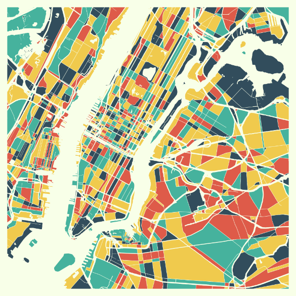 MappyThoughts▲124
Design beautifully colored maps from all around the world.
2018 · its alternatives →
- 15MA
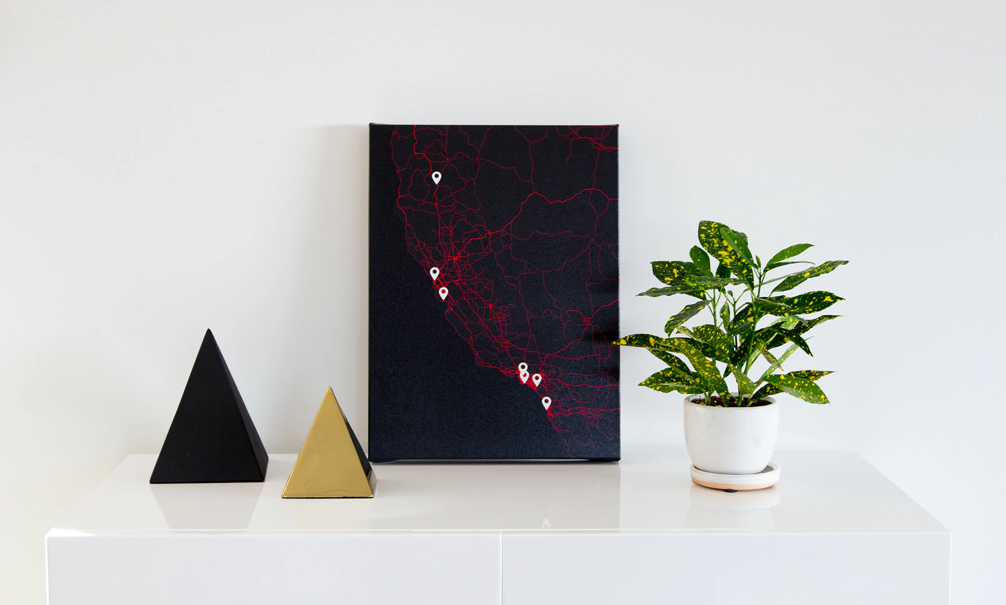
I recently made a 25000 x 25000 pixel Google Map to hang on my walland track all the places I’ve explored in the city.
2017 · roche.io · its alternatives →
- 16

Turn your spreadsheets into beautiful map visualizations
2024 · postcodeheatmap.com · its alternatives →
- 17VL
2016 · alexander-brett.co.uk · its alternatives →
- 18
 MapScroll▲109
Hi HN, I built this after getting frustrated trying to map out things like “Ancient mayan ruins” or “James Bond movie locations” on Google "My" Maps. You basically have to drop pins manually, hunt down photos, copy links, it’s slow and never feels like an actual story. With MapScroll, you just type something like “Marco Polo’s route” or “forgotten WWII sites in France”, and it geocodes, grabs images + articles, and plots everything into a shareable story map. Each marker comes with a little gallery and sources tied to your prompt. You can also refine the first draft which AI creates before…
2025 · mapscroll.ai · its alternatives →
- 19

- 20

I just redesigned an old (1 year) project and would appreciate any feedback. The site has no real purpose other than allowing you to explore the large amount of imagery gathered by Google. You can make it less random by choosing a country, or indeed any geographical area (cities etc.) http://www.mapcrunch.com Thanks
2011 · mapcrunch.com · its alternatives →
- 21

A vintage London map app that you can annotate
2015 · apps.apple.com · its alternatives →
- 22

Hey HN, I made a site where you can draw on street-level panoramas. Your drawings persist and other people can see them in real time. Strokes get projected onto the 3D panorama so they wrap around buildings and follow the geometry, not just a flat overlay. Uses WebGL2 for rendering, Mapillary for the street imagery. The idea is for it to become a global canvas, anyone can leave a mark anywhere and others stumble onto it.
Mar 2026 · washere.live · its alternatives →
- 23

Street Art from around the world
2014 · artsandculture.google.com · its alternatives →
- 24
 Map Chart▲93
Make a custom map with your own colors and descriptions.
2016 · mapchart.net · its alternatives →
Also compare
- isometric.nyc – giant isometric pixel art map of NYC alternatives
- Isopolis – Isometric pixel map of SF alternatives
- Search London StreetView panoramas by text alternatives
- Magpie Maps alternatives
- Follow London Trains in 3D alternatives
- A vintage London map app that you can annotate as you wish alternatives
Ranked by how close each launch is in meaning, then by votes. Prices were read from each product’s own site when checked and can change. Refine with your own description →