Life & fun · alternatives · 2026

24 alternatives to An interactive map of countries by tap water quality
Tap water safety for every country we have data for, on a map and as a table: the WHO coverage figure, the Numbeo score and the verdict.
An interactive map showing tap water quality across different countries. Users can tap on any country to learn whether its tap water is safe to drink. The tool helps travelers and residents quickly assess water safety… Below are 24 products that do a similar job, ranked by how close each is in meaning and then by launch-day votes. An interactive map of countries by tap water quality launched in 2020; newer entries below may have overtaken it.
- 1TW
Your global companion for finding clean, free, and accessible public water stations anytime, anywhere.
2019 · findtap.com · its alternatives →
- 2

Your city's EPA drinking-water records, in plain English
Jul 2026 · tapwatermap.com · its alternatives →
- 3

Free & interactive language world map. Discover with how many people you can communicate, and share your coloured map and results!
2023 · bilingualjobs.io · its alternatives →
- 4

View an interactive crime map and stats for San Francisco with Safemap, a completely free tool. Put your safety in your own hands.
2024 · safemap.io · its alternatives →
- 5My!hū▲81
See global environmental data in one real-time platform.
Apr 2026 · app.myhu.world · its alternatives →
- 6

- 7
 Fluid▲113
Track water and stay healthy with your friends
2021 · fluid.faden.cloud · its alternatives →
- 8
Visualization of where AI has been helpful and harmful
2020 · its alternatives →
- 9
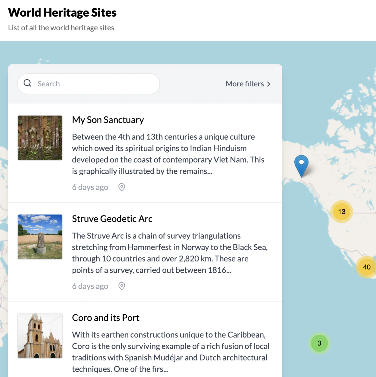
Find the best places to visit recommended by UNESCO
2021 · its alternatives →
- 10AI
This is an interactive map of US navigational aids and lighthouses, which indicates their location, color, characteristic and any remarks the Coast Guard has attached. I was sick at home with the flu this weekend, and went on a bit of a Wikipedia deep dive about active American lighthouses. Searching around a bit, it was very hard to find a single source or interactive map of active beacons, and a description of what the "characteristic" meant. The Coast Guard maintains a list of active lights though, that they publish annually…
Jan 2026 · lighthouses.app · its alternatives →
- 11

- 12

Using smart thermometers to detect surges in COVID-19 cases
2020 · extensive.io · its alternatives →
- 13

Find all contaminants detected in your drinking water
2017 · ewg.org · its alternatives →
- 14

- 15

- 16

Lockdown measures and tourists restrictions around the world
2020 · its alternatives →
- 17

- 18MMapipedia▲61
A web platform I've written to make it easy for people to share goespatial time series data and display it on animated heatmaps. There's also a social media component that allows you to write comments, follow, share and like data sets that you want to engage with. You can also download the CSV data and embed animations into your own websites. People uploading datasets can also choose to make money by accepting donations. Please check out the home page for more details: https://mapipedia.com Here are some samples of things created with the platform (press the play button to start…
2019 · its alternatives →
- 19
- 20

What's really in your water, air, and home?
Aug 2026 · knowyourexposure.com · its alternatives →
- 21

Live and travel with confidence by understanding your risks
2021 · safe-xplore.com · its alternatives →
- 22MM
The easiest way to show your geotagged photos and CSV data on a map.
2020 · mapipedia.com · its alternatives →
- 23

- 24


Also compare
Ranked by how close each launch is in meaning, then by votes. Prices were read from each product’s own site when checked and can change. Refine with your own description →