Dev tools · alternatives · 2026

24 alternatives to Bicimapa
Crowdsourced map for urban cyclists
Below are 24 products that do a similar job, ranked by how close each is in meaning and then by launch-day votes. Bicimapa launched in 2017; newer entries below may have overtaken it.
- 1

- 2

- 3

- 4

- 5

- 6
- 7BR
Hey guys, I built a route planner that is mostly focused on bike touring and using existing bike infrastructure. For each request you're shown what bike tracks/trails your route uses and can further explore them by showing them on map or going to the official trail route. The main idea for the app is to have a friendly and easy to use planner that would make heavy use of official bike trails data (mainly from OpenStreetMap) and make it easy to plan a longer trip using the best possible bike routes out there. Currently the app only works for the Euro region but I'm planning to add North…
2024 · trailimap.com · its alternatives →
- 8

- 9

Map the world's most vulnerable people in your spare time
2016 · mapswipe.org · its alternatives →
- 10

- 11

Each moving arrow represents one real bike ride out of 291 million, and if you've ever taken a Citi Bike before, you are included in this massive visualization! You can search for your ride using Cmd + K and your Citi Bike receipt, which should give you the time of your ride and start/end station. Everything is open source: https://github.com/freemanjiang/bikemap Some technical details: - No backend! Processed data is stored in parquet files on a Cloudflare CDN, and queried directly by DuckDB WASM - deck.gl w/ Mapbox for GPU-accelerated rendering of thousands of…
Jan 2026 · bikemap.nyc · its alternatives →
- 12
 Tasmap▲111
Hi there, I just saw a cool city map project (https://github.com/originalankur/maptoposter) gaining some attention on Hacker News. I'm building a similar product so I want to share it with you. If you're interested in beautiful maps, maybe give Tasmap a try. It's not just a static, beautiful map; it's dynamic and interactive, and connected with articles. There are 20+ well designed themes, and if you're not good at design, you can even have AI design it for you. You can embed it in your site or install it as an app on your phone. You can create a beautiful and useful map.…
2020 · tasmap.app · its alternatives →
- 13

- 14BBicyclopedia▲125
Hey folks! A bit of background: I'm a software engineer by trade, but I'm currently on sabbatical doing a year-long working holiday in Australia. I love riding bikes but only had the most beginner-level knowledge of them before I found a job at a bike shop. This was a fun personal project to try to capture some of what I've learned so far, targeted at fellow beginners. It's going to be incomplete/lacking if you already have some bike knowledge, but I hope you all enjoyed it all the same. Please keep the feedback coming; it's late in Australia, but I want to make sure the bike info is at…
2025 · bicyclopedia.lemoing.ca · its alternatives →
- 15

Hey HN, jvaclavik here from OpenClimbing team! We are thrilled to release version 2.0 of our fully opensource/opendata climbing guide. Based on OpenStreetMap for map-data and Wikimedia Commons for images, we created a (hopefully) user-friendly app which completely uses these open databases, thus contributing data back to commons. We designed a simple and powerful notation for drawing climbing routes directly over the Wikimedia pictures: - https://wiki.openstreetmap.org/wiki/Key:wikimedia_commons:pa... Check out the release article for a ton of new features, or go…
2014 · openstreetmap.org · its alternatives →
- 16
 UrbanCyclers▲83
App and social platform for boosting cycling in cities
2017 · cyclers.app · its alternatives →
- 17

- 18
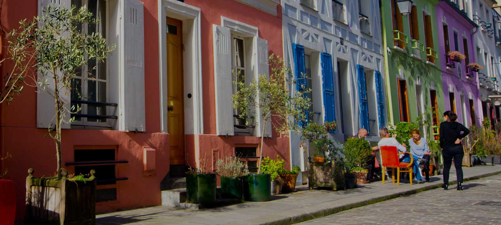 Pretty Streets▲110
Discover cities through customized walking itineraries
2016 · pretty-streets.com · its alternatives →
- 19

- 20
 Bike-ID▲142
The most advanced micro-tags bicycle registry in the world
2016 · registry.bike-id.eu · its alternatives →
- 21

A new interactive and data-driven travel guide
2015 · travelindicator.com · its alternatives →
- 22
 Zagster▲64
Bicycle sharing systems for businesses and institutions
2015 · zagster.com · its alternatives →
- 23

A first global marketplace for action sports activities
2016 · ridewithlocal.com · its alternatives →
- 24
 Monochōme▲69
Custom map-based clothing from OpenStreetMap data
2014 · monochome.com · its alternatives →
Also compare
Ranked by how close each launch is in meaning, then by votes. Prices were read from each product’s own site when checked and can change. Refine with your own description →