Work · alternatives · 2026
24 alternatives to From Photos to Positions: Prototyping VLM-Based Indoor Maps
Just a fun hack I did while bored over the weekend. My wife was busy shopping, it got me thinking that can VLMs solve the indoor location problem in a mall? Can I just show a VLM a map and an image and have it doa good enough job locating me? I hacked this P.O.C and it seems to work.
This project explores using vision language models to determine a user's indoor location by analyzing a photo and comparing it against a map image. Created as a weekend prototype, it tests whether VLMs can accurately… Below are 24 products that do a similar job, ranked by how close each is in meaning and then by launch-day votes.
- 1

I built a browser-based tool for detecting objects in satellite imagery using vision-language models (VLMs). You draw a polygon on the map and enter a text prompt such as "swimming pools", "oil tanks", or "buses". The system scans the selected area tile-by-tile and returns detections projected back onto the map as GeoJSON. Pipeline: select area and zoom level, split the region into mercantile tiles, run each tile with the prompt through a VLM, convert predicted bounding boxes to geographic coordinates (WGS84), and render the results back on the map. It works reasonably well for distinct…
Mar 2026 · useful-ai-tools.com · its alternatives →
- 2

X Inertial-aided Visual Odometry. Contribute to ucla-vision/xivo development by creating an account on GitHub.
2019 · github.com · its alternatives →
- 3
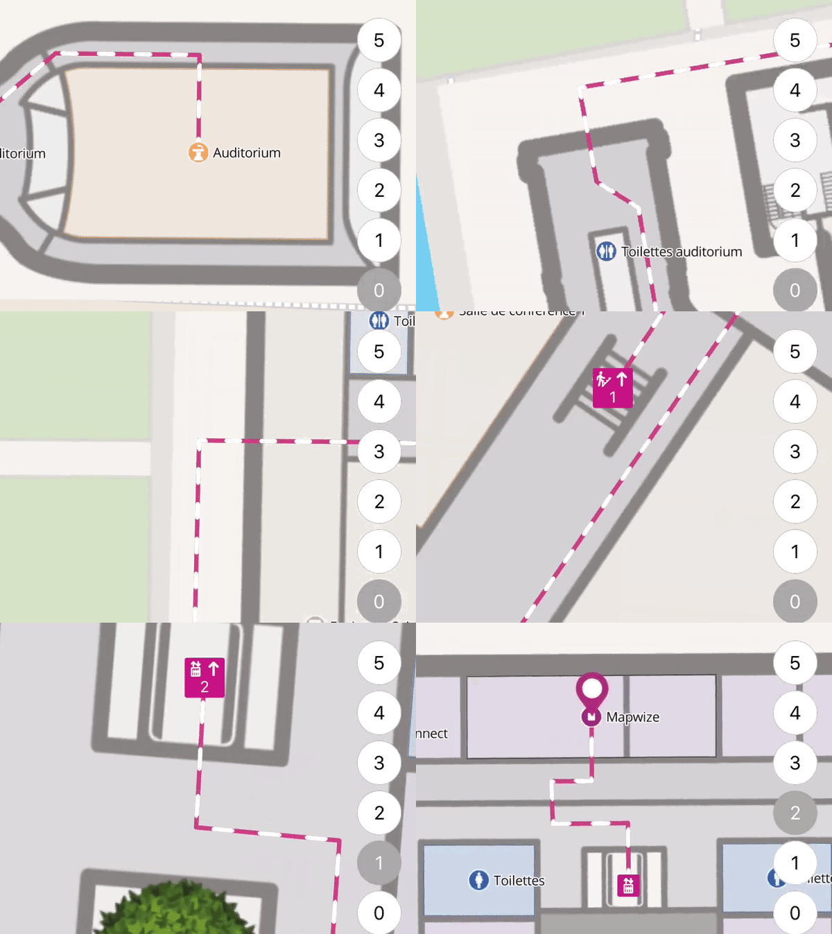
- 4

High-precision indoor positioning framework, version 3. - schollz/find3
2018 · github.com · its alternatives →
- 5

For the past few months, I've been working on a website that answers two different questions: - Where in my city have the best travel times to all the things and people I care about? - Given a listing, how far is it from all the things and people I care about? Personally this was fueled by my own frustrations when I was apartment hunting in NYC. I was frustrating to have to juggle so many Google Maps tabs when I was evaluating a listing, and it was also annoying to not have full confidence that I was even searching in the right places. I wanted to be close to work, a Trader Joe's, and a…
2025 · theretowhere.com · its alternatives →
- 6

- 7

SDK for indoor location as a service with Estimote Beacons
2014 · estimote.com · its alternatives →
- 8UY
I used the YOLO object detection library from Ultralytics to scan over 40 million hotel photos and identify images with office chairs. This helped me create a map showing hotels suitable for remote work. Map: https://www.tripoffice.com/maps Yolo: https://www.ultralytics.com/yolo The whole process was done on a home Mac without the use of any LLMs. It's based on traditional object detection technology.
2025 · its alternatives →
- 9LW
Hi HN, I made a web game to practice country locations a while ago and HN liked it, so I thought I'd post my updated version as well. As for how the game works and feels, I'd really recommend you checking it out for yourself, it's free, no signup, no ads. The tech stack is Vue + ts + Tailwind/Daisy for the looks. The learning algorithm is a slight modification of the ts version of FSRS. If you have anything to add, it's open source as well (https://github.com/koljapluemer/learn-worldmap), although not well documented yet. In the end it's just a little sideproject,…
2025 · map.koljapluemer.com · its alternatives →
- 10

Most inference UIs that I've come across pretty much just give us a chat-like interface to toy around with models in a single visual conversation thread. Given the fact that we are limited to seeing only one output at a time, it's kind of hard to compare outputs from different models, adjustments made to the prompting, and sampler settings. But even when keeping the generation parameters the same (e.g., to test for reliability in the output) and just going for multiple passes, there is no easy way to have a side-by-side comparison to keep track of the outputs from the multiple "rounds". I…
2024 · github.com · its alternatives →
- 11

- 12

High-precision indoor positioning framework for most wifi-enabled devices. - schollz/find
2016 · github.com · its alternatives →
- 13

A community to showcase your interactive prototypes
2014 · spaces.proto.io · its alternatives →
- 14

Code & schematics for position tracking sensor using HTC Vive's Lighthouse system and a Teensy board. - ashtuchkin/vive-diy-position-sensor
2016 · github.com · its alternatives →
- 15
 Find▲70
High-precision indoor positioning framework for wifi-enabled
2016 · github.com · its alternatives →
- 16
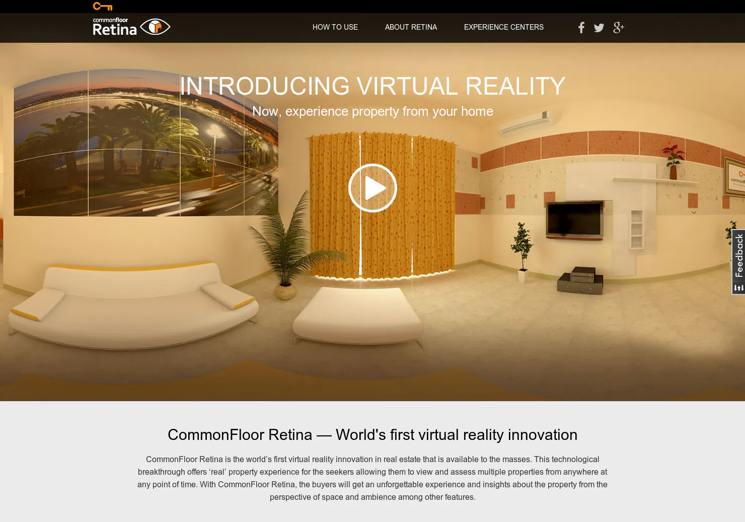
- 17

- 18

Super simple and accurate indoor positioning with the updated Estimote Indoor Location SDK Employing beacon technology to deliver indoor location solutions requires a deep understanding of the physics...
2015 · blog.estimote.com · its alternatives →
- 19
 Cartographer▲79
Real-time simultaneous localization and mapping library
2016 · github.com · its alternatives →
- 20
- 21RT
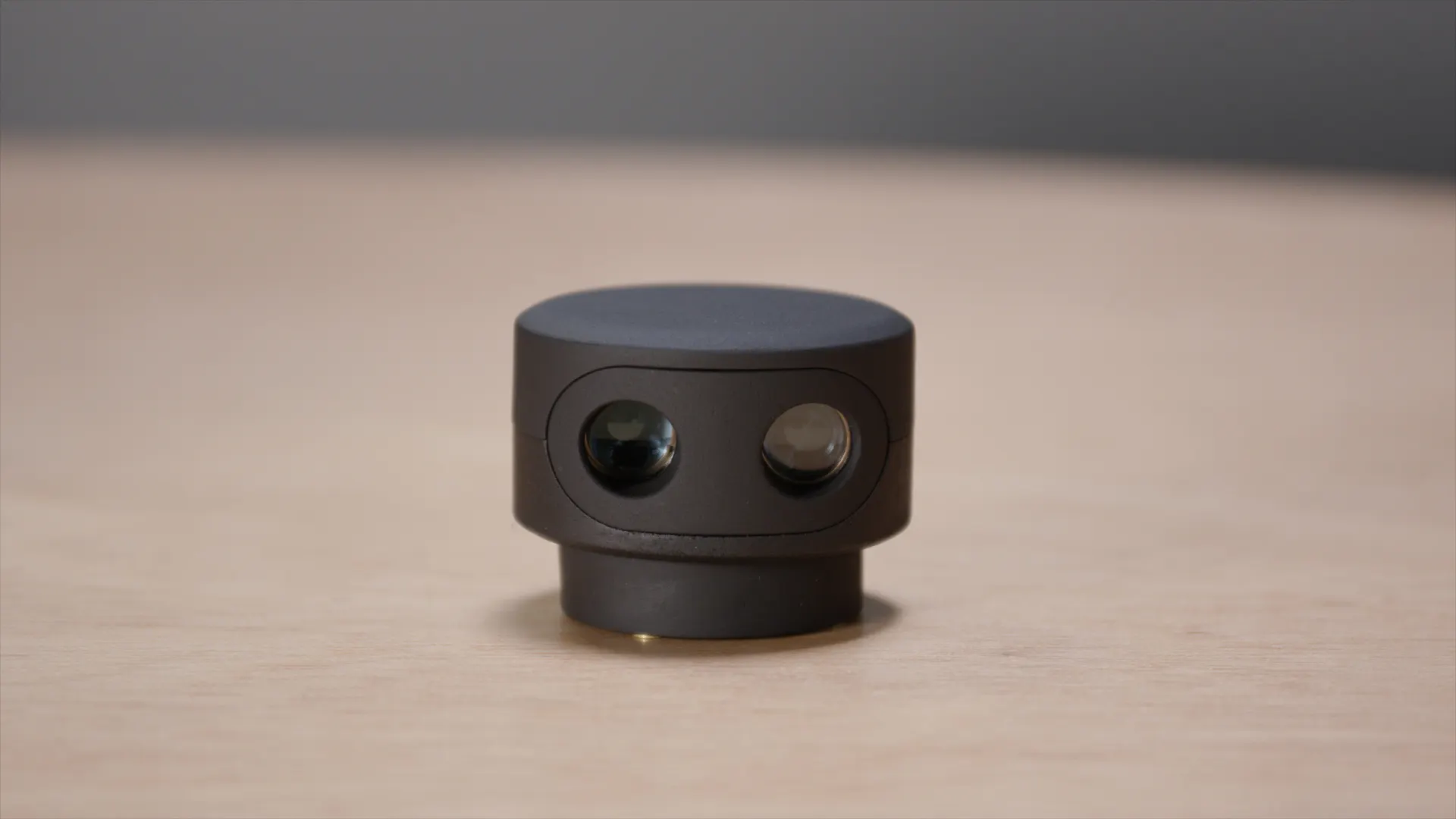
augmented reality mixed reality hololens spatial authoring mini map architecture construction interior design Exanaview
2019 · exanaview3d.com · its alternatives →
- 22
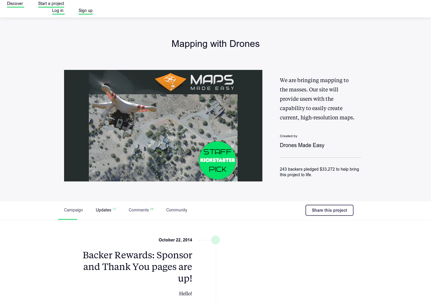
An app that creates aerial imagery (Kickstarter).
2014 · kickstarter.com · its alternatives →
- 23
 Enso Locate▲61
Indoor location made easy. Beacons + cross-platform SDK.
2014 · ensolocate.com · its alternatives →
- 24IL
2012 · play.google.com · its alternatives →
Also compare
- Satellite imagery object detection using text prompts alternatives
- fast visual-inertial odometry/SLAM for AR/VR/Robotics alternatives
- Mapwize alternatives
- Find3 – An indoor positioning system for smartphones and laptops alternatives
- A website that heatmaps your city based on your housing preferences alternatives
- Archilogic alternatives
Ranked by how close each launch is in meaning, then by votes. Prices were read from each product’s own site when checked and can change. Refine with your own description →