Life & fun · alternatives · 2026

24 alternatives to Light Pollution Map
Real-time maps to find dark skies for stargazing
Below are 24 products that do a similar job, ranked by how close each is in meaning and then by launch-day votes.
- 1

- 2
 Ouranos▲8
Weather Forecast & Light Pollution Maps for Astronomers
2024 · ouranos-app.com · its alternatives →
- 3

I've been working on this project for about 4 years. It began as terrain only because world wide elevation data was publicly available. I then added buildings from OpenStreetMap (crowd sourced) and more recently from Overture Maps data. Some computer vision/machine learning advancements [1] in the past few years have made it possible to estimate tree canopy heights using satellite imagery alone making it possible to finally add trees to the map. The data isn't perfect, but it's within +/- 3 meters of so. Good enough to give a general idea for any location on Earth. Happy to answer…
2024 · shademap.app · its alternatives →
- 4
 Sky Guide▲88
Incredibly beautiful AR augmented map of the stars
2018 · apps.apple.com · its alternatives →
- 5

Tracking light pollution to find locations for stargazing
2018 · darksitefinder.com · its alternatives →
- 6AAAstro App▲291
I really like Stellarium and SkySafari but I felt like these are primarily geared towards exploring the sky but not so much "here are the long list of things I want to see, when can I see them tonight and where". There's also not really a great option I've found that combines sky object planning + location weather details while still being free so I built this. The UI's heavily inspired by NINAs sky atlas + Robinhood. Right now you can: View the altitude chart of objects and 3D view Create lists of objects of interest View the annual max/min daily altitude of an object to find the best…
2024 · astro.sshh.io · its alternatives →
- 7
 Shadowmap▲292
Interactive 3D maps app to visualize solar shadows worldwide
2021 · app.shadowmap.org · its alternatives →
- 8
- 9AS
Create custom star maps, with the stars, planets, Sun and Moon as seen from the locations, dates and times of your choice, and your own design. Download them as transparent PNG to add to your own products, or create unique art with them.
2019 · thestarmaps.com · its alternatives →
- 10

- 11

Add data to your travel and real estate searches
2020 · its alternatives →
- 12

GB Renewables Map an energy experiment created entirely in my free time (day job is visualisation at Octopus Energy). It's an interactive map showing live generation for major wind farms in Great Britain, showing what each wind farm is generating both now and in the past, and where that generation is physically located. Animated weather data is from WeatherLayers and shows current and historic wind conditions on the map, providing context to wind generation around the country. History mode allows you to go back in time and see wind generation and weather conditions for a particular date and…
2023 · renewables-map.robinhawkes.com · its alternatives →
- 13

Nikmati kemudahan deposit via QRIS, Dana, OVO, LinkAja, GoPay, dan bank BCA/Mandiri/BRI di Buaya138. Proses cepat tanpa potongan. Minimal deposit 10rb.
2019 · sunlight.live · its alternatives →
- 14
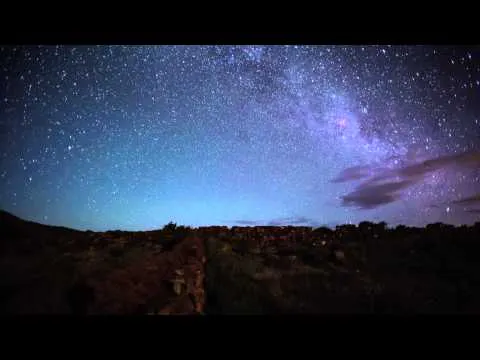
Identify stars, planets, constellations and even satellites
2015 · icandiapps.com · its alternatives →
- 15

Visualizing the air quality on your street in real time
2017 · airview.blueair.com · its alternatives →
- 16
 Electricity Map▲100
Live CO2 emissions of electricity consumption
2017 · electricitymaps.com · its alternatives →
- 17

This is a service I've built to provide equirectangular cloud maps of the whole Earth, updated every 3 hours, for free. It's based on infrared and visible light data from EUMETSAT, processed to enhance the clouds and try to reduce the impact of surface temperatures on the final image. I built it because it's surprisingly hard to find these kinds of images in a format that's useful to developers and hobbyists. I was building a 3D ISS tracker and wanted to include live clouds but couldn't find anything good, so I got sidetracked, and here we are.
2023 · github.com · its alternatives →
- 18

Real time lightning strikes across the globe
2014 · lightningmaps.org · its alternatives →
- 19

- 20AI
This is an interactive map of US navigational aids and lighthouses, which indicates their location, color, characteristic and any remarks the Coast Guard has attached. I was sick at home with the flu this weekend, and went on a bit of a Wikipedia deep dive about active American lighthouses. Searching around a bit, it was very hard to find a single source or interactive map of active beacons, and a description of what the "characteristic" meant. The Coast Guard maintains a list of active lights though, that they publish annually…
Jan 2026 · lighthouses.app · its alternatives →
- 21

- 22
- 23
 Haze▲60
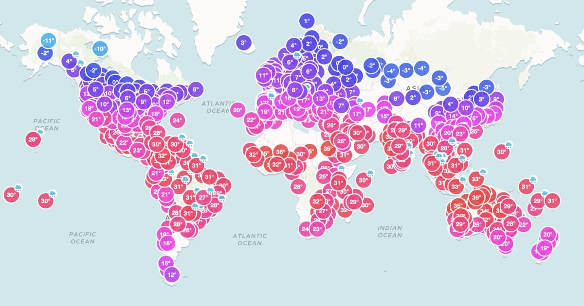
Live air quality and weather in a simple and clear design.
2021 · apps.apple.com · its alternatives →
- 24
 Strellas▲97
Beautiful star maps of your special moments
2018 · positiveprints.com · its alternatives →
Also compare
Ranked by how close each launch is in meaning, then by votes. Prices were read from each product’s own site when checked and can change. Refine with your own description →