Dev tools · alternatives · 2026

24 alternatives to NearMe OSINT
Wildfires, traffic, weather & earthquakes — live OSINT map
Below are 24 products that do a similar job, ranked by how close each is in meaning and then by launch-day votes.
- 1

Incendios en España y Portugal hoy en tiempo casi real: focos por satélite NASA, área quemada de Copernicus, viento con la dirección del humo y municipios afectados.
Jul 2026 · firemapsspain.online · its alternatives →
- 2

Hey all! My train the other day was delayed and I got curious where they all were at any given time, so I built a map and figured I'd share it.
2023 · trains.fyi · its alternatives →
- 3

Hi HN, I built an OSINT tool called Weather2Geo that helps locate where a screenshot was taken based on the weather widget data visible (e.g. temp, condition, and local time in the taskbar). People often post these without realizing how specific those values can be in combination. It works by comparing the given weather condition, temperature, and time against current data from thousands of cities. It’s timezone-aware, supports fuzzy matching, and groups results geographically to reduce noise. It’s most effective on recent screenshots, ideally taken within the last hour—since weather and…
2025 · github.com · its alternatives →
- 4

Add data to your travel and real estate searches
2020 · its alternatives →
- 5SN
After reading "During Helene, I Just Wanted a Plain Text Website" on Sparkbox (https://news.ycombinator.com/item?id=46494734) , I built safe-now.live – a text-first emergency info site for USA and Canada. No JavaScript, no images, under 10KB. Pulls live FEMA disasters, NWS alerts, weather, and local resources. This is my first live website ever so looking for critical feedback on the website. Please feel free to look around. https://safe-now.live
Feb 2026 · safe-now.live · its alternatives →
- 6

Weather Forecast APIs with weather models from multiple national weather providers, combining the best models for accurate forecasts worldwide. Explore the API documentation to learn more about the available weather models, their origin countries, resolutions, forecast lengths, and update frequencie
2021 · open-meteo.com · its alternatives →
- 7

View an interactive crime map and stats for San Francisco with Safemap, a completely free tool. Put your safety in your own hands.
2024 · safemap.io · its alternatives →
- 8CO
Monitor the situation to your own liking. Polymarket, Subway Surfers, Bluesky integration, Flight trackers. Runs all requests client side and doesn't store information. Open to feedback.
Jan 2026 · sr.ericli.tech · its alternatives →
- 9

- 10
- 11

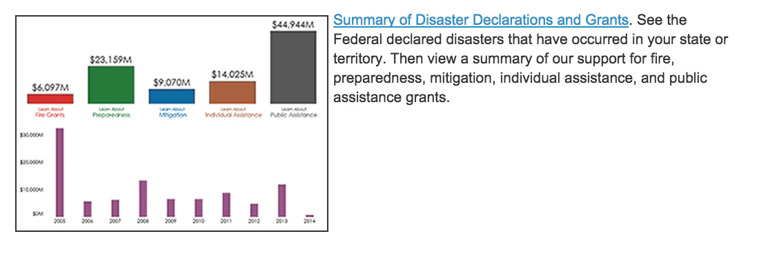
Live OSINT map of global migration flows & displacement
Aug 2026 · migrationflow.viajeinteligencia.com · its alternatives →
- 12

- 13

Track wildfires across the nation
2022 · wildfires.areahub.com · its alternatives →
- 14
 Karl Weather▲82
A beautiful SF microclimate weather app for iOS
2017 · apps.apple.com · its alternatives →
- 15

Explore global weather forecasts on interactive maps with temperature, wind, and precipitation overlays. 16-day outlooks for cities worldwide, powered by NOAA GFS.
2014 · weather-explorer.com · its alternatives →
- 16

A data aware UI components library for building realtime maps - reactivemaps/README.md at master · appbaseio/reactivemaps
2017 · github.com · its alternatives →
- 17
- 18

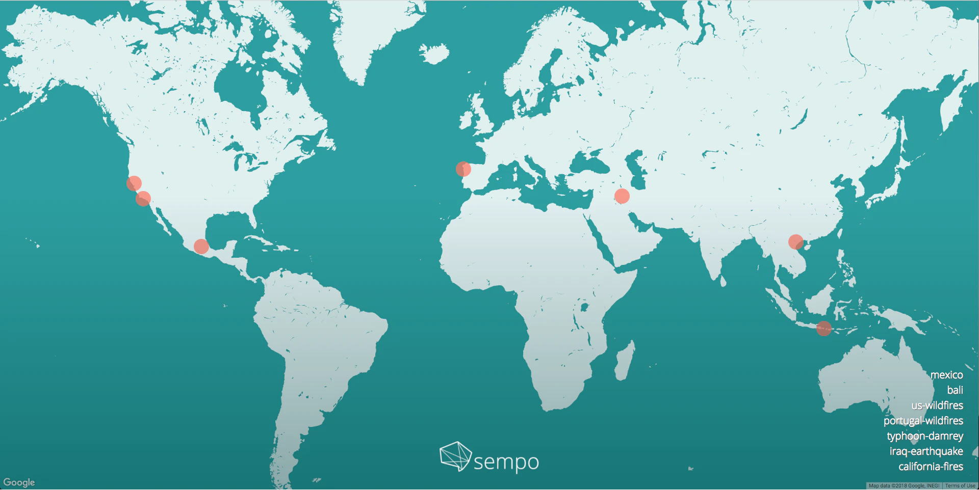
An app for viewing, tracking and receiving wildfire alerts
2021 · firespotapp.com · its alternatives →
- 19

- 20

Live Earth data. One map. Zero clutter.
Aug 2026 · liveearthmap.com · its alternatives →
- 21

See Wildfires from Satellites, Track Flights, Quakes, Sharks
May 2026 · apps.apple.com · its alternatives →
- 22
 Riska▲5
Bilingual wildfire alerts and guidance for Portugal
Jun 2026 · riska.app · its alternatives →
- 23
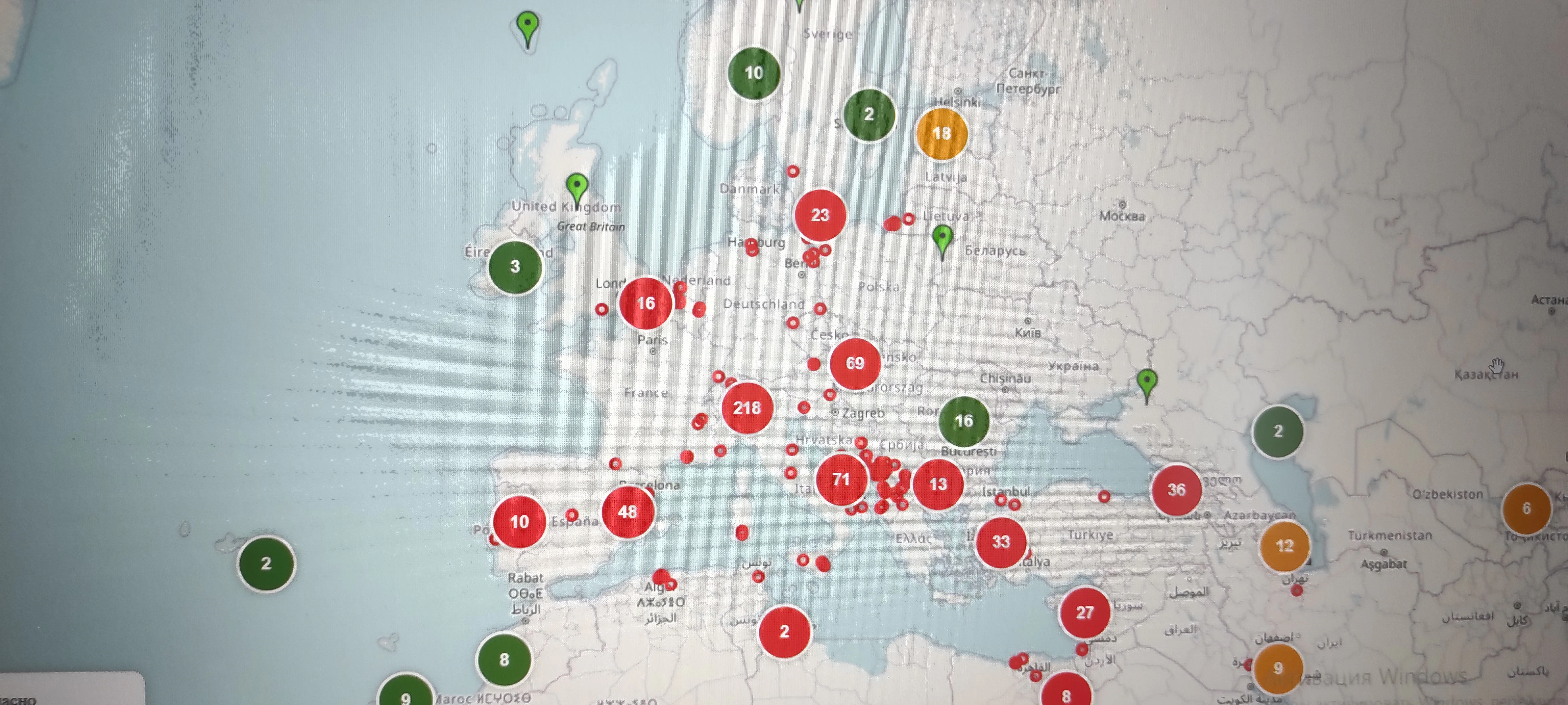
See fires and earthquakes near resorts in real time
Apr 2026 · travel-risk-map.netlify.app · its alternatives →
- 24

Professional social photo & video tool for tourists
2022 · zigalga.eu5.org · its alternatives →
Also compare
- Firemaps Spain – Live wildfire map with wind flow for ES and PT alternatives
- Trains.fyi – a live map of passenger trains in the US and Canada alternatives
- Weather2Geo – Geolocate screenshots from weather widgets alternatives
- IggyEnrich for your browser alternatives
- Safe-now.live – Ultra-light emergency info site (<10KB) alternatives
- Weather API for non-commercial use alternatives
Ranked by how close each launch is in meaning, then by votes. Prices were read from each product’s own site when checked and can change. Refine with your own description →