Life & fun · alternatives · 2026

24 alternatives to Wildfires by AreaHub
Track wildfires across the nation
Below are 24 products that do a similar job, ranked by how close each is in meaning and then by launch-day votes. Wildfires by AreaHub launched in 2022; newer entries below may have overtaken it.
- 1
- 2

Analysing satellite imagery of the Jan 2025 Southern California wildfires - xingyzt/fire
2025 · github.com · its alternatives →
- 3
An app for viewing, tracking and receiving wildfire alerts
2021 · firespotapp.com · its alternatives →
- 4
 AreaHub▲75
Discover climate and environmental hazards near you
2022 · areahub.com · its alternatives →
- 5
- 6
 Wildfire▲550
Record your browser actions for automated workflows 🔥
2017 · chromewebstore.google.com · its alternatives →
- 7

Add data to your travel and real estate searches
2020 · its alternatives →
- 8
- 9
- 10
 LeadStory▲85
Geo-tagged news, watch stories where and when they happen
2021 · leadstory.com · its alternatives →
- 11FWForest Watch▲72
Keep track of forests in your area by viewing changes in tree cover over time. I’ve build this as a demo of what you can do with the ArcGIS library and the geo data that is offered by Global Forest Watch and Esri. Don’t forget to click the history button. Works best on desktop! The demo is build with React and open source: https://github.com/vnglst/koenvangilst.nl/tree/main/app/(bla...
2024 · koenvangilst.nl · its alternatives →
- 12

An evolving, nationwide map of the outdoors
2015 · naturalatlas.com · its alternatives →
- 13

I built Signet in Go to see if an autonomous system could handle the wildfire monitoring loop that people currently run by hand - checking satellite feeds, pulling up weather, looking at terrain and fuels, deciding whether a detection is actually a fire worth tracking. All the data already exists: NASA FIRMS thermal detections, GOES-19 imagery, NWS forecasts, LANDFIRE fuel models, USGS elevation, Census population data, OpenStreetMap. The problem is it arrives from different sources on different cadences in different formats. Most of the system is deterministic plumbing - ingestion, spatial…
Mar 2026 · signet.watch · its alternatives →
- 14
 AirCare 2.0▲71
App to track air quality, pollen, UV and fires
2022 · getaircare.com · its alternatives →
- 15

- 16

Visualize the damage done by wild fires in California
2017 · robinkraft.github.io · its alternatives →
- 17
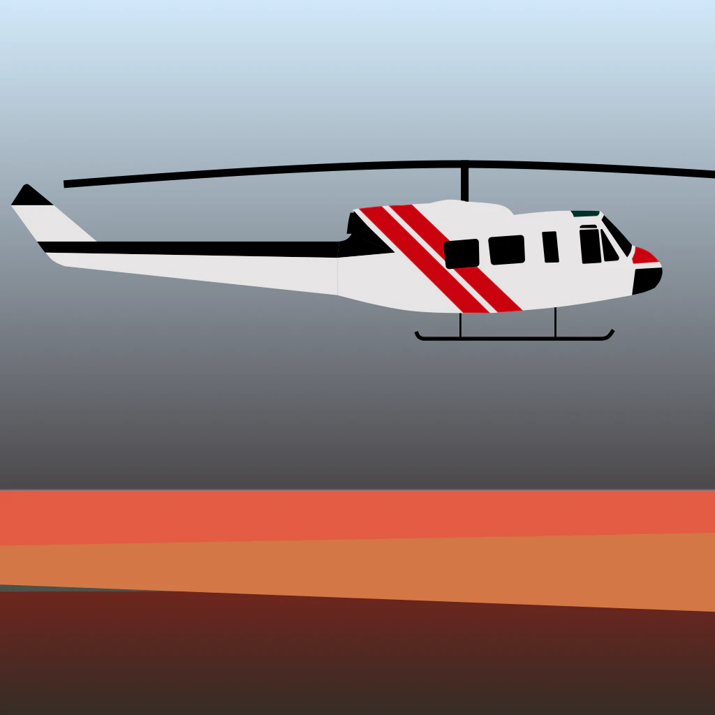
App to spot all fire fighting related aircrafts
2021 · waterbomber.app · its alternatives →
- 18
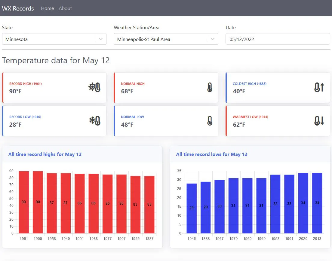
Daily records and normal temperatures from across the US
2022 · its alternatives →
- 19

- 20

The easiest way to track climate change metrics.
2022 · climatechangetracker.org · its alternatives →
- 21
 Chestnut▲75
Get your free wildfire risk analysis in under a minute
2019 · getchestnut.com · its alternatives →
- 22IM
Updated: Annadel/Kenwood to Napa 10/18, SR 10/12. Satellite fire map w/address search & compare mode. By Overview News © Digital Globe. Hosting by Mapbox
2017 · robinkraft.github.io · its alternatives →
- 23

Explore global weather forecasts on interactive maps with temperature, wind, and precipitation overlays. 16-day outlooks for cities worldwide, powered by NOAA GFS.
2014 · weather-explorer.com · its alternatives →
- 24
Also compare
Ranked by how close each launch is in meaning, then by votes. Prices were read from each product’s own site when checked and can change. Refine with your own description →