AI · alternatives · 2026

24 alternatives to Chestnut
Get your free wildfire risk analysis in under a minute
Below are 24 products that do a similar job, ranked by how close each is in meaning and then by launch-day votes. Chestnut launched in 2019; newer entries below may have overtaken it.
- 1

Analysing satellite imagery of the Jan 2025 Southern California wildfires - xingyzt/fire
2025 · github.com · its alternatives →
- 2

Provides daily wildfire risk scores for California.
2021 · fire.terrafuse.ai · its alternatives →
- 3

I've been working on this project for about 4 years. It began as terrain only because world wide elevation data was publicly available. I then added buildings from OpenStreetMap (crowd sourced) and more recently from Overture Maps data. Some computer vision/machine learning advancements [1] in the past few years have made it possible to estimate tree canopy heights using satellite imagery alone making it possible to finally add trees to the map. The data isn't perfect, but it's within +/- 3 meters of so. Good enough to give a general idea for any location on Earth. Happy to answer…
2024 · shademap.app · its alternatives →
- 4

View an interactive crime map and stats for San Francisco with Safemap, a completely free tool. Put your safety in your own hands.
2024 · safemap.io · its alternatives →
- 5
- 6

I built Signet in Go to see if an autonomous system could handle the wildfire monitoring loop that people currently run by hand - checking satellite feeds, pulling up weather, looking at terrain and fuels, deciding whether a detection is actually a fire worth tracking. All the data already exists: NASA FIRMS thermal detections, GOES-19 imagery, NWS forecasts, LANDFIRE fuel models, USGS elevation, Census population data, OpenStreetMap. The problem is it arrives from different sources on different cadences in different formats. Most of the system is deterministic plumbing - ingestion, spatial…
Mar 2026 · signet.watch · its alternatives →
- 7

- 8

HyperLogLog with lots of sugar (Sparse, LogLog-Beta bias correction and TailCut space reduction) brought to you by Axiom - axiomhq/hyperloglog
2017 · github.com · its alternatives →
- 9

Visualize the damage done by wild fires in California
2017 · robinkraft.github.io · its alternatives →
- 10

An app for viewing, tracking and receiving wildfire alerts
2021 · firespotapp.com · its alternatives →
- 11

Hi Everyone! Kubetail is a general-purpose logging dashboard for Kubernetes, optimized for tailing logs across multi-container workloads in real-time. With Kubetail, you can view logs from all the containers in a workload (e.g. Deployment or DaemonSet) merged into a single chronological timeline, delivered to your browser or terminal. I launched Kubetail on HN last year and at that time the top request was to add search. Now I'm happy to say we finally have search available in our latest official release (cli/v0.4.3, helm/v0.10.1). You can check it out in action here:…
2025 · github.com · its alternatives →
- 12

Free wildfire risk assessment tool
Dec 2025 · creativetreeandstump.com · its alternatives →
- 13

Add data to your travel and real estate searches
2020 · its alternatives →
- 14
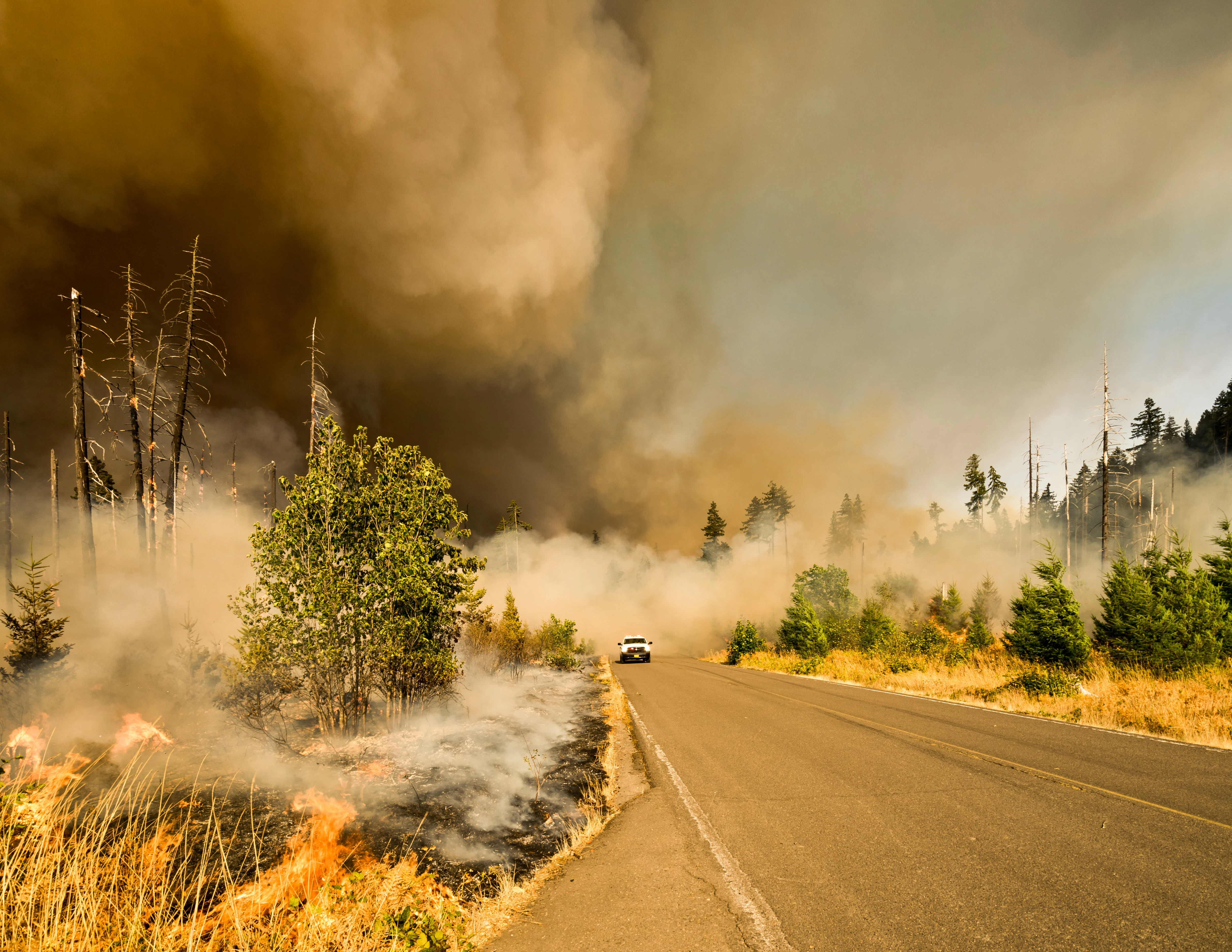
Support the CA wildfire relief in <30 seconds.
2018 · alma.app · its alternatives →
- 15

- 16
 Riska▲5
Bilingual wildfire alerts and guidance for Portugal
Jun 2026 · riska.app · its alternatives →
- 17IM
Updated: Annadel/Kenwood to Napa 10/18, SR 10/12. Satellite fire map w/address search & compare mode. By Overview News © Digital Globe. Hosting by Mapbox
2017 · robinkraft.github.io · its alternatives →
- 18
 Loggly▲74
Unified log monitoring, log analysis and alerting system
2015 · loggly.com · its alternatives →
- 19
- 20

- 21

Buying a home? Get a free risk assessment for any US address
2025 · safer.house · its alternatives →
- 22

Ask a question, get a map from live data
Jul 2026 · showmeonmap.com · its alternatives →
- 23

Track, prepare for, and prevent wildfires across BC and AB
May 2026 · wildfire-ready.app · its alternatives →
- 24

Also compare
- LA Wildfire Satellite Analysis alternatives
- Terrafuse Wildfire AI alternatives
- Every mountain, building and tree shadow mapped for any date and time alternatives
- Play with an interactive heatmap of SF crime (and other cities) alternatives
- Wildfire alternatives
- Signet – Autonomous wildfire tracking from satellite and weather data alternatives
Ranked by how close each launch is in meaning, then by votes. Prices were read from each product’s own site when checked and can change. Refine with your own description →