Life & fun · alternatives · 2026

24 alternatives to LA Wildfire Satellite Analysis
Analysing satellite imagery of the Jan 2025 Southern California wildfires - xingyzt/fire
LA Wildfire Satellite Analysis is a tool for monitoring and analyzing wildfires in the Los Angeles area using satellite imagery. It's designed for people interested in tracking fire activity, understanding fire… Below are 24 products that do a similar job, ranked by how close each is in meaning and then by launch-day votes.
- 1

I built Signet in Go to see if an autonomous system could handle the wildfire monitoring loop that people currently run by hand - checking satellite feeds, pulling up weather, looking at terrain and fuels, deciding whether a detection is actually a fire worth tracking. All the data already exists: NASA FIRMS thermal detections, GOES-19 imagery, NWS forecasts, LANDFIRE fuel models, USGS elevation, Census population data, OpenStreetMap. The problem is it arrives from different sources on different cadences in different formats. Most of the system is deterministic plumbing - ingestion, spatial…
Mar 2026 · signet.watch · its alternatives →
- 2
 Wildfire▲550
Record your browser actions for automated workflows 🔥
2017 · chromewebstore.google.com · its alternatives →
- 3IM
Updated: Annadel/Kenwood to Napa 10/18, SR 10/12. Satellite fire map w/address search & compare mode. By Overview News © Digital Globe. Hosting by Mapbox
2017 · robinkraft.github.io · its alternatives →
- 4
- 5

Visualize the damage done by wild fires in California
2017 · robinkraft.github.io · its alternatives →
- 6
 Chestnut▲75
Get your free wildfire risk analysis in under a minute
2019 · getchestnut.com · its alternatives →
- 7

Satellite imagery for dummies. Contribute to plant99/felicette development by creating an account on GitHub.
2020 · github.com · its alternatives →
- 8

AI fire detection and monitoring from satellites
May 2026 · satellitesonfire.com · its alternatives →
- 9

Incendios en España y Portugal hoy en tiempo casi real: focos por satélite NASA, área quemada de Copernicus, viento con la dirección del humo y municipios afectados.
Jul 2026 · firemapsspain.online · its alternatives →
- 10

An app for viewing, tracking and receiving wildfire alerts
2021 · firespotapp.com · its alternatives →
- 11

View an interactive crime map and stats for San Francisco with Safemap, a completely free tool. Put your safety in your own hands.
2024 · safemap.io · its alternatives →
- 12
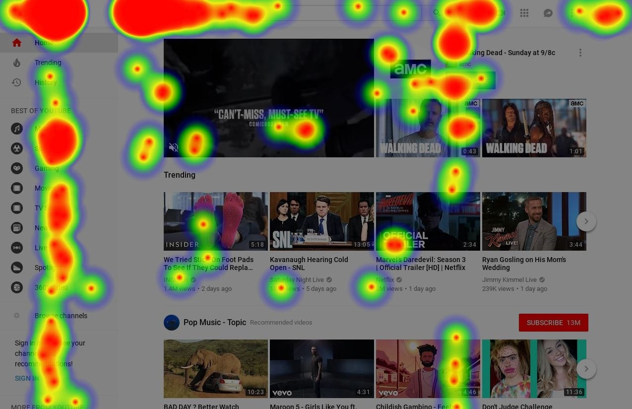
Any website's heatmap data is at your fingertips
2018 · its alternatives →
- 13

Track wildfires across the nation
2022 · wildfires.areahub.com · its alternatives →
- 14

Explore global weather forecasts on interactive maps with temperature, wind, and precipitation overlays. 16-day outlooks for cities worldwide, powered by NOAA GFS.
2014 · weather-explorer.com · its alternatives →
- 15

- 16

- 17
- 18

Fire detection Twitter bot using satellite imagery
2022 · twitter.com · its alternatives →
- 19
 Watch Duty▲205
Get real-time alerts of wildfires and firefighting efforts
2025 · watchduty.org · its alternatives →
- 20

I built a browser-based tool for detecting objects in satellite imagery using vision-language models (VLMs). You draw a polygon on the map and enter a text prompt such as "swimming pools", "oil tanks", or "buses". The system scans the selected area tile-by-tile and returns detections projected back onto the map as GeoJSON. Pipeline: select area and zoom level, split the region into mercantile tiles, run each tile with the prompt through a VLM, convert predicted bounding boxes to geographic coordinates (WGS84), and render the results back on the map. It works reasonably well for distinct…
Mar 2026 · useful-ai-tools.com · its alternatives →
- 21

- 22

Provides daily wildfire risk scores for California.
2021 · fire.terrafuse.ai · its alternatives →
- 23

Visualise a git repository by diff activity. Contribute to jmforsythe/Git-Heat-Map development by creating an account on GitHub.
2023 · github.com · its alternatives →
- 24
A "virtual satellite" to map Earth in unprecedented detail
2025 · deepmind.google · its alternatives →
Also compare
Ranked by how close each launch is in meaning, then by votes. Prices were read from each product’s own site when checked and can change. Refine with your own description →