Life & fun · alternatives · 2026
24 alternatives to NYC Subway Simulator and Route Designer
Hello HN! As a long term NYC resident, I have read countless articles on ideas tweaking subway services, but always found them hard to follow without visual aid. So over the long weekend I decided to build one. It has all the basic features: trains would spawn at their origin, stop at stations, and slow down if it gets too close to another. You can also design custom routes by piecing tracks together. Have fun, and let me know what you think!
NYC Subway Simulator and Route Designer lets users visualize how subway systems work and experiment with service ideas. Trains spawn at origins, stop at stations, and automatically slow down when approaching other… Below are 24 products that do a similar job, ranked by how close each is in meaning and then by launch-day votes.
- 1

- 2

- 3

New York City Subway Signalling and Interlocking Simulator
2015 · nycsubway.org · its alternatives →
- 4

I previously made a web version of The Weekendest, but when I was laid off from my last job, I decided to take the free time I had to pick up Swift UI, and made a native iOS version of it. The main draw of the app is that the map is dynamically generated based on the current subway routing, so when you open the app on weekends or overnight, you'll see lines correspond to where the trains are actually running, which is a very unique NYC problem. Let me know what you think!
2024 · apps.apple.com · its alternatives →
- 5
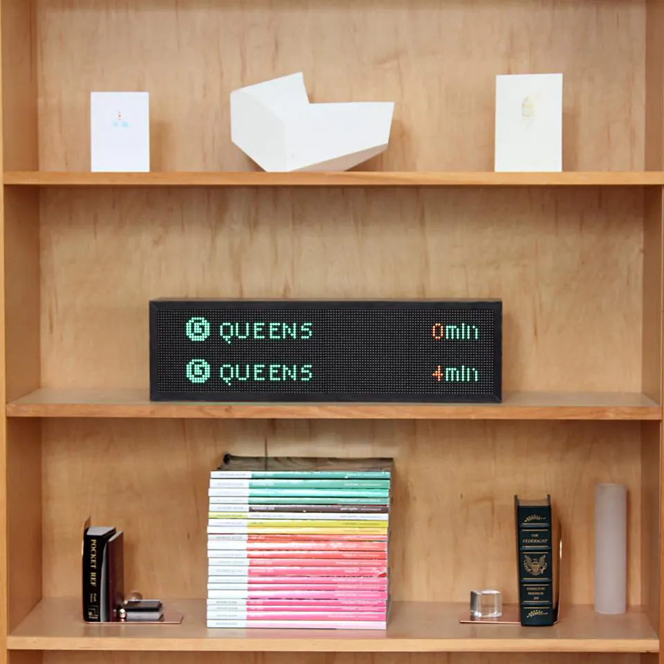
- 6

Hello, I was running around Germany, hectically navigating public transportation, and getting lost all the time. I noticed that every station had i platforms, each used lists of n buses (trains, whatever) arriving, each has their list of m destinations. That means I would be scanning i x n x m items just to see if I was at the correct stop. As I was nervous, for every bus that arrived, I would rescan the list of stops to double check. I began thinking how I could make a better system. Linked is a very shoddy mockup of how bloom filters could be used to allow passengers O(1) lookup time for…
2023 · github.com · its alternatives →
- 7

- 8

Explore the Berlin subway system using Memgraph Lab, mapping subway stops as nodes and connections as edges in a graph database.
2023 · memgraph.com · its alternatives →
- 9

For the past few months, I've been working on a website that answers two different questions: - Where in my city have the best travel times to all the things and people I care about? - Given a listing, how far is it from all the things and people I care about? Personally this was fueled by my own frustrations when I was apartment hunting in NYC. I was frustrating to have to juggle so many Google Maps tabs when I was evaluating a listing, and it was also annoying to not have full confidence that I was even searching in the right places. I wanted to be close to work, a Trader Joe's, and a…
2025 · theretowhere.com · its alternatives →
- 10

Animated live map of the Berlin city trains
2022 · xn--ubhnchen-1za.vercel.app · its alternatives →
- 11
Build the NYC subway system of your dreams
2016 · jpwright.net · its alternatives →
- 12BR
Hey guys, I built a route planner that is mostly focused on bike touring and using existing bike infrastructure. For each request you're shown what bike tracks/trails your route uses and can further explore them by showing them on map or going to the official trail route. The main idea for the app is to have a friendly and easy to use planner that would make heavy use of official bike trails data (mainly from OpenStreetMap) and make it easy to plan a longer trip using the best possible bike routes out there. Currently the app only works for the Euro region but I'm planning to add North…
2024 · trailimap.com · its alternatives →
- 13

- 14

This was something I built while trying to look for housing in Toronto that was decently transit-accessible to my office while still cheap. The backend is written in Rust. It parses public GTFS data from transit agencies and performs a simple heuristics-based BFS on the bus lines to calculate how long to reach all points in a city. The frontend uses React and Mapbox GL to render each individual road segment based on how long it takes to reach. This project was a great excuse to learn Rust, deployments, and mapping. The source code is here if you are interested:…
2023 · map.henryn.xyz · its alternatives →
- 15
 Once UI 1.5▲299
When I started my career and built my first design system, I was beyond excited. It took a lot of iterations, learning and 6 months of work to launch it internally. In the next job, I did it again, then at the following job, again… And no matter which company I worked for, 80% of the design system was the same. I’ve decided to work full-time on the design system I’ve always wanted, and today I’m launching and open-sourcing it. You can use it to build Next.js apps faster, and I’ve designed it in a way that it’s hard to go wrong with it: you can choose any settings, and you’ll end up with a…
Dec 2025 · once-ui.com · its alternatives →
- 16NM
Sep 2026 · albertjoseph0.github.io · its alternatives →
- 17

Easily hit your 10K steps with our dynamic route generator
2021 · apps.apple.com · its alternatives →
- 18

During a recent subway outage in San Francisco I decided to build a webapp in the spirit of "Do I Need an Umbrella," basically to answer the question "Should I take the subway or a bus?" In the interest of learning new tools I decided to vibe code it as much as possible. First, I had Claude Code write a background script to download images of the real-time circuit diagram of the subway, which are publicly available here: http://sfmunicentral.com/ Next I had it build an image labeler tool in tkinter, which turned out to need a lot of manual tweaking before I could even get to…
Jan 2026 · munimet.ro · its alternatives →
- 19

I invite you to try a planned feature for 1.0 which is now in a usable shape. It allows you to heavily customize the existing vehicle profiles without any Java knowledge. And not only per-request but also for the CH and …
2020 · discuss.graphhopper.com · its alternatives →
- 20SH
Over the past week I built a project to let people self-host an entire maps stack so they don't have to send data to the big G. Right now it includes a base map, geocoder and directions server. Currently only bicycle directions are supported, and I'm only hosting tiles for Seattle because I'm unemployed and can't afford to host data for the whole planet. Check it out! https://maps.ellenhp.me/ https://github.com/ellenhp/headway Ultimately I'd like to really focus on transit routing (not implemented) but I'll probably throw a driving mode in there too.
2022 · maps.ellenhp.me · its alternatives →
- 21RA
I've been begrudgingly working on autorouters for 2 years, looking for new techniques or modern methods that might allow AI to create circuit boards. One of the biggest problems in my view for training an AI to do autorouting is the traditional grid-based representation of autorouting problems which challenges spatial understanding. But we know that vision models are very good at classifying, so I wondered if we could train a model to output a path as a classification. But then how do you represent the path? This lead me down the track of trying to build an autorouter that represented paths…
Feb 2026 · pattern-pathfinder.vercel.app · its alternatives →
- 22

- 23

- 24

Also compare
Ranked by how close each launch is in meaning, then by votes. Prices were read from each product’s own site when checked and can change. Refine with your own description →