Work · alternatives · 2026

24 alternatives to streetcar.live
Track San Francisco's vintage streetcars with this live map
Below are 24 products that do a similar job, ranked by how close each is in meaning and then by launch-day votes. streetcar.live launched in 2019; newer entries below may have overtaken it.
- 1

Link: http://totransit.ca I made this on a weekend back in April. My motivation was to create something I would find useful, and to utilize data provided by Toronto Open Data (http://toronto.ca/open). The app uses the NextBus API to get live data on streetcar positions. A small PHP script converts the XML to JSON format, but the bulk of the app is Javascript. Thanks to the Google Maps API, the app works nicely on both desktop browsers and mobile. I find that a map view works well for many different data sets, so I have started an effort to create a generic "on a map" boilerplate. This is a…
2011 · totransit.ca · its alternatives →
- 2

Live map of every Muni, BART & Caltrain in SF, with a from→to planner - UtpalJayNadiger/wheres-my-muni
Aug 2026 · github.com · its alternatives →
- 3

Hey all! My train the other day was delayed and I got curious where they all were at any given time, so I built a map and figured I'd share it.
2023 · trains.fyi · its alternatives →
- 4
 SF Trip Planner▲105
Curated spots, events, crime indicator, all in a single map
Feb 2026 · its alternatives →
- 5

San Francisco as one giant isometric pixel painting — the city
Aug 2026 · sf.isopolis.city · its alternatives →
- 6
- 7

- 8

- 9
- 10
- 11TT
Simulate anything on a map from a text prompt -- and conduct risk analysis against LiveUA map's global realtime data points from social media and news sources. I trained a GPT-2-size model on historical incident data used to predict things that will go wrong. As historian Benjamin Breen mentions, the leading language models are good historians, so the application will simulate historical events pretty well also. I include a Multi-Agent RL Urban Mobility model in progress displayed on the map as small white cubes representing traffic and pedestrians. Around SF, it uses real census data and…
2025 · mused.com · its alternatives →
- 12

- 13

This was something I built while trying to look for housing in Toronto that was decently transit-accessible to my office while still cheap. The backend is written in Rust. It parses public GTFS data from transit agencies and performs a simple heuristics-based BFS on the bus lines to calculate how long to reach all points in a city. The frontend uses React and Mapbox GL to render each individual road segment based on how long it takes to reach. This project was a great excuse to learn Rust, deployments, and mapping. The source code is here if you are interested:…
2023 · map.henryn.xyz · its alternatives →
- 14AS
2018 · anyscoot.com · its alternatives →
- 15

- 16
- 17

View an interactive crime map and stats for San Francisco with Safemap, a completely free tool. Put your safety in your own hands.
2024 · safemap.io · its alternatives →
- 18

- 19
New maps product that also works offline and has cool x-ray
2015 · urbanengines.com · its alternatives →
- 20
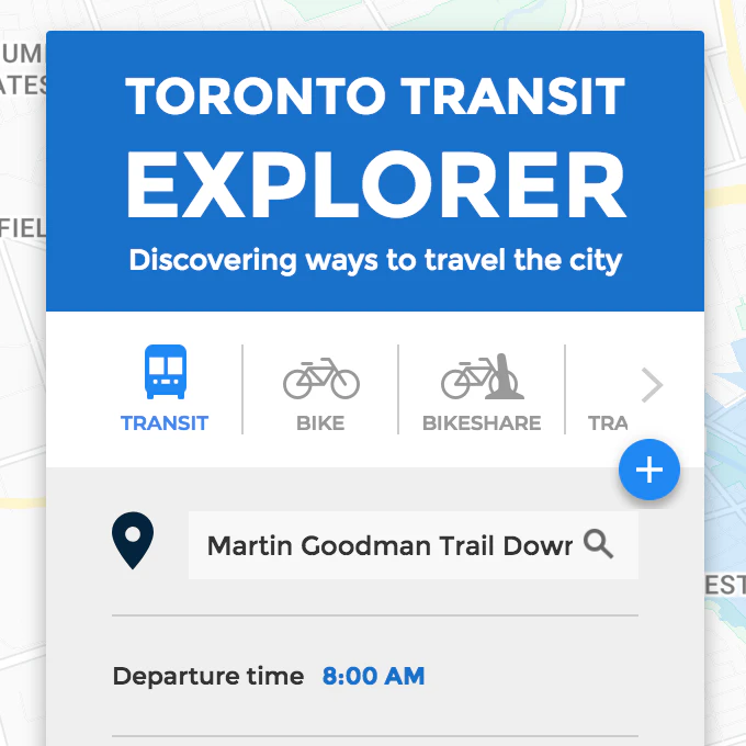
Discovering ways to travel the city
2018 · its alternatives →
- 21

İstanbul metrosu, Marmaray, tramvay ve füniküler için canlı tren konumlarını ve servis arızalarını tek haritada gösteren açık kaynaklı uygulama.
May 2026 · tarif.ist · its alternatives →
- 22

Street Art from around the world
2014 · artsandculture.google.com · its alternatives →
- 23

As a side project I built Sydney Transit Graph - a visualisation of real-time Sydney bus congestion. Each line on the graph (a Marey chart) represents a bus completing its route (percentage) over time.
2022 · jakecoppinger.com · its alternatives →
- 24

A real-time map that helps New Yorkers get around.
Jan 2026 · aptransit.co · its alternatives →
Also compare
- TOTransit.ca - Toronto Streetcars Live On a Map (Weekend Project) alternatives
- Every MUNI, BART and Caltrain in SF on a Live Map alternatives
- Trains.fyi – a live map of passenger trains in the US and Canada alternatives
- SF Trip Planner alternatives
- Isopolis – Isometric pixel map of SF alternatives
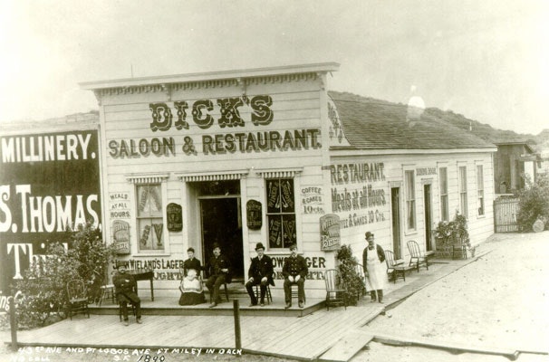
- OldSF alternatives
Ranked by how close each launch is in meaning, then by votes. Prices were read from each product’s own site when checked and can change. Refine with your own description →