Life & fun · September 3, 2026

TimberSentry
See decades of land change from satellite, before you buy
TimberSentry launched on September 3, 2026 with 1 votes, #3,903 of 8,097 launches that month.
What it does
TimberSentry turns public Landsat and NAIP satellite archives into a property-specific historical report. Draw your land's boundary, and see quality-screened imagery from 1984 to today — clearing, regrowth, and canopy change, organized into a source-cited PDF, MP4 timelapse, and GIS-ready package. Built for land buyers, foresters, and rural real estate due diligence. Free to search; reports start at $29.
Generate historical satellite land change reports for $49. Preview a property-specific Landsat/NAIP web report, print or save it as PDF, and receive an MP4 and GIS-ready ZIP. No subscriptions.
TimberSentry saves hours of finding, screening, clipping, comparing, and organizing historical imagery—so you can review decades of property history without doing the manual GIS work or hiring a GIS consultant. Choose one way to mark the property. We will validate the area before searching the imagery catalog. KML and KMZ polygon boundaries up to 5 MB. Non-polygon placemarks are ignored. Historical catalog from 1982 to present. Supported area: more than 250 acres and up to 5,000 acres. No account or payment required. Coverage varies by location and source. Your search found public imagery for this property. Review the recommended season below, open the free source links, or continue…from timbersentry.com
Does a similar job
all alternatives → Every mountain, building and tree shadow mapped for any date and time2024 · shademap.app · ▲685
I've been working on this project for about 4 years. It began as terrain only because world wide elevation data was publicly available. I then added buildings from OpenStreetMap (crowd sourced) and more recently from Overture Maps data. Some computer vision/machine learning advancements [1] in the past few years have made it possible to estimate tree canopy heights using satellite imagery alone making it possible to finally add trees to the map. The data isn't perfect, but it's within +/- 3 meters of so. Good enough to give a general idea for any location on Earth. Happy to answer…
- FWForest Watch2024 · koenvangilst.nl · ▲72
Keep track of forests in your area by viewing changes in tree cover over time. I’ve build this as a demo of what you can do with the ArcGIS library and the geo data that is offered by Global Forest Watch and Esri. Don’t forget to click the history button. Works best on desktop! The demo is build with React and open source: https://github.com/vnglst/koenvangilst.nl/tree/main/app/(bla...
 Unfenced – Land for sale that borders public land6d ago · unfenced.land · ▲319
13,626 properties measured against USGS PAD-US, from 695,439 active listings across 49 regions. Every claim is measured from parcel boundaries.
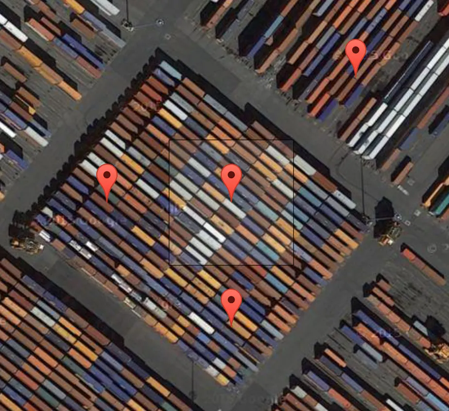
 Landler by The Landbanking GroupApr 2026 · thelandbankinggroup.com · ▲71
The operating system for natural capital management
 I created this land use visualisation for the Netherlands2024 · koenvangilst.nl · ▲78
Last weekend, I tried creating an original visualization of something on many minds in my home country the Netherlands: land use. Much of our discussion revolves around land use—housing crisis, sustainable farming, solar energy—it's all about the land. To illustrate this, I created a map where each hexagon represents 0.06% (26,647 hectares) of land in the Netherlands. The color indicates the type of land use.
More life & fun this month
the category →
A free city-building game in your browser. You are the mayor. You know what the city needs. Now get it past the zoning board, the neighbors, the appeals court and the next election.
Life & fun · 20h ago · permit.petercai.com
- IV
Life & fun · 13d ago · tanzaniaeducationproject.org

Turn a phone, tablet or TV into a sign. Type a message and it fills the screen: welcome signs, timers, Wi-Fi passwords and more. No app, no account, free.
Life & fun · 14d ago · bigwords.page

Play a free virtual guitar online with your keyboard or by touch. Slow songs down and see every chord, string and strum. Acoustic, classic, electric and bass.
Life & fun · 8d ago · guitoro.com

Carrier settings from iPhone, Pixel and Galaxy firmware, decoded and compared: APNs, VoLTE, 5G and Wi-Fi Calling per carrier, and what each build changed.
Life & fun · 12d ago · carrierexplode.com

Life & fun · 22d ago · space.bl2.net
Source: Product Hunt launch ↗
Launched alongside, September 2026
the whole month →
E-ink bird frame for Raspberry Pi - real-time bird detection by audio, fully local AI, rendered as real, hand-cut 1800s bird illustrations. - arnegiacomo/fugleramme
AI · Sep 2026 · github.com
- WI
Special relativity simulator in which light crawls along at a human speed, so Lorentz contraction, aberration and Doppler shift happen at walking pace.
Life & fun · Sep 2026 · rivendell.dmitrybrant.com


Start coding agents, control sessions, review PRs. Anywhere.
Dev tools · Sep 2026 · kilo.ai
