AI · alternatives · 2026

24 alternatives to GeoLens
Oltre i limiti della realtà
Below are 24 products that do a similar job, ranked by how close each is in meaning and then by launch-day votes.
- 1
 Globestudio▲84
Open-source dotted maps and 3D globes for designers
24d ago · globestudio.app · its alternatives →
- 2
- 3
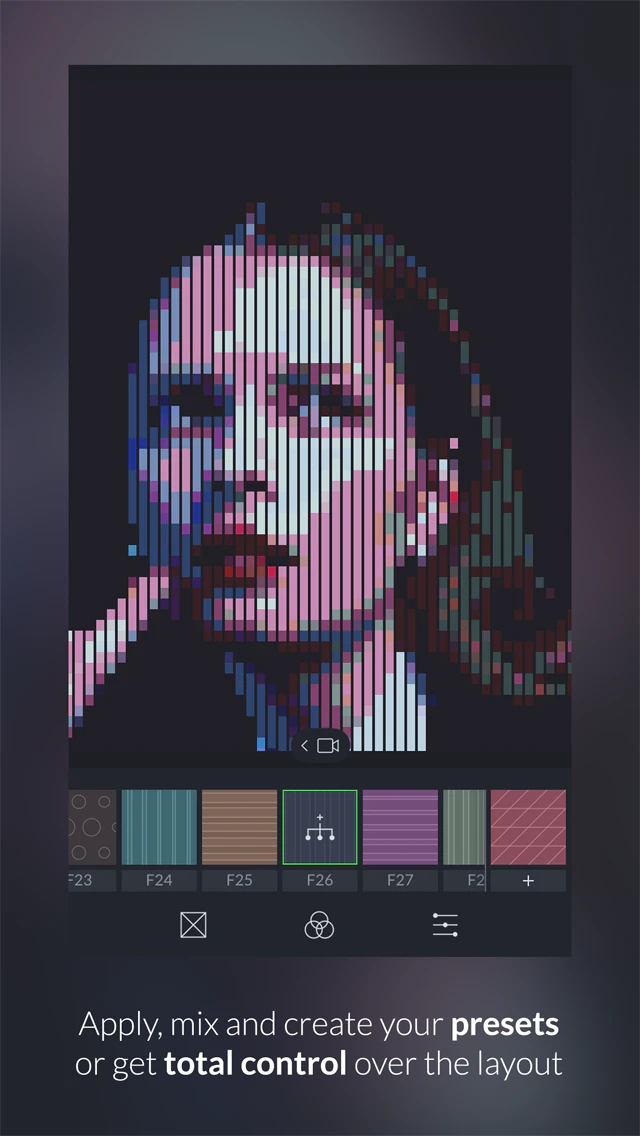 GeometriCam▲109
Abstract geometric design in real-time.
2015 · geometricamapp.com · its alternatives →
- 4

- 5
 Odyssey 3▲159
A world model that simulates physics in real time
15d ago · odyssey.systems · its alternatives →
- 6

- 7
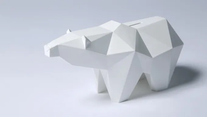 Koguma▲69
A piggybank to discover the arctic in augmented reality
2015 · kickstarter.com · its alternatives →
- 8
 Cartographer▲79
Real-time simultaneous localization and mapping library
2016 · github.com · its alternatives →
- 9

- 10

- 11
 PixelSpace▲68
A tediously accurate scale model of the solar system
2014 · joshworth.com · its alternatives →
- 12

- 13
- 14
- 15

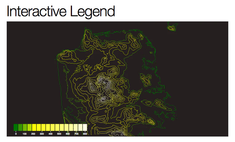
An open-source JavaScript library for world-class 3D globes
2016 · cesium.com · its alternatives →
- 16

- 17

- 18

Hey everyone, I wanted to share what I have been working on recently. I had this itch for a long time to figure out if terrain contour matching could help with ground navigation, by only only relying on iphone's sensors and public data. So far I have had decent results. This is a working prototype, but there is a lot that is in the pipeline. If you notice anything weird, let me know or open a PR. Any feedback, comments are welcome :)
Jun 2026 · github.com · its alternatives →
- 19

A platform for building games of ‘unprecedented size’
2017 · its alternatives →
- 20

A contemporary geometric sans serif, a la Futura
2015 · zetafonts.com · its alternatives →
- 21

My friend and I have been collaborating on this lighthearted introduction to doing geospatial computation in rust. Don't know Rust? Don't know geospatial? I'd be interested to know what you think.
2022 · book.georust.org · its alternatives →
- 22KM
2024 · krata.app · its alternatives →
- 23R3
2019 · vectary.com · its alternatives →
- 24
Also compare
Ranked by how close each launch is in meaning, then by votes. Prices were read from each product’s own site when checked and can change. Refine with your own description →