Life & fun · alternatives · 2026

24 alternatives to ej-hiking
kml,google earth,tour,hiking
Below are 24 products that do a similar job, ranked by how close each is in meaning and then by launch-day votes.
- 1
- 2FO
2014 · hike.io · its alternatives →
- 3

- 4

- 5

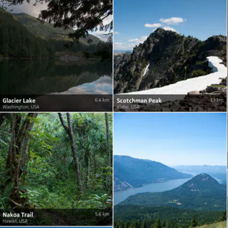
Hi HN! This is a trail companion web app (think AllTrails) I hacked together in a couple weeks time. I was inspired to create this project while training for an extended backpacking trip. My motivation was to create a UI tailored exactly to my liking, and to be able to track my progress along the trail without draining my battery. I also wanted to experiment with PWA technologies. I successfully used it on my five day adventure along the Knobstone Trail in southern Indiana, and even though it's web-based it hardly consumed any battery life on my old first-gen Pixel XL. It's set up currently…
2022 · github.com · its alternatives →
- 6
- 7

- 8

Offline topographical maps and crowdsourced trail guides
2019 · wikiloc.com · its alternatives →
- 9

Revolutionize GIS data management with Geoman for Leaflet, MapLibre, and Mapbox. Add drawing, editing, cutting, splitting, snapping, measuring, and more directly on the map.
2020 · geoman.io · its alternatives →
- 10

Online marketplace for guided outdoor adventures
2021 · outguided.com · its alternatives →
- 11
 The Hike▲187
A "Choose Your Own Adventure" Zoom game for remote teams
2020 · arc.dev · its alternatives →
- 12

Running route planner for round-trips amongst greenery
2020 · trailrouter.com · its alternatives →
- 13

- 14
 Google Live View▲260
Google Maps now has AR enabled directions
2019 · blog.google · its alternatives →
- 15

Plan hikes, share trip reports, map routes, and browse photos from the trail.
2012 · wenthiking.com · its alternatives →
- 16
 EarthQuest▲138
Random adventure generator to motivate you to go outside
2022 · earthquest.net · its alternatives →
- 17
 GeoPreview▲70
Preview GIS files directly in Finder (GeoJSON, SHP, GPKG)
Apr 2026 · apps.apple.com · its alternatives →
- 18

Measuring distance and area in Google Earth
2018 · earth.google.com · its alternatives →
- 19

Android App where hikers can plan, document their hikes
2025 · play.google.com · its alternatives →
- 20

- 21

- 22

- 23

I'm working on a GPS track visualizer for quite some time. It shines in hilly and mountaineous terrain (where a 3D view makes more sense), but it also offers quite a lot of Strava-like features (statistics etc.). You can upload your GPX and FIT files manually, or sync directly with Garmin, Coros and Polar. See https://cubetrek.com for the live app and check out some examples there. It's free and opens source. Also, anyone who likes to work with 3D visualizations (especially Babylon.js), let me know if you like to help polish this thing further.
2025 · github.com · its alternatives →
- 24

Also compare
Ranked by how close each launch is in meaning, then by votes. Prices were read from each product’s own site when checked and can change. Refine with your own description →