Dev tools · alternatives · 2026

24 alternatives to I built a Red Flag Warning zone-check tool for the East Bay in 48h
Hey HN. I'm a high schooler in Fremont, CA. Tuesday morning I got a county-wide AC Alert text telling everyone in Alameda County to prepare a go-bag for an East Bay Hills Red Flag Warning that starts tonight at 11 PM. The text went to ~half a million phones. The actual NWS warning polygon only covers East Bay Hills (NWS zone CAZ515). Most people who got the text don't need a go-bag tonight. Some in the hills don't realize how close they are. So I built this tool - https://redflag-check.info/ mit licensed public github -…
A Red Flag Warning zone-check tool for the East Bay that helps residents determine if they are within active fire warning areas. Built by a high school student in response to overly broad emergency alerts sent to… Below are 24 products that do a similar job, ranked by how close each is in meaning and then by launch-day votes. Prices are shown for the 1 we have checked on their own sites, 1 of them free or with a free tier.
- 1

After down detector went down with the rest of the internet during the Cloudflare outage today I decided to build a robust, independent tool which checks if down detector is down. Enjoy!!
Nov 2025 · downdetectorsdowndetector.com · its alternatives →
- 2

Stay ahead of the weather with precise 48-hour radar, forecasts, and real-time updates from the National Weather Service. Now with Hurricane Outlooks!
2024 · weatherreportnow.com · its alternatives →
- 3

- 4

- 5

Analysing satellite imagery of the Jan 2025 Southern California wildfires - xingyzt/fire
2025 · github.com · its alternatives →
- 6

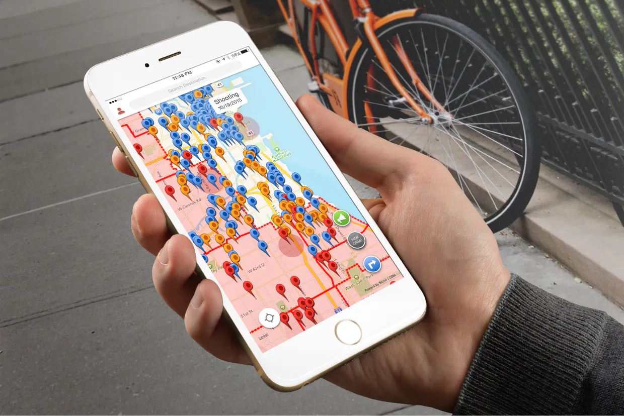
View an interactive crime map and stats for San Francisco with Safemap, a completely free tool. Put your safety in your own hands.
2024 · safemap.io · its alternatives →
- 7
 NWS Alerts▲69
National weather service alerts for your Windows desktop
2020 · github.com · its alternatives →
- 8

Basically was getting annoyed jumping between 5 different sites during this winter storm season, so I built "StormWatch". It's a no-fuss, mobile-friendly webpage (dashboard) that shows all the stuff I was looking for, but in one simple UI. Features: - Real-time NWS alerts with safety tips - Snow/ice/precip accumulation forecasts (+wind) - Dynamic preparation checklists based on your alerts - Supply calculator for your household size - Regional weather news It's free, no login required, works on any device. Just enter your ZIP.…
Jan 2026 · jeisey.github.io · its alternatives →
- 9SN
After reading "During Helene, I Just Wanted a Plain Text Website" on Sparkbox (https://news.ycombinator.com/item?id=46494734) , I built safe-now.live – a text-first emergency info site for USA and Canada. No JavaScript, no images, under 10KB. Pulls live FEMA disasters, NWS alerts, weather, and local resources. This is my first live website ever so looking for critical feedback on the website. Please feel free to look around. https://safe-now.live
Feb 2026 · safe-now.live · its alternatives →
- 10IM
Updated: Annadel/Kenwood to Napa 10/18, SR 10/12. Satellite fire map w/address search & compare mode. By Overview News © Digital Globe. Hosting by Mapbox
2017 · robinkraft.github.io · its alternatives →
- 11
 Chestnut▲75
Get your free wildfire risk analysis in under a minute
2019 · getchestnut.com · its alternatives →
- 12
 MyShake App▲77
An app dedicated to early earthquake warnings
2019 · myshake.berkeley.edu · its alternatives →
- 13

Hi HN, I built an OSINT tool called Weather2Geo that helps locate where a screenshot was taken based on the weather widget data visible (e.g. temp, condition, and local time in the taskbar). People often post these without realizing how specific those values can be in combination. It works by comparing the given weather condition, temperature, and time against current data from thousands of cities. It’s timezone-aware, supports fuzzy matching, and groups results geographically to reduce noise. It’s most effective on recent screenshots, ideally taken within the last hour—since weather and…
2025 · github.com · its alternatives →
- 14AI
This is an interactive map of US navigational aids and lighthouses, which indicates their location, color, characteristic and any remarks the Coast Guard has attached. I was sick at home with the flu this weekend, and went on a bit of a Wikipedia deep dive about active American lighthouses. Searching around a bit, it was very hard to find a single source or interactive map of active beacons, and a description of what the "characteristic" meant. The Coast Guard maintains a list of active lights though, that they publish annually…
Jan 2026 · lighthouses.app · its alternatives →
- 15MP
I have added OpenZones to Flowx, my Android weather app[0]. OpenZones are regions covering disaster zones where all the pro data in the app is freely available. I have created an 1200km diameter OpenZone over Florida with Hurricane Dorian approaching. So if you add Florida to the app, you can view radar, NOAA's GFS, NAM and HRRR models, CMC GDPS and RDPS models, and the DWD (Germany) ICON model. There are also predicted hurricane tracks from the NOAA and CMC ensemble models which I find extremely valuable to predict the possible paths of Dorian. This YouTube video[1] shows an example of the…
2019 · its alternatives →
- 16
- 17

Local-first emergency intel & synthesized storm warnings.
Jul 2026 · apps.apple.com · its alternatives →
- 18
- 19

It runs on the frontend in vanilla JS, it should work 9 times out 10.(false negatives near the border) (Not that thoroughly tested but should be fine)
2022 · github.com · its alternatives →
- 20

AI powered Police, Fire and EMS alerts
2025 · alertpage.ai · its alternatives →
- 21

https://microclimates.solofounders.com/
Jan 2026 · github.com · its alternatives →
- 22

- 23

Private clarity checks before you reply
May 2026 · apps.apple.com · its alternatives →
- 24

Also compare
Ranked by how close each launch is in meaning, then by votes. Prices were read from each product’s own site when checked and can change. Refine with your own description →