Life & fun · alternatives · 2026
24 alternatives to Singapore train system map that works offline with Service Worker
Below are 24 products that do a similar job, ranked by how close each is in meaning and then by launch-day votes. Singapore train system map that works offline with Service Worker launched in 2016; newer entries below may have overtaken it.
- 1
 Railway▲405
Hacked together a service in Go https://github.com/xlab/cdn-s3-go that routes content request to any arbitrary S3-compatible bucket. Some infra providers are offering free egress, but buckets are only private (hello Railway), and not geo-distributed. An L4 balancer will cost a fortune (hello Cloudflare). cdn-s3-go solves this by looking up objects, generating a pre-signed URLs and redirecting the clients directly. Free egress, cheap public geo-distributed CDN!
2021 · railway.com · its alternatives →
- 2
New maps product that also works offline and has cool x-ray
2015 · urbanengines.com · its alternatives →
- 3

Hey all! My train the other day was delayed and I got curious where they all were at any given time, so I built a map and figured I'd share it.
2023 · trains.fyi · its alternatives →
- 4

deck.gl based visualiser of the TFL Api + National Rails to be able to track (with minimal drift) a train along the way in London and to the nearest airports. If you pick one from any platform in https://nexttrain.london basically you can share your train journey along the rails. Build to test Cloudflare workers and their infra along with deck.gl performance that is incredible in my opinion.
Jul 2026 · ride.nexttrain.london · its alternatives →
- 5

- 6

- 7

- 8
 Fleet (iOS)▲80
Late night shuttle service, making Caltrain 24/7
2014 · apps.apple.com · its alternatives →
- 9

Simple iOS app for using MRT in Singapore
2015 · apps.apple.com · its alternatives →
- 10

Hi HN, I’m a junior developer. I wanted to share a side project I’ve been working on. The national railway carrier (BDZ) has no public API. They have an official map but the UI is quite dated, often lags, and doesn't show the full route context. I wrote a short write-up about the process here: https://www.pavlinbg.com/posts/bg-train-tracker I know it's still rough around the edges (I'm still working on it), but I’d love to hear your feedback or suggestions!
Dec 2025 · bdzmap.com · its alternatives →
- 11

- 12

I previously made a web version of The Weekendest, but when I was laid off from my last job, I decided to take the free time I had to pick up Swift UI, and made a native iOS version of it. The main draw of the app is that the map is dynamically generated based on the current subway routing, so when you open the app on weekends or overnight, you'll see lines correspond to where the trains are actually running, which is a very unique NYC problem. Let me know what you think!
2024 · apps.apple.com · its alternatives →
- 13

Live map of every Muni, BART & Caltrain in SF, with a from→to planner - UtpalJayNadiger/wheres-my-muni
Aug 2026 · github.com · its alternatives →
- 14

- 15MA
2014 · loadshedding.johanndutoit.net · its alternatives →
- 16
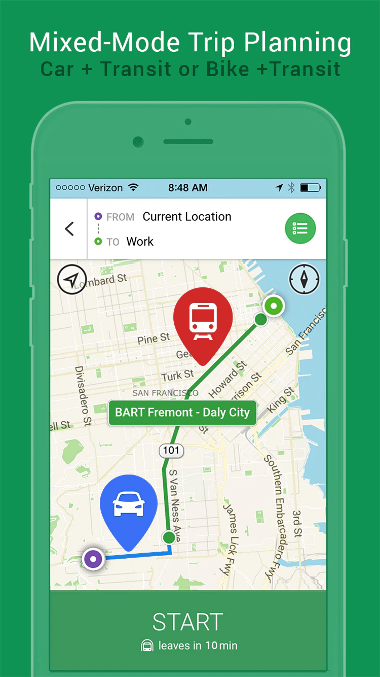
Single- & mixed-mode routing. Offline Maps. Xray-Mode
2015 · urbanengines.com · its alternatives →
- 17
 GoBusSG▲4
Live Singapore bus & MRT arrivals — now on your wrist
Jun 2026 · mitsoftwarelab.com · its alternatives →
- 18

Explore the Berlin subway system using Memgraph Lab, mapping subway stops as nodes and connections as edges in a graph database.
2023 · memgraph.com · its alternatives →
- 19

- 20
 Tokyo Trains▲13
Semi inspired by the 3d Shinjuku station that was posted again recently, I noticed it was missing a large portion of the "complex" where "complex" is defined loosly has how far you can walk without stepping outside. So I asked Claude to make a 3d map of all Tokyo Trains, no libraries, and let you zoom into stations, and the first version with both map and the Shinjuku complex was ready in about 3 hours. It spent another 7 or so in various nit picky things I asked for to get to the current version. I know these will only get better but I think the thing I find most interesting is no libraries…
Aug 2026 · greggman.github.io · its alternatives →
- 21

During a recent subway outage in San Francisco I decided to build a webapp in the spirit of "Do I Need an Umbrella," basically to answer the question "Should I take the subway or a bus?" In the interest of learning new tools I decided to vibe code it as much as possible. First, I had Claude Code write a background script to download images of the real-time circuit diagram of the subway, which are publicly available here: http://sfmunicentral.com/ Next I had it build an image labeler tool in tkinter, which turned out to need a lot of manual tweaking before I could even get to…
Jan 2026 · munimet.ro · its alternatives →
- 22
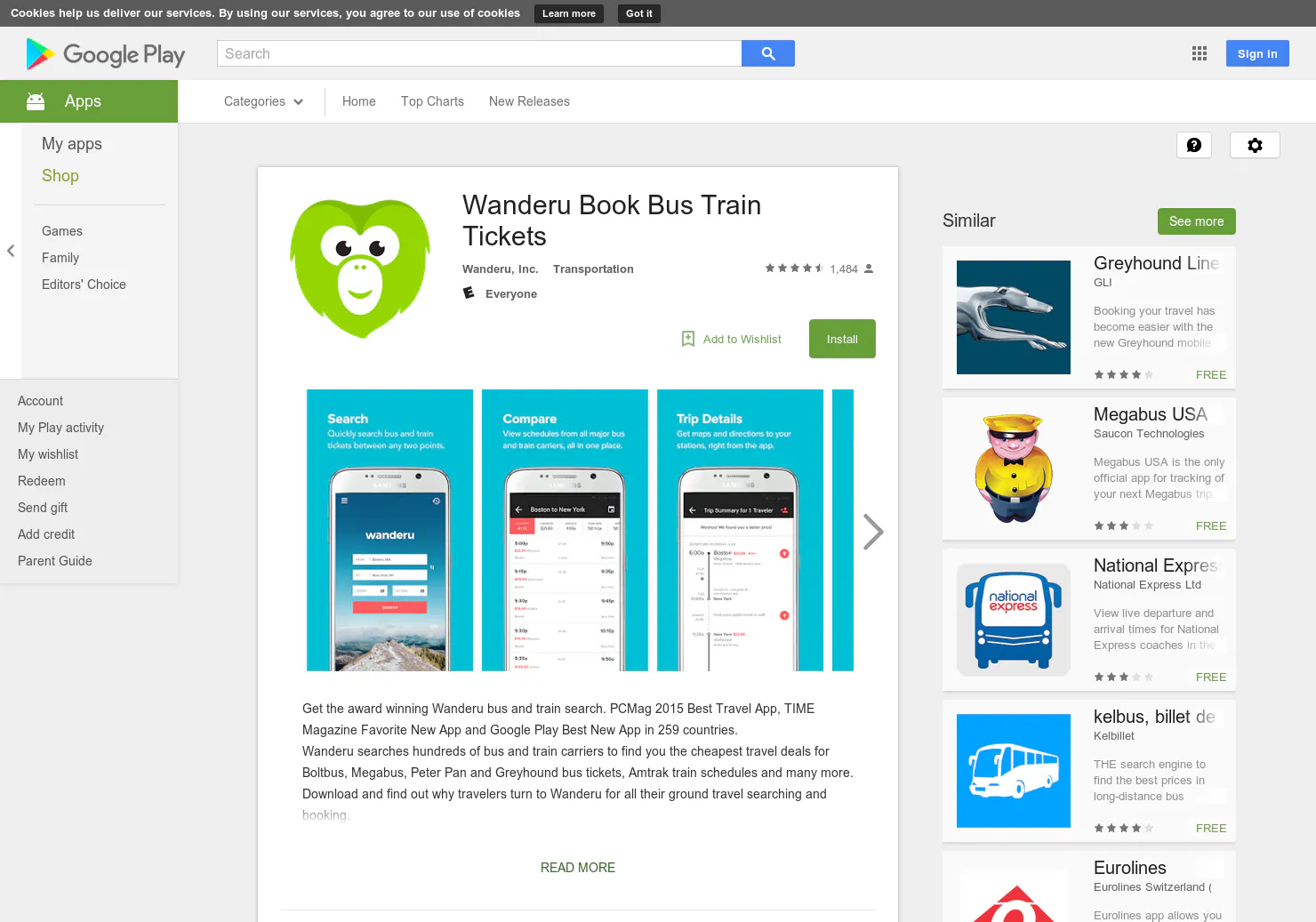
A comprehensive resource for bus and train travel
2015 · play.google.com · its alternatives →
- 23

2015 · uberestimate.com · its alternatives →
- 24

Hi HN, I built *Sightline*, a Shodan-style search engine for *physical-world infrastructure*. Shodan makes it easy to explore exposed internet services. Sightline applies the same idea to the real world, using OpenStreetMap as the data source. You can search things like: * “telecom towers in karnataka” * “power plants near mumbai” * “data centers in paris france” or use structured queries: * `type:telecom operator:airtel region:karnataka` * `type:data_center operator:google` Sightline: * uses Overpass API for querying OSM features * uses Nominatim for resolving countries, regions, and cities…
Jan 2026 · github.com · its alternatives →
Also compare
Ranked by how close each launch is in meaning, then by votes. Prices were read from each product’s own site when checked and can change. Refine with your own description →