Dev tools · alternatives · 2026

24 alternatives to Algorithmically finding the longest line of sight on Earth
We're Tom and Ryan and we teamed up to build an algorithm with Rust and SIMD to exhaustively search for the longest line of sight on the planet. We can confirm that a previously speculated view between Pik Dankova in Kyrgyzstan and the Hindu Kush in China is indeed the longest, at 530km. We go into all the details at https://alltheviews.world And there's an interactive map with over 1 billion longest lines, covering the whole world at https://map.alltheviews.world Just click on any point and it'll load its longest line of sight. Some of you may remember Tom's post[1] from…
This project uses a Rust and SIMD algorithm to find the longest lines of sight across Earth's terrain. It confirmed that the longest unobstructed view spans 530km between Pik Dankova in Kyrgyzstan and the Hindu Kush in… Below are 24 products that do a similar job, ranked by how close each is in meaning and then by launch-day votes.
- 1

I've been working on this project for about 4 years. It began as terrain only because world wide elevation data was publicly available. I then added buildings from OpenStreetMap (crowd sourced) and more recently from Overture Maps data. Some computer vision/machine learning advancements [1] in the past few years have made it possible to estimate tree canopy heights using satellite imagery alone making it possible to finally add trees to the map. The data isn't perfect, but it's within +/- 3 meters of so. Good enough to give a general idea for any location on Earth. Happy to answer…
2024 · shademap.app · its alternatives →
- 2

Earth looked very different long ago. Search for addresses across 750 million years of Earth
2018 · dinosaurpictures.org · its alternatives →
- 3
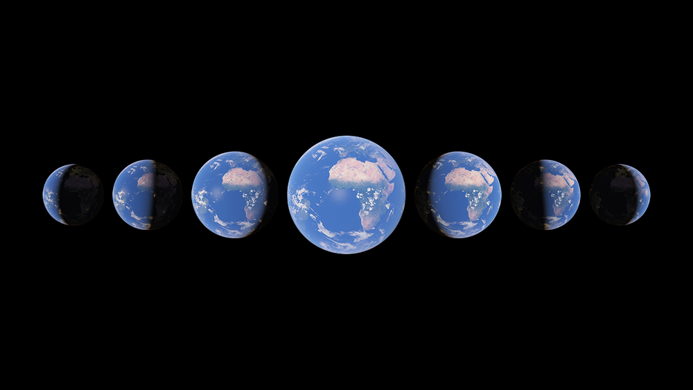
Watch time unfold and witness 40 years of planetary change
2021 · earth.google.com · its alternatives →
- 4

The quickest and easiest territory mapping software that you ever used. Trusted by more than 1000 customers for data-driven decisions
2018 · oalley.net · its alternatives →
- 5

Hi HN, I built *Sightline*, a Shodan-style search engine for *physical-world infrastructure*. Shodan makes it easy to explore exposed internet services. Sightline applies the same idea to the real world, using OpenStreetMap as the data source. You can search things like: * “telecom towers in karnataka” * “power plants near mumbai” * “data centers in paris france” or use structured queries: * `type:telecom operator:airtel region:karnataka` * `type:data_center operator:google` Sightline: * uses Overpass API for querying OSM features * uses Nominatim for resolving countries, regions, and cities…
Jan 2026 · github.com · its alternatives →
- 6

Nikmati kemudahan deposit via QRIS, Dana, OVO, LinkAja, GoPay, dan bank BCA/Mandiri/BRI di Buaya138. Proses cepat tanpa potongan. Minimal deposit 10rb.
2019 · sunlight.live · its alternatives →
- 7
 UpToWhere▲28
The idea came to me after spotting the sea peeking through mountains on a drive near Barcelona. It left me wondering what else was visible from different locations. Some of the features I later added include 3D maps, sun path calculation, adjustable elevation (calculate from a drone/plane POV), and mountain detection. To celebrate the launch, the first 100 HN users can get 1 month of free premium access with the code: UTWfirst100. I’d love your feedback, questions, and suggestions. What would you use this for? What features would you like to see?
2025 · uptowhere.com · its alternatives →
- 8

How far must a 5° slice go in each direction before it hits N people?
Jul 2026 · imjasonh.github.io · its alternatives →
- 9
A "virtual satellite" to map Earth in unprecedented detail
2025 · deepmind.google · its alternatives →
- 10
 Window View▲112
Step inside any building on Google Earth to see the view
Mar 2026 · wengh.github.io · its alternatives →
- 11

Visual explanation of pathfinding algorithms and how a*, Dijkstra and BFS can be seen as the same algorithm with different parameter/data structures used under the hood - npretto/pathfinding
2021 · github.com · its alternatives →
- 12TM
2012 · mostbeautifulplaces.org · its alternatives →
- 13MA
The concept for metiq.space came after playing Global Magnates with friends and realizing how fragmented live global data is. ships, aircraft, satellites, ports, weather, hazards, infrastructure, cyber, and public datasets all exist, but they usually live in separate tools and maps. The goal was to build one interactive 3D globe where live public data could be visualized by latitude, longitude, and altitude. Surface data stays on the globe, while aircraft, satellites, and other above surface things can be represented in actual 3D space instead of being flattened onto a map. The outcome is an…
Jun 2026 · metiq.space · its alternatives →
- 14

Hey HN! I made Orbit, an iOS app that allows you to see the satellites, planets, and constellations above you in AR, on a 2D map, and on a 3D globe. The app includes more than 15,000 objects tracked by CelesTrack, together with their pass predictions, descriptions, and detailed orbital data. A searchable catalog of all objects is also available, as well as a built-in chatbot designed to answer any space-related questions you might have. This is my first published iOS app, so any feedback is greatly appreciated! App Store: https://apps.apple.com/app/id6772174570
Jul 2026 · nagylukas.github.io · its alternatives →
- 15

- 16

- 17
 Views on Top▲89
Features the best high-up vantage points across 84 countries
2015 · apps.apple.com · its alternatives →
- 18

"Street view" on oceans around the world
2014 · google.com · its alternatives →
- 19

This app was designed to answer my wife’s question “what country would we hit if we went straight” (generally posed while pointing her phone) But with two additional twists: 1. It loads up historical maps from different years (right now 1 BC, 700 AD, 1000 AD, 1300 AD, 1800 AD, 1900 AD) so you can see what you would hit if you had a time machine AND you went in the direction your phone is pointing 2. Tap a country/territory for an (AI-generated) blurb on what you are pointing at How it works: Starting from your phone’s bearing, we trace the great-circle in 200 km steps, prefilter…
2025 · apps.apple.com · its alternatives →
- 20

I've been working on GeoTraceroute for a while and just shipped v2.3 with submarine cable inference. A few things that might interest HN: - 320 community-contributed nodes across 50 countries, all volunteer-run - Three views: 3D globe with day/night rendering, 2D map, and a topological mode that infers submarine cable routing - The submarine cable inference is the part I find most interesting. Since cable routers don't respond to ICMP, the underwater segments are invisible to standard traceroute. The tool detects ocean crossings by geolocation delta between consecutive hops, then infers…
Apr 2026 · geotraceroute.com · its alternatives →
- 21AC
2020 · streetviews.earth · its alternatives →
- 22
Discover and track your mountain hikes
2020 · play.google.com · its alternatives →
- 23

Ever wondered if you dig a straight hole through the Earth, where would you end up? Use our interactive Antipodes Map (Land Hunter) to find the exact opposite side of your location. Challenge your geography knowledge now!
2025 · true-size.com · its alternatives →
- 24

A rotatable Earth that drags today's countries and major cities through the Merdith 2021 plate reconstruction model, plus a simple future extrapolation. Continents keep their color families while the land follows plate motion from 1000 million years ago to 250 million years ahead.
Aug 2026 · douwe.com · its alternatives →
Also compare
- Every mountain, building and tree shadow mapped for any date and time alternatives
- Plot modern addresses on Earth 240M years ago alternatives
- Timelapse in Google Earth alternatives
- A map that shows you how far you can go for a given time or distance alternatives
- Sightline – Shodan-style search for real-world infra using OSM Data alternatives
- A live map of sunlight on earth alternatives
Ranked by how close each launch is in meaning, then by votes. Prices were read from each product’s own site when checked and can change. Refine with your own description →