Life & fun · alternatives · 2026

24 alternatives to Made a website for downloading EU and US LiDAR scans and terrain models
Punkt auf der Karte wählen und aus offenen LiDAR- und Höhendaten (DGM, DOM, Punktwolken) Schummerung, Hangneigung, Sky-View-Faktor, Openness und Local Relief Model als GeoTIFF berechnen. Kostenlos, ohne Konto, für Archäologie und Heimatforschung.
Below are 24 products that do a similar job, ranked by how close each is in meaning and then by launch-day votes.
- 1G3
I made a web app to generate 3D models of real places on earth from land cover and elevation data. Click anywhere on the map to get a polygon, and then click "generate". It should work at most scales, but if your watershed or region selection is too large, the result can be less exciting because it's so flat. As a warning, the 3D models can sometimes be too much for my phone. It's nicer on desktop. I'm still working better on mobile support. The land cover data I'm using gives a cool effect, but at some point I'd like to add in global imagery and clouds. The backend is a Python thread…
2025 · topography.jessekv.com · its alternatives →
- 2LW
Hi HN, I made a web game to practice country locations a while ago and HN liked it, so I thought I'd post my updated version as well. As for how the game works and feels, I'd really recommend you checking it out for yourself, it's free, no signup, no ads. The tech stack is Vue + ts + Tailwind/Daisy for the looks. The learning algorithm is a slight modification of the ts version of FSRS. If you have anything to add, it's open source as well (https://github.com/koljapluemer/learn-worldmap), although not well documented yet. In the end it's just a little sideproject,…
2025 · map.koljapluemer.com · its alternatives →
- 3

This is a service I've built to provide equirectangular cloud maps of the whole Earth, updated every 3 hours, for free. It's based on infrared and visible light data from EUMETSAT, processed to enhance the clouds and try to reduce the impact of surface temperatures on the final image. I built it because it's surprisingly hard to find these kinds of images in a format that's useful to developers and hobbyists. I was building a 3D ISS tracker and wanted to include live clouds but couldn't find anything good, so I got sidetracked, and here we are.
2023 · github.com · its alternatives →
- 4
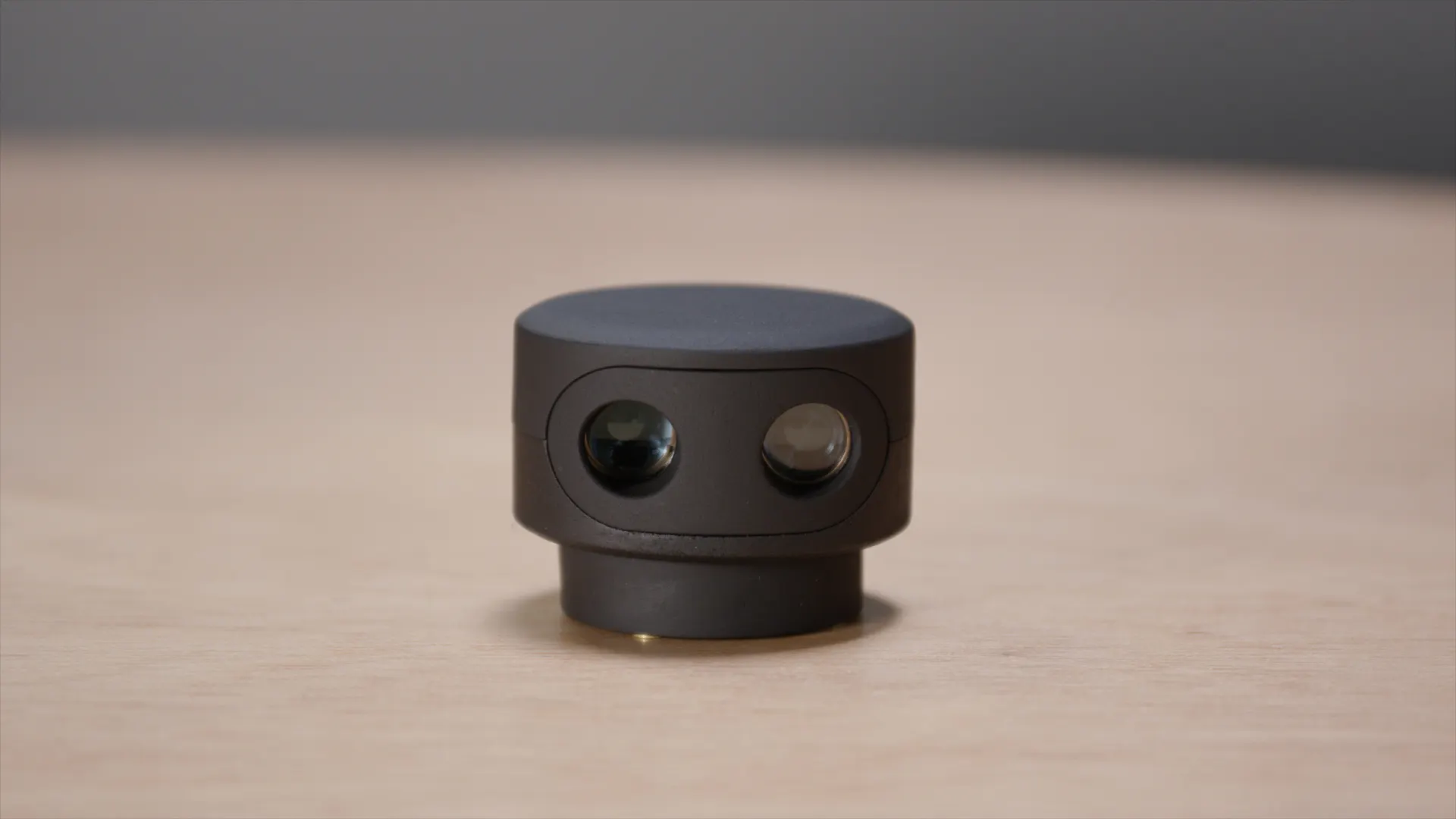
- 5AI
This is an interactive map of US navigational aids and lighthouses, which indicates their location, color, characteristic and any remarks the Coast Guard has attached. I was sick at home with the flu this weekend, and went on a bit of a Wikipedia deep dive about active American lighthouses. Searching around a bit, it was very hard to find a single source or interactive map of active beacons, and a description of what the "characteristic" meant. The Coast Guard maintains a list of active lights though, that they publish annually…
Jan 2026 · lighthouses.app · its alternatives →
- 6IM
Hi HN, I built a little tool to help me get better at remembering country locations on the map: https://learn-worldmap.netlify.app/ It's made from plain HTML/CSS/JS, and not intended to make any money or anything. Just thought that maybe someone else may enjoy it. Also of course happy about any feedback! Cheerz.
2023 · learn-worldmap.netlify.app · its alternatives →
- 7
 PixelBlock▲117
Just got around to updating this to support MV3. Has been featured on HN a few times. I make this in my spare time to support user privacy. Free extension (has been for years). Mods: Would be awesome if this could hit front page so people can benefit
2014 · chromewebstore.google.com · its alternatives →
- 8

High-resolution surface analysis with LiDAR data. Contribute to r-follador/delta-relief development by creating an account on GitHub.
2025 · github.com · its alternatives →
- 9

Hi HackerNews, Lately, I have seen an explosion in posts offering paid APIs/services to get unstructured data into LLMs (i.e. langchain extract, ragflow, unstructured, unstract, just to name a few) and I have been largely disappointed by them, either because they fail to implement multimodal support, fail to give good context for "really tricky" PDFs / Word docs / Powerpoints, or are just plain difficult to use. In light of all these posts I figured I'd share my solution that has been working smoothly for me and my clients. I put it up on GitHub for free so you can check it…
2024 · github.com · its alternatives →
- 10

We built Maptoolkit.org - a free, production-grade vector maps service built on OpenStreetMap and MapLibre. Map rendering and tile hosting have historically been either expensive (Google, Mapbox) or complex to maintain yourself. (Plus: Their maps are car-focused.) Our maps feature max data zoom 15, global hill-shading, 3D terrain, contour lines, water depths, and specialized styles (like Hiking, Cycling, Winter). No sign up or API keys required. You can use it like this: ``` const map = new maplibregl.Map({ container: 'map', style: 'https://styles.maptoolkit.org/summer.json',…
Jul 2026 · maptoolkit.org · its alternatives →
- 11
 Terrapattern▲77
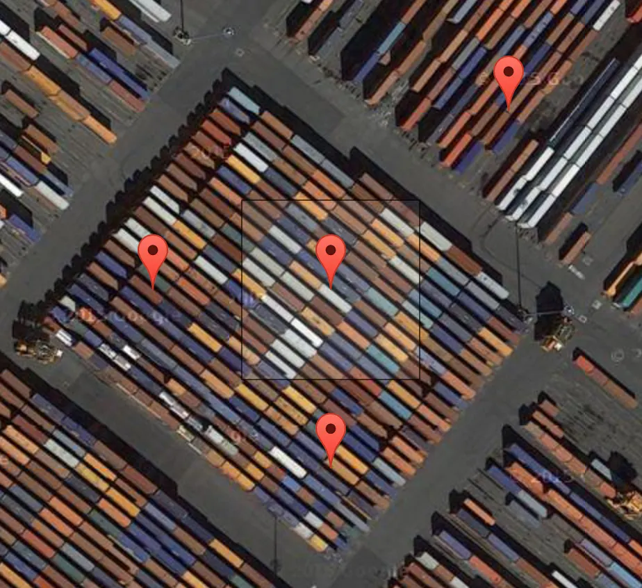
A visual search tool for satellite imagery
2016 · terrapattern.com · its alternatives →
- 12

We’re on a journey to advance and democratize artificial intelligence through open source and open science.
17d ago · huggingface.co · its alternatives →
- 13
 UpToWhere▲28
The idea came to me after spotting the sea peeking through mountains on a drive near Barcelona. It left me wondering what else was visible from different locations. Some of the features I later added include 3D maps, sun path calculation, adjustable elevation (calculate from a drone/plane POV), and mountain detection. To celebrate the launch, the first 100 HN users can get 1 month of free premium access with the code: UTWfirst100. I’d love your feedback, questions, and suggestions. What would you use this for? What features would you like to see?
2025 · uptowhere.com · its alternatives →
- 14

Hey everyone, I wanted to share what I have been working on recently. I had this itch for a long time to figure out if terrain contour matching could help with ground navigation, by only only relying on iphone's sensors and public data. So far I have had decent results. This is a working prototype, but there is a lot that is in the pipeline. If you notice anything weird, let me know or open a PR. Any feedback, comments are welcome :)
Jun 2026 · github.com · its alternatives →
- 15

Browser-Based Satellite Imagery Analysis Platform
Jan 2026 · offnadir-delta.com · its alternatives →
- 16GS
2014 · gridvisual.com · its alternatives →
- 17

- 18

Open 3D terrain generator from real world data
2019 · elevationapi.com · its alternatives →
- 19

- 20

My friend and I have been collaborating on this lighthearted introduction to doing geospatial computation in rust. Don't know Rust? Don't know geospatial? I'd be interested to know what you think.
2022 · book.georust.org · its alternatives →
- 21SS
Hey HN! We're Alex and Szymon from Bluesight (https://bluesight.ai/), where we're developing a foundation model for satellite data. We've created a demo to showcase the current capabilities of state-of-the-art models and identify areas for improvement. Our demo allows you to search for objects in San Francisco using natural language. You can look for things like Tesla cars, dry patches, boats, and more. Key features: - Search using text or by selecting an object from the image as a source ("aim" icon) - Toggle between object search (default) and tile search ("big" toggle,…
2024 · demo.bluesight.ai · its alternatives →
- 22KM
2024 · krata.app · its alternatives →
- 23
Ausschreibungen entdecken & gewinnen mit KI für KMUs
2025 · vergabepilot.ai · its alternatives →
- 24

An open-source JavaScript library for world-class 3D globes
2016 · cesium.com · its alternatives →

Also compare
- Global 3D topography explorer alternatives
- Learn where countries are on the world map with Spaced Repetition alternatives
- Near-realtime cloud maps for weather visualisation, 3D models and more alternatives
- Scanse sweep alternatives
- An interactive map of US lighthouses and navigational aids alternatives
- I made a little tool to practice country positions on the world map alternatives
Ranked by how close each launch is in meaning, then by votes. Prices were read from each product’s own site when checked and can change. Refine with your own description →