Work · alternatives · 2026

24 alternatives to RisqMap
Get your personal 1-10 property risk index in seconds.
Below are 24 products that do a similar job, ranked by how close each is in meaning and then by launch-day votes.
- 1

View an interactive crime map and stats for San Francisco with Safemap, a completely free tool. Put your safety in your own hands.
2024 · safemap.io · its alternatives →
- 2
 DataMonkey▲676
Your GeoAI to combine in-house with public map-based data
2024 · datamonkey.tech · its alternatives →
- 3
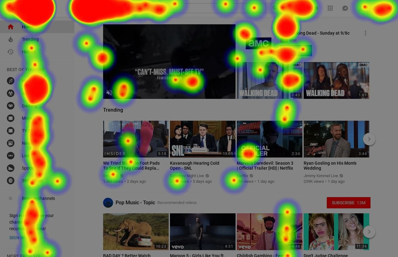
Any website's heatmap data is at your fingertips
2018 · its alternatives →
- 4

For the past few months, I've been working on a website that answers two different questions: - Where in my city have the best travel times to all the things and people I care about? - Given a listing, how far is it from all the things and people I care about? Personally this was fueled by my own frustrations when I was apartment hunting in NYC. I was frustrating to have to juggle so many Google Maps tabs when I was evaluating a listing, and it was also annoying to not have full confidence that I was even searching in the right places. I wanted to be close to work, a Trader Joe's, and a…
2025 · theretowhere.com · its alternatives →
- 5
- 6
- 7

Explore global weather forecasts on interactive maps with temperature, wind, and precipitation overlays. 16-day outlooks for cities worldwide, powered by NOAA GFS.
2014 · weather-explorer.com · its alternatives →
- 8FS
Interactive map showing climate risk data across US counties. View future climate hazard projections and risk ratings.
2025 · fulton-ring.github.io · its alternatives →
- 9

Add data to your travel and real estate searches
2020 · its alternatives →
- 10

Using smart thermometers to detect surges in COVID-19 cases
2020 · extensive.io · its alternatives →
- 11

- 12

Analyze any real estate investment in seconds
2022 · propertycalculator.co · its alternatives →
- 13
 Chestnut▲75
Get your free wildfire risk analysis in under a minute
2019 · getchestnut.com · its alternatives →
- 14

A tutorial on using geospatial analysis, shapefiles and datasets from the U.S. Geological Survey, Census, and Department of Education to visualize the impact of Oklahoma
2015 · 2015.padjo.org · its alternatives →
- 15

- 16

Analysing satellite imagery of the Jan 2025 Southern California wildfires - xingyzt/fire
2025 · github.com · its alternatives →
- 17My!hū▲81
See global environmental data in one real-time platform.
Apr 2026 · app.myhu.world · its alternatives →
- 18

Buying a home? Get a free risk assessment for any US address
2025 · safer.house · its alternatives →
- 19

A data aware UI components library for building realtime maps - reactivemaps/README.md at master · appbaseio/reactivemaps
2017 · github.com · its alternatives →
- 20

- 21
 AreaHub▲75
Discover climate and environmental hazards near you
2022 · areahub.com · its alternatives →
- 22

- 23

Geographic factors for modern risk assessment
2024 · georiskservices.com · its alternatives →
- 24

Ask a question, get a map from live data
Jul 2026 · showmeonmap.com · its alternatives →

Also compare
Ranked by how close each launch is in meaning, then by votes. Prices were read from each product’s own site when checked and can change. Refine with your own description →