Dev tools · alternatives · 2026
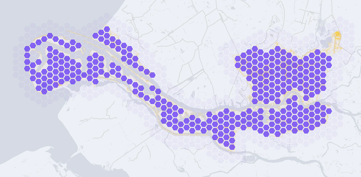
24 alternatives to GeoTessellator
Create tessellated vector grids from any geographic boundary
Below are 24 products that do a similar job, ranked by how close each is in meaning and then by launch-day votes. GeoTessellator launched in 2019; newer entries below may have overtaken it.
- 1

Flexible tool to build planet-scale vector tilesets from OpenStreetMap data fast - onthegomap/planetiler
2021 · github.com · its alternatives →
- 2TD
2021 · tilemaker.org · its alternatives →
- 3

Revolutionize GIS data management with Geoman for Leaflet, MapLibre, and Mapbox. Add drawing, editing, cutting, splitting, snapping, measuring, and more directly on the map.
2020 · geoman.io · its alternatives →
- 4MD
2023 · louisquissetlabs.com · its alternatives →
- 5

Google released an API in May to get fetch 3D Tiles of anywhere on Earth. Using this in standard 3D engines like Blender is tricky because (1) the tiles are in a geographic coordinate system (2) you get a lot of little tiles at varying quality levels I wanted to simplify this so all you need to do is get an API key, select a map region and a zoom level, and get one combined glTF file that you can throw into any engine. Especially if you're just prototyping and want to see how this data looks in your engine before investing in figuring out all the nuances of the API & coordinate system. (Note…
2023 · github.com · its alternatives →
- 6
 StarVector▲311
Generate SVG code from images and text
2025 · starvector.github.io · its alternatives →
- 7M1
2018 · geonames.tile38.com · its alternatives →
- 8

GlazeWM is a tiling window manager for macOS and Windows inspired by i3wm. - glzr-io/glazewm
2022 · github.com · its alternatives →
- 9

MapHub allows you to create, share and collaborate interactive maps online.
2016 · maphub.net · its alternatives →
- 10

:triangular_ruler: Create beautiful generative image patterns from a string in golang. - pravj/geopattern
2014 · github.com · its alternatives →
- 11

All commands have the format `output = \func inputs` or just `\function inputs`. Points and scalars are built on the fly. Eg `\line a b` to an empty canvas creates points `a` and `b`, and joins them with a line. One can use broadcasting semantics similar to NumPy and PyTorch in a visual setting (imagine creating a list of circles where one dim corresponds to radius and another to the center). One can also use backpropagation, run gradient descent or visualize vector fields. Almost everything is reactive so changing a variable updates all of the downstream geometry. It also allows anyone to…
May 2026 · tinyvolt.com · its alternatives →
- 12

Globe wireframe visualizations in Golang. Contribute to mmcloughlin/globe development by creating an account on GitHub.
2017 · github.com · its alternatives →
- 13MA
Hello HN! I’m excited to share this open-source community mashup showing the power and possibility of combining 3D Gaussian splat scans with traditional mesh-based 3D tiles maps in the browser. As you've probably seen on HN a bunch lately, Gaussian splats are a new method to allow custom 3D scans of scenes and objects [1] and Google Maps 3D Tiles API are the same 3D buildings and street views your familiar with in Google Earth or Google Maps, and recently they’ve been made available for inclusion in web apps. Combining splats + 3d map mixes highly detailed real-world custom micro-scans with…
2024 · maps-and-splats.glitch.me · its alternatives →
- 14
 Stamen Maps▲111
Turn any OpenStreetMap location into a watercolor painting
2015 · maps.stamen.com · its alternatives →
- 15

We built Maptoolkit.org - a free, production-grade vector maps service built on OpenStreetMap and MapLibre. Map rendering and tile hosting have historically been either expensive (Google, Mapbox) or complex to maintain yourself. (Plus: Their maps are car-focused.) Our maps feature max data zoom 15, global hill-shading, 3D terrain, contour lines, water depths, and specialized styles (like Hiking, Cycling, Winter). No sign up or API keys required. You can use it like this: ``` const map = new maplibregl.Map({ container: 'map', style: 'https://styles.maptoolkit.org/summer.json',…
Jul 2026 · maptoolkit.org · its alternatives →
- 16

A free collection of maps for every country in the world, available in 11 sizes or in SVG. - djaiss/mapsicon
2013 · github.com · its alternatives →
- 17G3
I made a web app to generate 3D models of real places on earth from land cover and elevation data. Click anywhere on the map to get a polygon, and then click "generate". It should work at most scales, but if your watershed or region selection is too large, the result can be less exciting because it's so flat. As a warning, the 3D models can sometimes be too much for my phone. It's nicer on desktop. I'm still working better on mobile support. The land cover data I'm using gives a cool effect, but at some point I'd like to add in global imagery and clouds. The backend is a Python thread…
2025 · topography.jessekv.com · its alternatives →
- 18
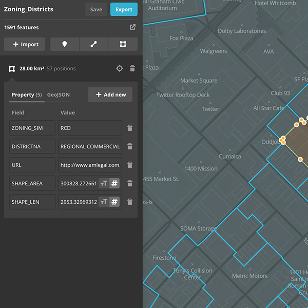
Creating and edit geospatial data in your browser
2016 · mapbox.com · its alternatives →
- 19

Design and host maps with OpenStreetMap vector tiles and open-source tools. Maps are compatible with Leaflet, MapLibre GL SDKs, GIS, WMTS/WMS, XYZ map tiles, etc.
2015 · osm2vectortiles.org · its alternatives →
- 20

Real-time Geospatial and Geofencing. Contribute to tidwall/tile38 development by creating an account on GitHub.
2016 · github.com · its alternatives →
- 21

- 22

Real-time Geospatial and Geofencing. Contribute to tidwall/tile38 development by creating an account on GitHub.
2019 · github.com · its alternatives →
- 23

The interactive 3d globe plugin
2025 · globe-map.framer.website · its alternatives →
- 24

Free grid overlay tool for designers & developers
Feb 2026 · vector-grid.tech · its alternatives →
Also compare
- Flatmap – a new tool to make vector tiles from OpenStreetMap data fast alternatives
- Tilemaker – DIY vector tiles from OpenStreetMap data alternatives
- Free GeoJSON editor to visualize, download or convert into many formats alternatives
- My demo for vector embeddings for the Earth's surface alternatives
- Get any piece of Google Earth as a single normalized glTF 3D model alternatives
- StarVector alternatives
Ranked by how close each launch is in meaning, then by votes. Prices were read from each product’s own site when checked and can change. Refine with your own description →