Dev tools · alternatives · 2026

24 alternatives to Get any piece of Google Earth as a single normalized glTF 3D model
Google released an API in May to get fetch 3D Tiles of anywhere on Earth. Using this in standard 3D engines like Blender is tricky because (1) the tiles are in a geographic coordinate system (2) you get a lot of little tiles at varying quality levels I wanted to simplify this so all you need to do is get an API key, select a map region and a zoom level, and get one combined glTF file that you can throw into any engine. Especially if you're just prototyping and want to see how this data looks in your engine before investing in figuring out all the nuances of the API & coordinate system. (Note…
This tool simplifies Google's 3D Tiles API by fetching geographic data from anywhere on Earth and combining it into a single normalized glTF file compatible with standard 3D engines like Blender. Users provide an API… Below are 24 products that do a similar job, ranked by how close each is in meaning and then by launch-day votes. Get any piece of Google Earth as a single normalized glTF 3D model launched in 2023; newer entries below may have overtaken it.
- 1MA
Hello HN! I’m excited to share this open-source community mashup showing the power and possibility of combining 3D Gaussian splat scans with traditional mesh-based 3D tiles maps in the browser. As you've probably seen on HN a bunch lately, Gaussian splats are a new method to allow custom 3D scans of scenes and objects [1] and Google Maps 3D Tiles API are the same 3D buildings and street views your familiar with in Google Earth or Google Maps, and recently they’ve been made available for inclusion in web apps. Combining splats + 3d map mixes highly detailed real-world custom micro-scans with…
2024 · maps-and-splats.glitch.me · its alternatives →
- 2G3
I made a web app to generate 3D models of real places on earth from land cover and elevation data. Click anywhere on the map to get a polygon, and then click "generate". It should work at most scales, but if your watershed or region selection is too large, the result can be less exciting because it's so flat. As a warning, the 3D models can sometimes be too much for my phone. It's nicer on desktop. I'm still working better on mobile support. The land cover data I'm using gives a cool effect, but at some point I'd like to add in global imagery and clouds. The backend is a Python thread…
2025 · topography.jessekv.com · its alternatives →
- 3IB
I've been working on an MMORPG that is now in alpha as a solo developer. Here are the major open source technologies that I use: Blender - 3D modeling software for creating the overall environment and every game object. I've gotten a lot of CC and Public Domain assets from https://poly.pizza GLTF - I export assets from blender to the GLTF asset format JSON - I write a JSON config for every game object that describes things like its name, its interactions, its collisions, etc. Node.js exporter - I iterate over the environment and every asset to create a scene hierarchy. I use…
2024 · alpha.reconquer.online · its alternatives →
- 4I3
Hey HN, I 3d scanned the interior of the Great Pyramid / Khufu's pyramid for the Giza Project this summer and just finished the guided version to share. Would love feedback and/or problems you encounter. I used both a Leica BLK 360 and Matterport Pro 2 to do the scanning and the Matterport SDK for the web viewer. Matterport's web display with Three.js has been the most accessible to a wide audience in the past (previous iterations are in Unity and Unreal, but difficult to download over slower connections). I've been interviewing social studies teachers around the 6th grade level to…
2022 · giza.mused.org · its alternatives →
- 5

Hello HN! We’re a small creative studio specializing in real-time 3D experiences. Netlify approached us to design and build an interactive experience to celebrate reaching 5 million developers. Inspired by the classic game Marble Madness, we created a gamified experience where users control a ball through playful, interactive levels. The goal was to blend marketing content with the look and feel of a game to engage users. The app is built with Three.js [1], using our custom render pipeline and shaders, and uses Rapier for physics simulation [2]. The 2D content is overlaid on the WebGL view…
2024 · 5-million-devs.netlify.com · its alternatives →
- 6
 EarthGuessr▲192
I built it as a way to practice programming. There are probably much better alternatives out there.
2025 · earthguessr.com · its alternatives →
- 7

- 8

- 9

I use a ton of 3D Files as I love 3D printing in my spare time and I usually exchange them over Gmail and store them in Google Drive etc.. Google does not have a 3D Preview of files so I've built a small Google Workspace Addon that opens the file into a clean "Google like" web app that supports most files. Other solutions existed but they were full of ads and looking absolutely terrible. It got a bit of traction (around 400 users) on the store so thought I would share it here! Would love to have feedback! Each file is treated purely in the browser for maximum privacy
Jan 2026 · 3dviewer.co · its alternatives →
- 10

This is a GPU "software" raytracer (i.e. using manual ray-scene intersections and not RTX) written using the WebGPU API that renders glTF scenes. It supports many materials, textures, material & normal mapping, and heavily relies on multiple importance sampling to speed up convergence.
2024 · github.com · its alternatives →
- 11RT
2023 · antimatter15.com · its alternatives →
- 12

Globe wireframe visualizations in Golang. Contribute to mmcloughlin/globe development by creating an account on GitHub.
2017 · github.com · its alternatives →
- 13

The interactive 3d globe plugin
2025 · globe-map.framer.website · its alternatives →
- 14

Better lighting and larger scales for 3D world generation
Nov 2025 · marble.worldlabs.ai · its alternatives →
- 15
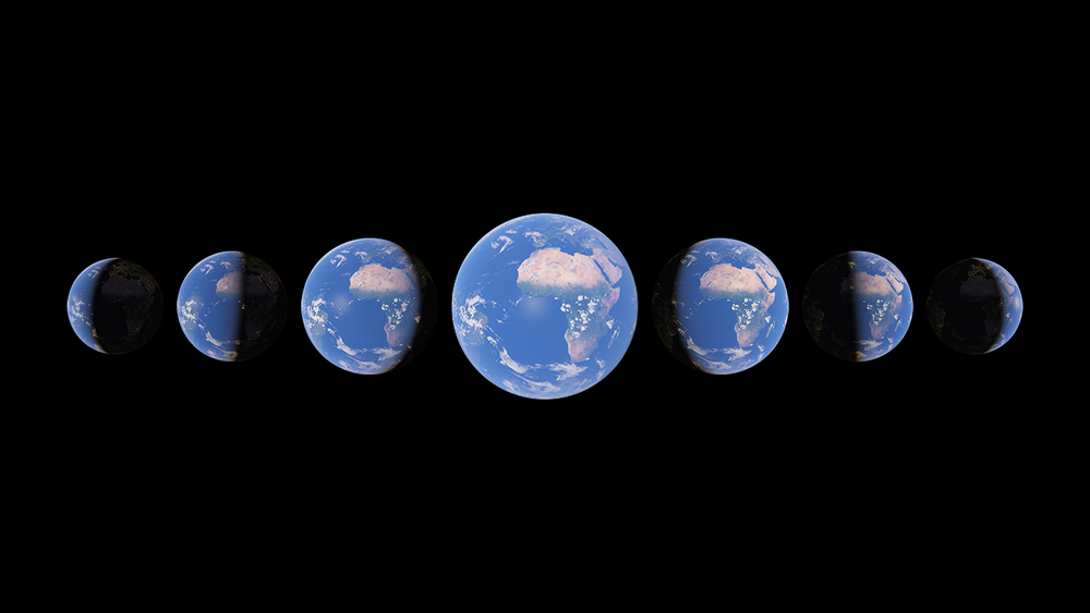
Watch time unfold and witness 40 years of planetary change
2021 · earth.google.com · its alternatives →
- 16

Flexible tool to build planet-scale vector tilesets from OpenStreetMap data fast - onthegomap/planetiler
2021 · github.com · its alternatives →
- 17IM
I made this site using R3F (https://github.com/pmndrs/react-three-fiber), a React renderer for 3JS (https://threejs.org/). The celestial bodies are Three.JS meshes. I used loaders (namely 'useLoader' from R3F and 'GLTFLoader' from 3JS) to import 3D models, such as International Space Station. More on loading models in R3F: https://docs.pmnd.rs/react-three-fiber/tutorials/loading-mod... I've future plans for this side project. It would be great to hear from the HN community before diving into them. Enjoy! P.S: Getting an empty…
2022 · spaceinbrowser.com · its alternatives →
- 18MA
The concept for metiq.space came after playing Global Magnates with friends and realizing how fragmented live global data is. ships, aircraft, satellites, ports, weather, hazards, infrastructure, cyber, and public datasets all exist, but they usually live in separate tools and maps. The goal was to build one interactive 3D globe where live public data could be visualized by latitude, longitude, and altitude. Surface data stays on the globe, while aircraft, satellites, and other above surface things can be represented in actual 3D space instead of being flattened onto a map. The outcome is an…
Jun 2026 · metiq.space · its alternatives →
- 19
 Gio.js▲77
3D globe info visualization library built with Three.js
2018 · github.com · its alternatives →
- 20

Browse and share GPU-made GIFs. Explore GLSL shader experiments, search by topic, and open any piece in the editor to learn or remix.
2018 · shadergif.com · its alternatives →
- 21

This is a service I've built to provide equirectangular cloud maps of the whole Earth, updated every 3 hours, for free. It's based on infrared and visible light data from EUMETSAT, processed to enhance the clouds and try to reduce the impact of surface temperatures on the final image. I built it because it's surprisingly hard to find these kinds of images in a format that's useful to developers and hobbyists. I was building a 3D ISS tracker and wanted to include live clouds but couldn't find anything good, so I got sidetracked, and here we are.
2023 · github.com · its alternatives →
- 22

published a major release of the GLTFJSX tool that i made last year: https://t.co/Tnt6GoOG8n it turns @glTF3D files into re-usable react threejs components that are easy to modify and customize! the comfort you get from this is close to a scene editor, but in a real prod env.
2020 · twitter.com · its alternatives →
- 23

Mobile-first 3D mapping engine with emphasis on user experience - felixpalmer/procedural-gl-js
2020 · github.com · its alternatives →
- 24

A framework for 3D geospatial visualization in the browser - UDST/vizicities
2016 · github.com · its alternatives →
Also compare
- Maps and Splats – Mashup of 3D tile maps with Gaussian Splats alternatives
- Global 3D topography explorer alternatives
- I built an indie, browser-based MMORPG alternatives
- I 3D scanned the interior of the Great Pyramid at Giza alternatives
- A Marble Madness-inspired WebGL game we built for Netlify alternatives
- EarthGuessr alternatives
Ranked by how close each launch is in meaning, then by votes. Prices were read from each product’s own site when checked and can change. Refine with your own description →